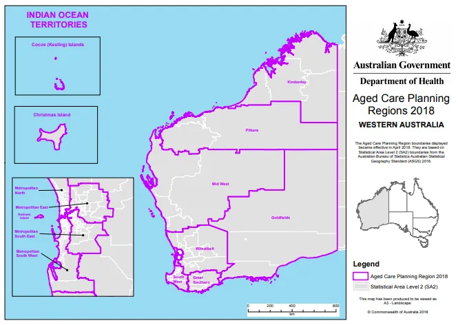
SA2s are from the Australian Bureau of Statistics Australian Statistical Geography Standard (ASGS) 2016.
WA Aged Care Planning Regions 2018 determination
WA overview map
Goldfields map
Great Southern map
Indian Ocean Territories map
Kimberley map
Metropolitan East map
Metropolitan North map 1
Metropolitan North map 2
Metropolitan South East map
Metropolitan South West map 1
Metropolitan South West map 2
Mid West map
Pilbara map
South West map
Wheatbelt map
About this resource
Publication date:
Publication type:
Dataset
Language:
English
Part of a collection: