SA2s are from the Australian Bureau of Statistics Australian Statistical Geography Standard (ASGS) 2016.
VIC Aged Care Planning Regions 2018 determination
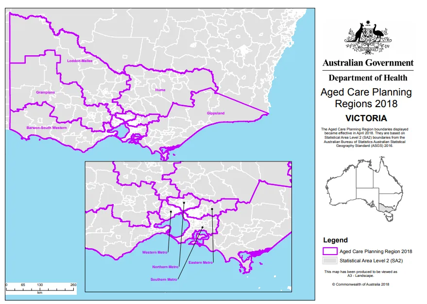
VIC overview map
Barwon-South Western map 1
Barwon-South Western map 2
Eastern Metro map 1
Eastern Metro map 2
Gippsland map
Grampians map
Hume map
Loddon-Mallee map 1
Loddon-Mallee map 2
Northern Metro map 1
Northern Metro map 2
Southern Metro map 1
Southern Metro map 2
Western Metro map 1
Western Metro map 2
About this resource
Publication date:
Publication type:
Dataset
Language:
English
Part of a collection: