Filter results
You can narrow down the results using the filters
Audience
Publication type
Topics
Our work
Diseases
9182 results
-
Budget 2019–20: Prioritising Mental Health – National Mental Health Workplace Initiative
This Budget fact sheet outlines how the Government will support employers, industries, small businesses and sole traders to create mentally healthy workplaces. -
Budget 2019–20: Prioritising Mental Health – natural disaster assistance
This Budget fact sheet outlines the Government's provision for additional mental health services and support for people affected by recent natural disasters. -
Budget 2019–20: Preventive Health – implementation of the national strategies for blood borne viruses and sexually transmissible infections
This Budget fact sheet outlines how the Government will step up public health prevention and promotion activities around blood borne viruses (BBV) and sexually transmissible infections (STI). -
Budget 2019–20: Preventive Health – implementation of recommendations of the Third Review of the National Gene Technology Scheme
This Budget fact sheet outlines how the Government will strengthen Australia’s National Gene Technology Scheme to better protect the health and safety of people and the environment. -
Budget 2019–20: Preventive Health – funding for the Health Star Rating system
This Budget fact sheet outlines how the Government will provide funding for a further two years to implement, administer and monitor the Health Star Rating (HSR) system. -
Budget 2019–20: Whole-of-Government Drug Strategy
This Budget fact sheet outlines how the Government will continue to tackle drug and alcohol abuse, funding a comprehensive package to ensure people get the right services and support, when and where they need it. -
Budget 2019–20: Fourth Action Plan (2019–22) to Prevent Violence Against Women and their Children and national training for primary care workforce
This Budget fact sheet outlines how the Government is boosting support for people affected by domestic violence with an additional $9.6 million investment. -
Budget 2019–20: Implementing Sport 2030 – safeguarding the integrity of Australian sport
This Budget fact sheet outlines how the Government is introducing vital reforms to help safeguard the integrity of Australian sport and combat present, emerging and future threats from doping, match-fixing, illegal betting, organised crime, and corruption. -
Budget 2019–20: Implementing Sport 2030 – Sports Industry Growth Plan
This Budget fact sheet outlines how the Government will develop a Sports Industry Growth Plan. -
Budget 2019–20: Implementing Sport 2030 – extension of the Community Sport Infrastructure Grants Program
This Budget fact sheet outlines how the Government will expand the Community Sport Infrastructure Grants Program to support more community-led sport and physical activity projects and get more Australians moving more often. -
Budget 2019–20: Implementing Sport 2030 – continuing Sporting Schools
This Budget fact sheet outlines how the Government will continue to support the Sporting Schools Program until 31 December 2020. -
Budget 2019–20: Implementing Sport 2030 – athlete wellbeing and pathways
This Budget fact sheet outlines how the Government will fund a new national approach to help prepare talented able and disabled athletes for life before, during and after their elite sporting careers. -
Budget 2019–20: Implementing Sport 2030 – driving social inclusion through sport and physical activity
This Budget fact sheet outlines the Government's investment of $23.6 million to expand the role that Australian sport plays in promoting social inclusion and improving health outcomes. -
Budget 2019–20: Implementing Sport 2030 – Australian Sports Foundation capital funding
This Budget fact sheet outlines the Government's further support of the Australian Sports Foundation to modernise its information and communication technology systems. -
Budget 2019–20: Implementing Sport 2030 – expansion of the Hall of Fame mentoring program
This Budget fact sheet outlines how the Government will expand the Sport Australia Hall of Fame mentoring program that partners Australia’s sporting heroes – Hall of Fame members – with young Australians who aspire to represent their country. -
Budget 2019–20: Boosting Grassroots Participation in Sport – tennis and netball
This Budget fact sheet outlines how the Government will boost grassroots participation in sport with new initiatives aimed at increasing opportunities for women and girls in tennis and netball. -
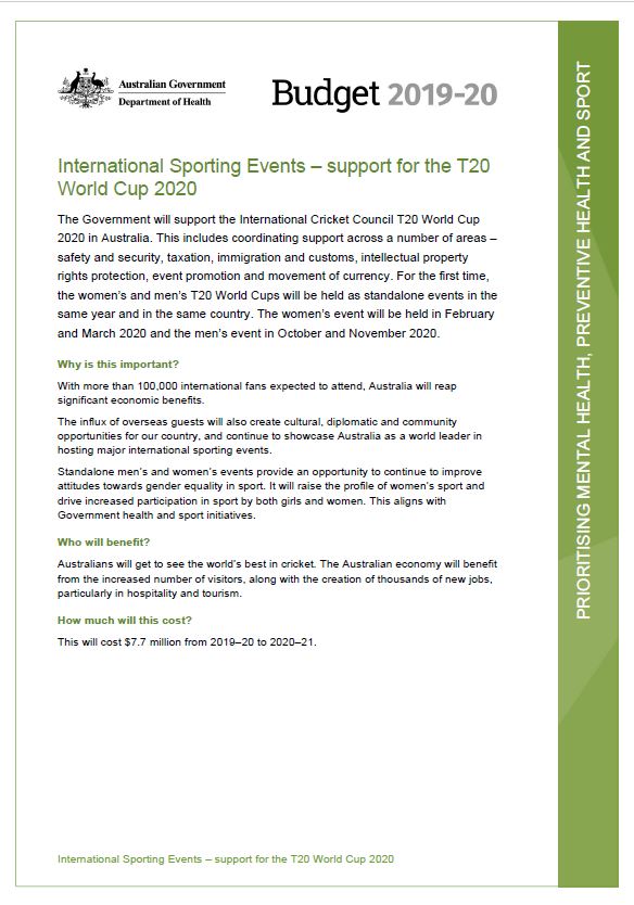
Budget 2019–20: International Sporting Events – support for the T20 World Cup 2020
This Budget fact sheet outlines the Government support for the International Cricket Council T20 World Cup 2020 in Australia. -
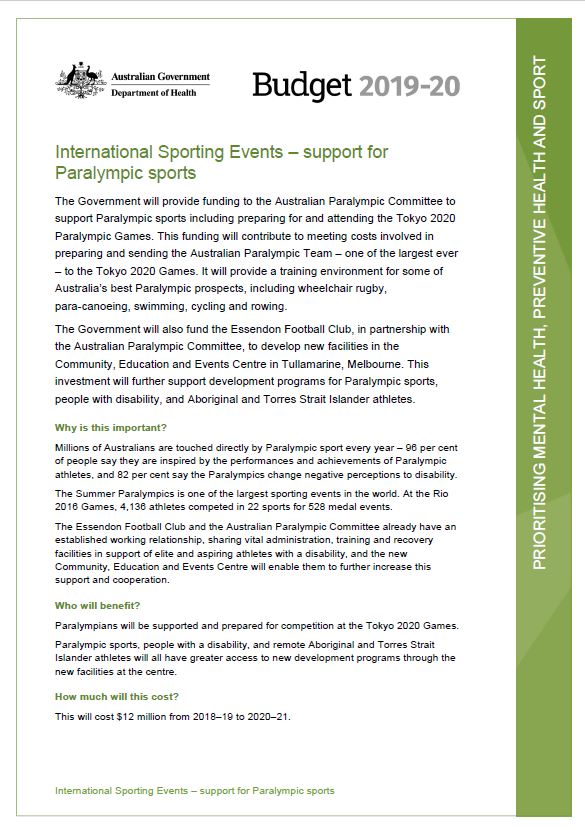
Budget 2019–20: International Sporting Events – support for Paralympic sports
This Budget fact sheet outlines the Government's funding to the Australian Paralympic Committee to support Paralympic sports, including preparing for and attending the Tokyo 2020 Paralympic Games. -
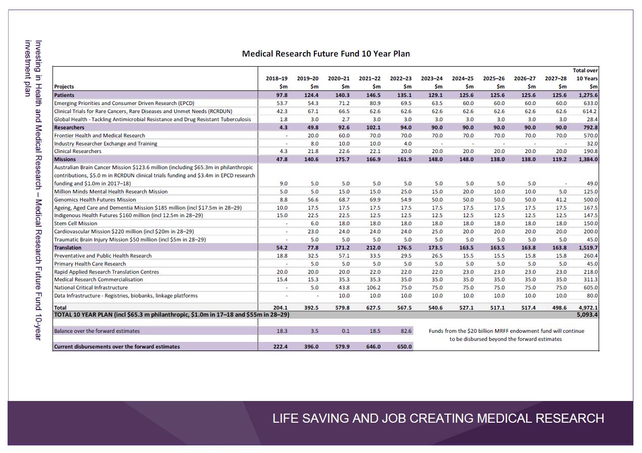
Budget 2019–20: Investing in Health and Medical Research – Medical Research Future Fund 10-year investment plan
The Government announced a $5 billion, 10-year investment plan for the MRFF as part of its 2019–20 Budget. This plan continues our support for lifesaving research, gives researchers and industry certainty and direction, and reaffirms Australia’s reputation as a world leader in medical research. -
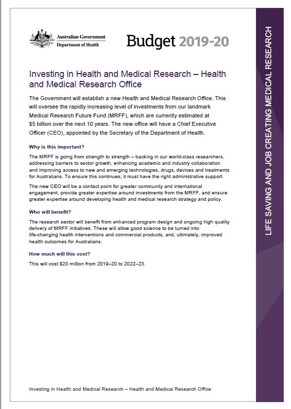
Budget 2019–20: Investing in Health and Medical Research – Health and Medical Research Office
This Budget fact sheet outlines the Government's plan to establish a new Health and Medical Research Office. -
Budget 2019–20: Investing in Health and Medical Research – Indigenous health and medical research
This Budget fact sheet outlines how the Government will invest $10 million in critical research focused on improving the health outcomes for Aboriginal and Torres Strait Islander people. -
Budget 2019–20: Investing in Health and Medical Research – fighting diabetes
This Budget fact sheet outlines how the Government will provide $56 million for research that will give new hope and support to the more than 120,000 Australian children and adults living with type 1 diabetes. -
Budget 2019–20: Investing in Health and Medical Research – additional research infrastructure
This Budget fact sheet outlines how the Government will invest in critical infrastructure to support lifesaving health and medical research, building on its $605 million investment to support the provision of vital infrastructure through the Medical Research Future Fund 10 year plan. -
Budget 2019–20: Investing in Health and Medical Research – Channel Nine Queensland telethon
This Budget fact sheet outlines how the Government will support lifesaving research into new treatments and cures for childhood life threatening diseases with a $2 million contribution to the annual Channel Nine Queensland telethon, which raises money for the Children’s Hospital Foundation. -
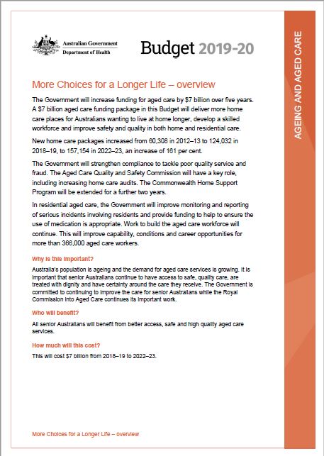
Budget 2019–20: More Choices for a Longer Life – overview
This Budget fact sheet outlines how the Government will increase funding for aged care by $7 billion over five years.