Filter results
You can narrow down the results using the filters
Audience
Topics
Our work
Diseases
11744 results
-
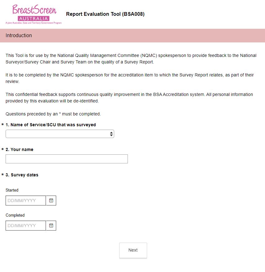
BreastScreen Australia – Report evaluation tool (BSA008)
This online survey is to be used by National Quality Management Committee (NQMC) members to provide feedback on the survey report. -
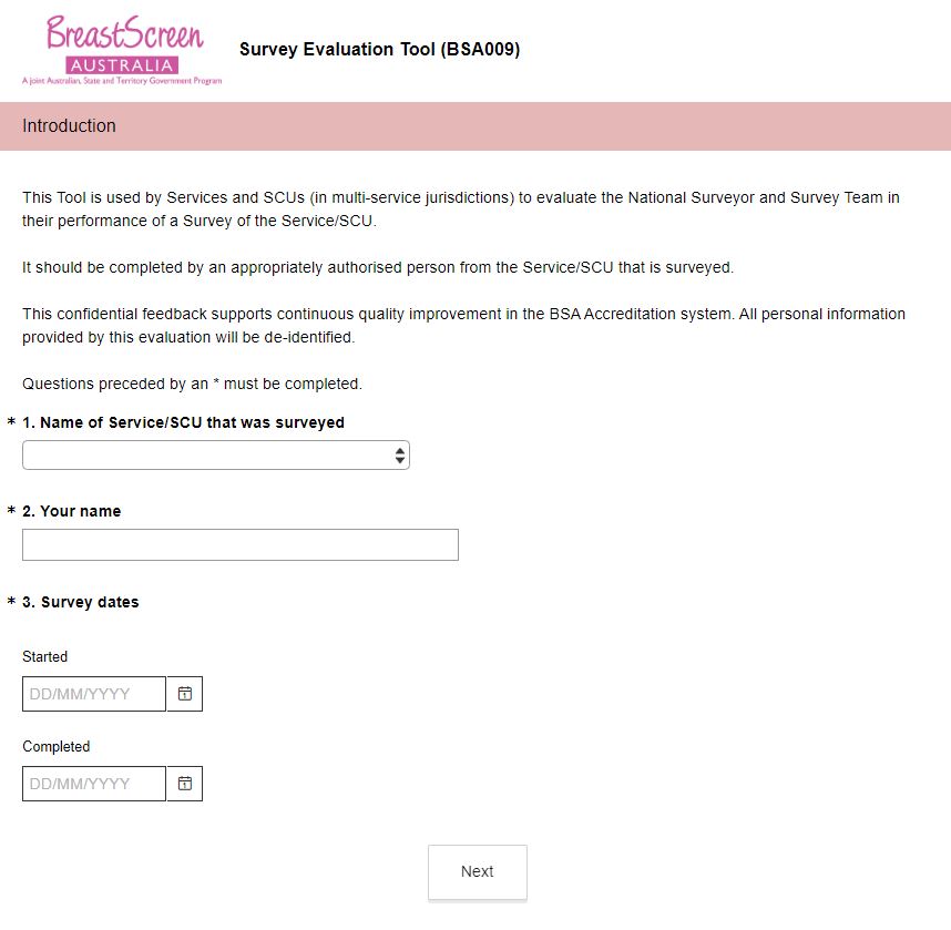
BreastScreen Australia – Survey evaluation tool (BSA009)
This online survey is to be used by a Service undergoing an accreditation survey to evaluate the conduct of the accreditation survey. -
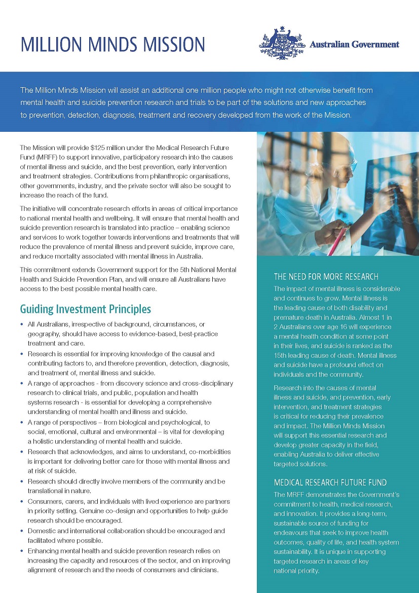
The Million Minds Mission Roadmap
This was the first roadmap for the Medical Research Future Fund’s (MRFF) Million Minds Mental Health Research Mission (the Mission). -
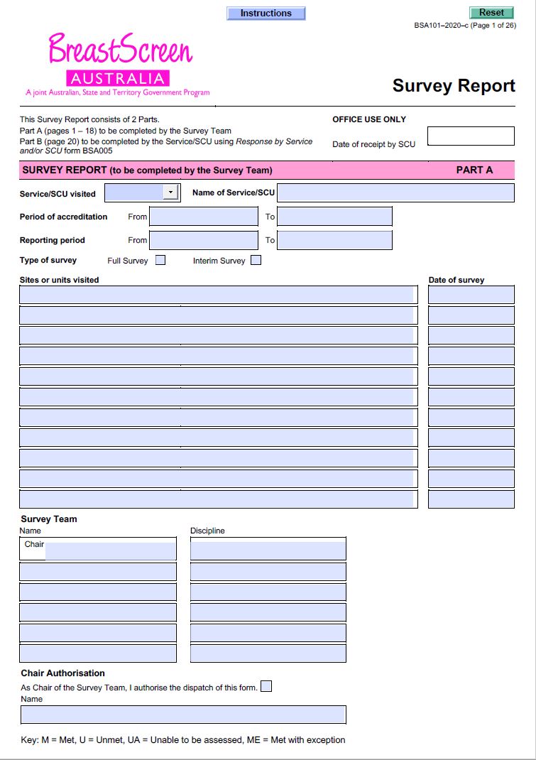
BreastScreen Australia – Survey report (BSA101)
BreastScreen Australia services and State Coordination Units (SCUs) use this form for its assessment of the Service against the National Accreditation Standards, and to record the findings of the accreditation survey. -
Marketing in Australia of Infant Formula (MAIF) Agreement complaint form
Use this form to lodge complaints about alleged breaches of the MAIF Agreement. -
ACFA Report on How Consumers Plan and Finance Aged Care
This 2018 report by the Aged Care Financing Authority (ACFA) looks at how people finance and pay for their aged care costs. It provides advice on how we can better support these important decisions. -
Red tape – effect of red tape on health services
Australian Government response to Senate Select Committee interim report: Red tape – effect of red tape on health services
-
Funding for research into cancers with low survival rates
Australian Government response to the Senate Select Committee Inquiry report: Funding for research into cancers with low survival rates
-
Domestic Health Response Plan for Chemical, Biological, Radiological or Nuclear Incidents of National Significance (CBRN Plan)
The CBRN Plan outlines how we will effectively coordinate a national health response to chemical, biological, radiological or nuclear (CBRN) incidents of national significance. It also covers recovery arrangements. -
Greater Choice for At Home Palliative Care
This summary lists the 11 Primary Heath Networks involved in the measure and an overview of their activity. -
ACFA Report on Respite for Aged Care Recipients
This 2018 report by the Aged Care Financing Authority (ACFA) found that more people are using residential respite care. It outlines concerns about how respite care places are allocated and recommends actions. -
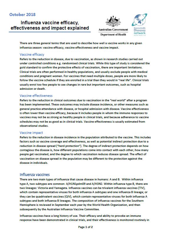
Influenza vaccine efficacy, effectiveness and impact explained
This document explains 3 general terms that describe how well a vaccine works in any given influenza season: vaccine efficacy, vaccine effectiveness and vaccine impact. -
Header agreement for the National Psychosocial Support Measure
This agreement sets out the agreed approach between the Australian Government and the state and territory governments to progress the National Psychosocial Support Measure. -
Australian Government response to the Joint Standing Committee on the National Disability Insurance Scheme final report June 2018
The Australian Government welcomes the Joint Standing Committee on the National Disability Insurance Scheme (the Committee’s) report to the Inquiry into the Provision of Hearing Services under the National Disability Insurance Scheme (NDIS) September 2017. -
Don’t make smokes your story campaign – evaluations
The National Tobacco Campaign launched the Don’t make smokes your story campaign in 2016. It focused on reducing smoking rates among Aboriginal and Torres Strait Islander peoples. The campaign has been evaluated each year and these reports outline the findings. -
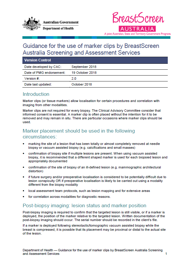
Guidance for the use of marker clips by BreastScreen Australia Screening and Assessment Services
This clinical advice from the BreastScreen Australia (BSA) reviews the use of marker clips in screening mammograms. -
Taskforce final report – MBS items for Nuclear Medicine
This report contains the Medicare Benefits Schedule (MBS) Review Taskforce's findings and recommendations to the Australian Government on its review of MBS items for Nuclear Medicine. -
Taskforce final report – Breast Imaging
This report contains the Medicare Benefits Schedule (MBS) Review Taskforce's findings and recommendations to the Australian Government on its review of Breast Imaging MBS items. -
Resources for healthcare providers – National Cervical Screening Program
This collection explains the cervical screening program for health professionals. It also includes resources for patients. -
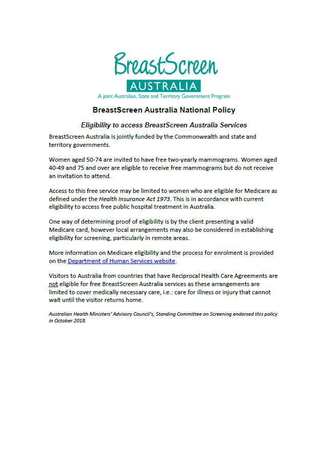
BreastScreen Australia National Eligibility Policy
This policy outlines who is eligible to access the free breast screening mammograms in Australia. -
Department of Health Annual Report 2017–18
This report describes our work to deliver the Government's long term national health plan in the financial year ending 30 June 2018. It includes information about our reforms, operations, budget, governance and performance. -
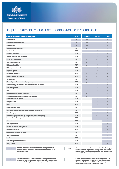
Hospital Treatment Product Tiers (Gold, Silver, Bronze, Basic) for Insurers
This fact sheet sets out the minimum requirements for each product tier. It shows the clinical categories that must be covered for each tier on an unrestricted or restricted basis. It also shows the clinical categories that are not required but may be offered. -
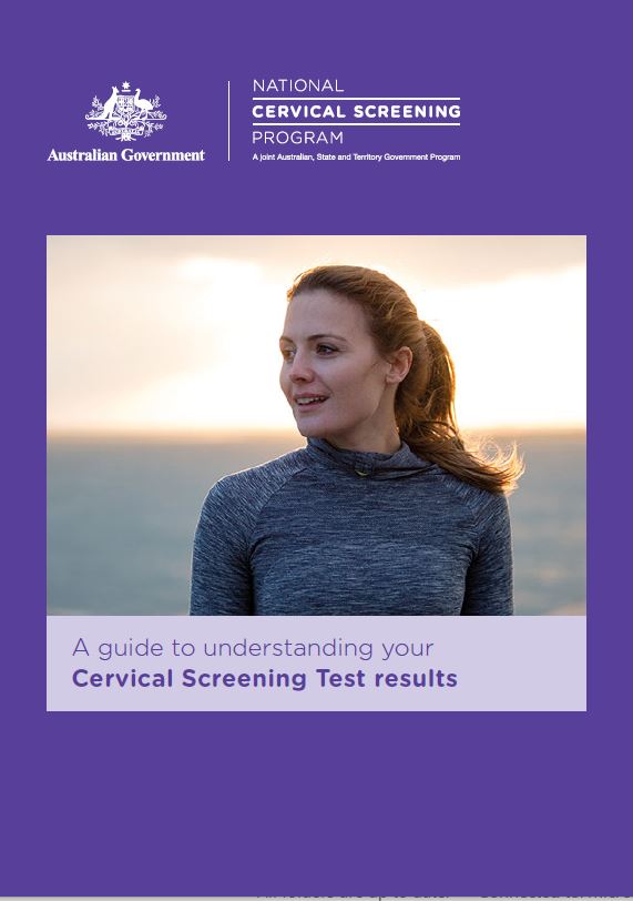
National Cervical Screening Program – A detailed guide to understanding your cervical screening test results
This brochure explains what the cervical screening test is and what your test results mean. It also explains what will happen if you get referred to a specialist. -
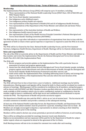
Implementation Plan Advisory Group (IPAG) – terms of reference
These terms of reference set out the roles and responsibilities of the Implementation Plan Advisory Group. -
National Cervical Screening Program – National Cancer Screening Register data access and release policy for researchers and external agencies
Find out how to request access to data from the National Cancer Screening Register for use in human research.