
Filter results
You can narrow down the results using the filters
Audience
Topics
Our work
Diseases
11934 results
-
AGPT Program Report on the 2018 Registrar Satisfaction Survey
Each year, we give medical registrars training under the Australian General Practitioner Training (AGPT) Program the chance to have their say. This report gives the national results of the 2018 Registrar Satisfaction Survey. -
Secondary school students’ use of tobacco, alcohol and other drugs in 2017
This report presents the results of the Australian Secondary Students’ Alcohol and Drug (ASSAD) survey. It includes statistics on the use of tobacco, alcohol, electronic cigarettes, over-the-counter drugs, and illicit drugs. -
Australia's National Action Plan for Health Security 2019–2023
This action plan outlines how Australia can strengthen our defences against serious public health threats. It is a response to the 2017 evaluation of Australia’s implementation of the International Health Regulations. -
Individual training requirement for yellow fever vaccination providers
This fact sheet outlines why the Yellow Fever Vaccination Course was introduced, who is required to complete it and how it can be accessed. -
British American Tobacco Australia – cigarette ingredients
A list of ingredients used in cigarettes produced by British American Tobacco Australia. -
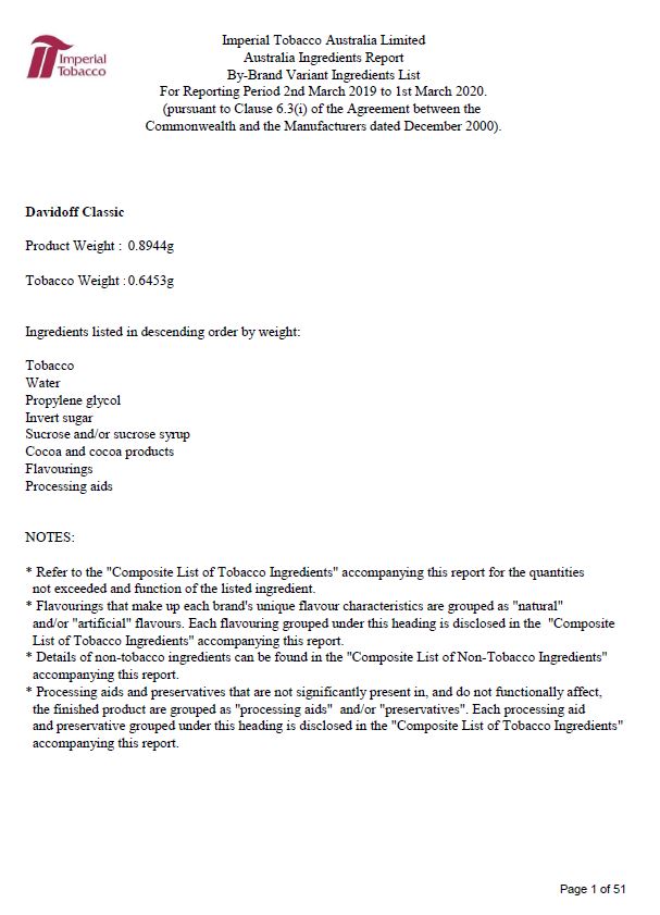
Imperial Tobacco Australia Ltd – cigarette ingredients
A list of ingredients used in cigarettes produced by Imperial Tobacco Australia. -
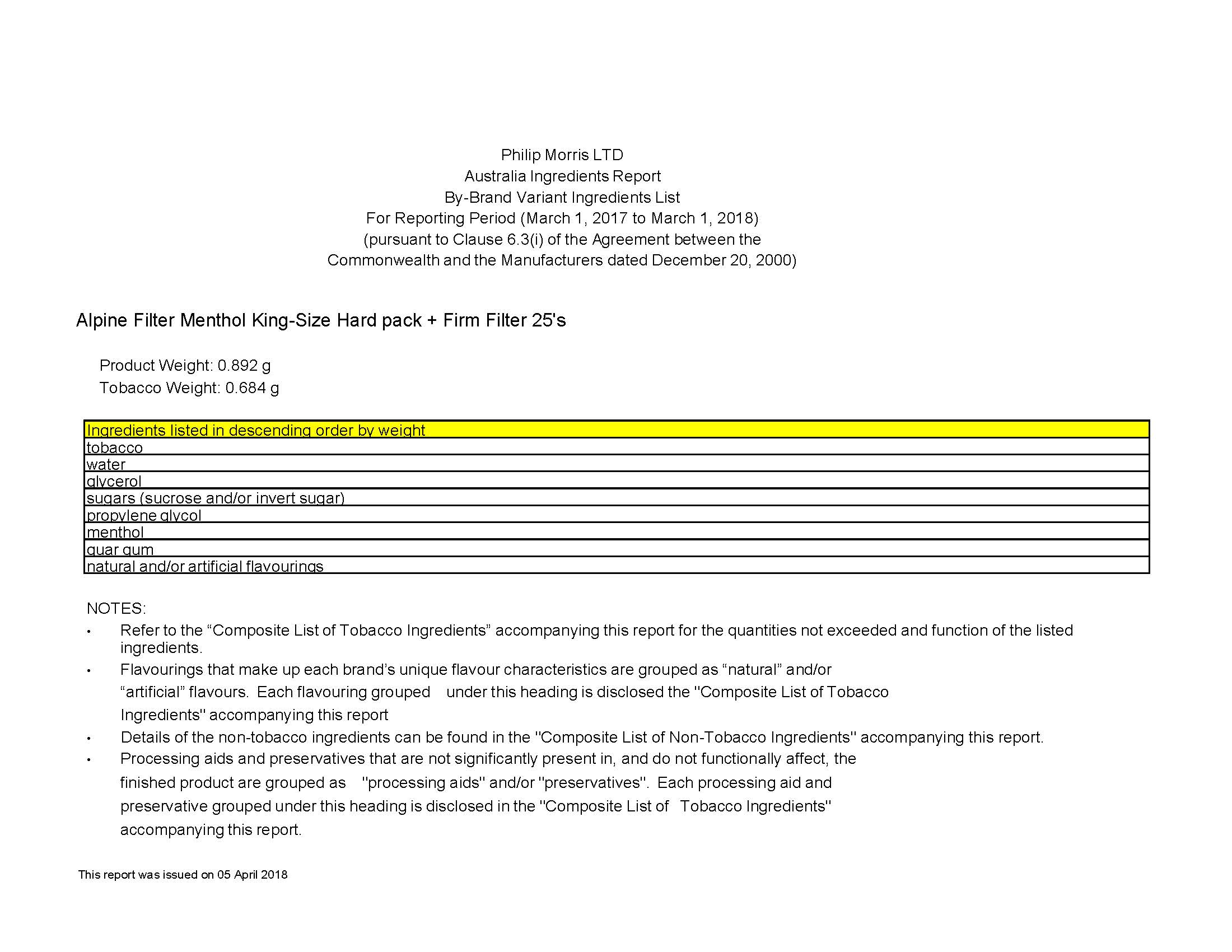
Philip Morris Ltd – cigarette ingredients
A list of ingredients used in cigarettes produced by Philip Morris Limited. -
Australian cigarette ingredient information
Ingredients used in cigarettes produced by British American Tobacco Australia, Imperial Tobacco Australia Ltd and Phillip Morris Ltd. -
The alternative pathway in your health centre – A manual for getting started
This manual is for Indigenous health services who participated in the National Bowel Cancer Screening Program's Indigenous bowel screening pilot. It explains how to set up the alternative pathway within your health service. -
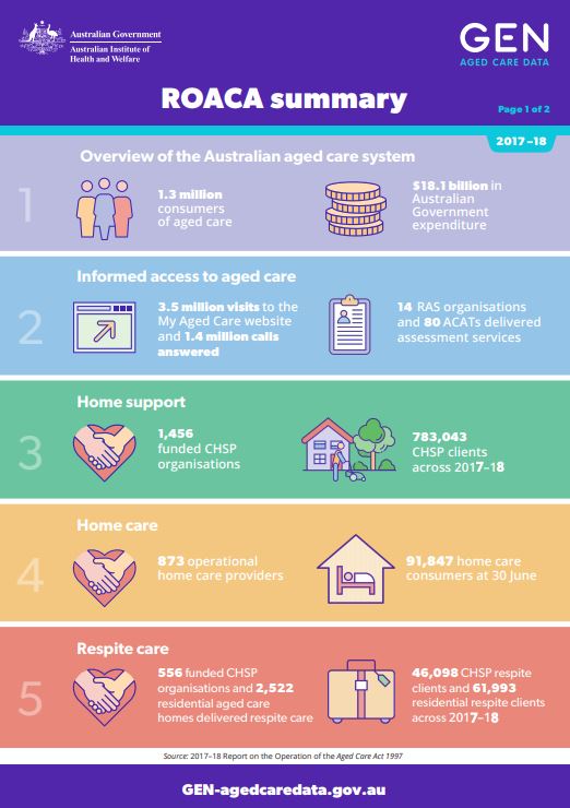
ROACA Summary 2017–18
This document provides key statistics from the 2017–18 report on the operation of the Aged Care Act 1997 (ROACA). It includes statistics for different types of care, the aged care workforce and quality and regulation. -
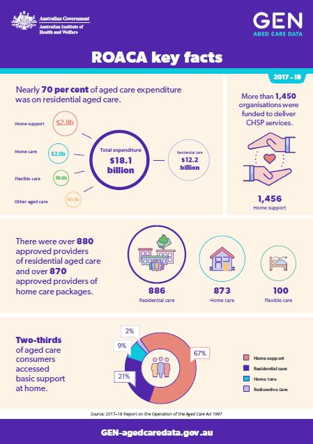
ROACA Key Facts 2017–18
These infographics highlight the key facts of the 2017–18 report on the operation of the Aged Care Act 1997 (ROACA). They include statistics on aged care providers, expenditure and types of aged care services. -
Emergency Response Plan for Communicable Disease Incidents of National Significance: National Arrangements (National CD Plan)
The National CD Plan outlines how agencies across Australian, state, territory and local governments will work together to protect Australia from the threat of a major communicable disease incident. -
2017–18 Report on the Operation of the Aged Care Act 1997 (ROACA)
This report describes the operation of the Aged Care Act 1997 in 2017–18. It also includes information about aged care programs and policies. -
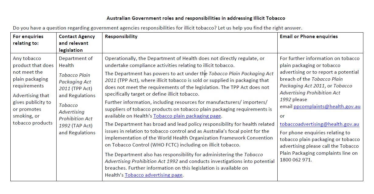
Illicit tobacco – Australian Government roles and responsibilities
This document outlines the Australian Government departments and other agencies that are involved in dealing with illegal tobacco products or packaging. -
National Fetal Alcohol Spectrum Disorder (FASD) Strategic Action Plan 2018–2028
This plan aims to reduce the incidence and impact of FASD in Australia. This will improve the quality of life for people living with FASD. The Plan identifies 4 national priorities and is for the period 2018 to 2028. -
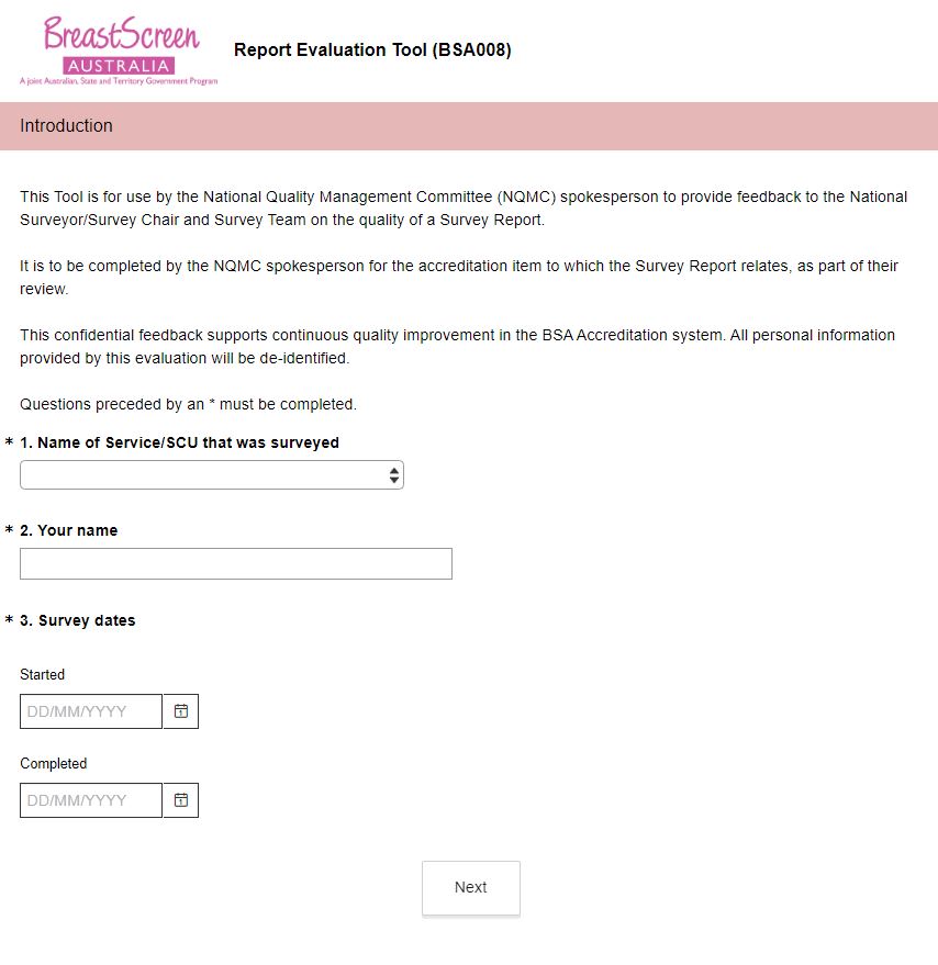
BreastScreen Australia – Report evaluation tool (BSA008)
This online survey is to be used by National Quality Management Committee (NQMC) members to provide feedback on the survey report. -
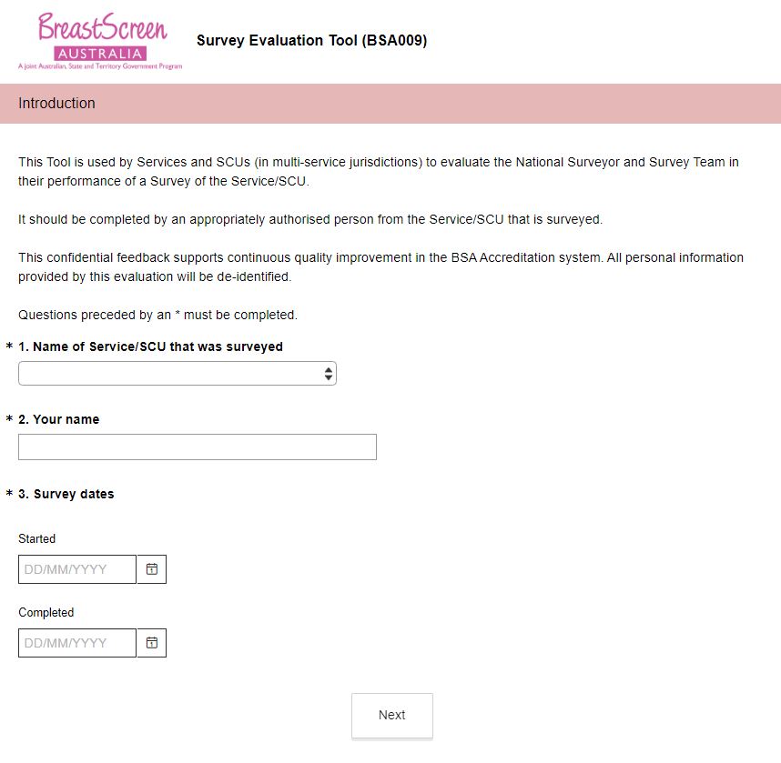
BreastScreen Australia – Survey evaluation tool (BSA009)
This online survey is to be used by a Service undergoing an accreditation survey to evaluate the conduct of the accreditation survey. -
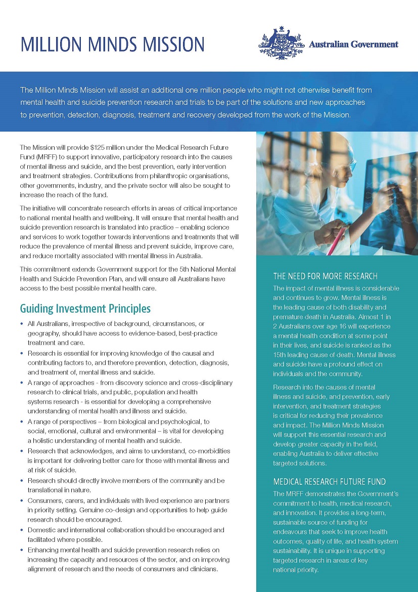
The Million Minds Mission Roadmap
This was the first roadmap for the Medical Research Future Fund’s (MRFF) Million Minds Mental Health Research Mission (the Mission). -
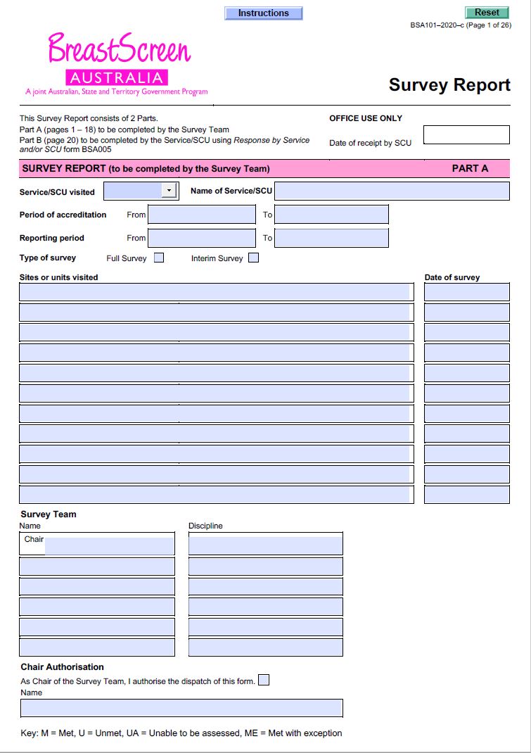
BreastScreen Australia – Survey report (BSA101)
BreastScreen Australia services and State Coordination Units (SCUs) use this form for its assessment of the Service against the National Accreditation Standards, and to record the findings of the accreditation survey. -
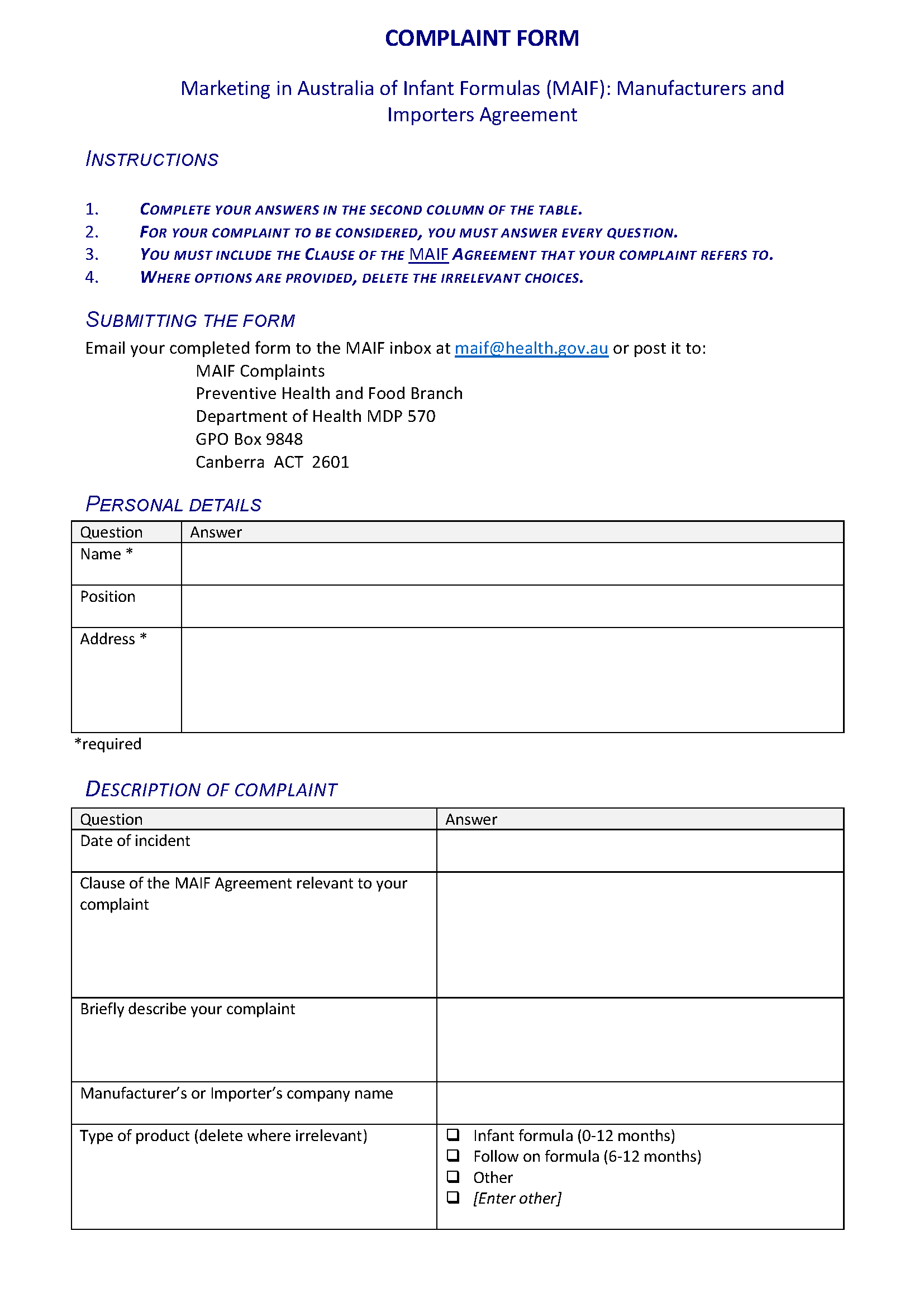
Marketing in Australia of Infant Formula (MAIF) Agreement complaint form
Use this form to lodge complaints about alleged breaches of the MAIF Agreement. -
Red tape – effect of red tape on health services
Australian Government response to Senate Select Committee interim report: Red tape – effect of red tape on health services
-
Funding for research into cancers with low survival rates
Australian Government response to the Senate Select Committee Inquiry report: Funding for research into cancers with low survival rates
-
Greater Choice for At Home Palliative Care
This summary lists the 11 Primary Heath Networks involved in the measure and an overview of their activity. -
ACFA Report on How Consumers Plan and Finance Aged Care
This 2018 report by the Aged Care Financing Authority (ACFA) looks at how people finance and pay for their aged care costs. It provides advice on how we can better support these important decisions. -
Domestic Health Response Plan for Chemical, Biological, Radiological or Nuclear Incidents of National Significance (CBRN Plan)
The CBRN Plan outlines how we will effectively coordinate a national health response to chemical, biological, radiological or nuclear (CBRN) incidents of national significance. It also covers recovery arrangements.