Filter results
You can narrow down the results using the filters
Audience
Publication type
Topics
Our work
Diseases
9584 results
-
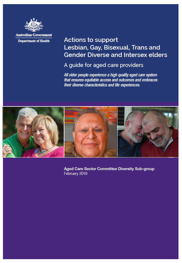
Actions to Support LGBTI Elders: a Guide for Aged Care Providers
This action plan sets out what aged care providers can do to deliver more inclusive services to lesbian, gay, bisexual, trans and gender diverse, and intersex (LGBTI) elders. -
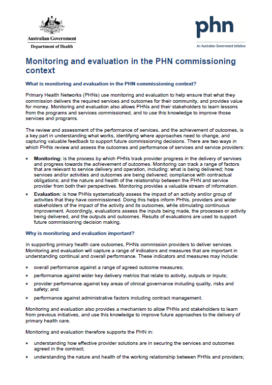
Primary Health Networks (PHNs) – commissioning information sheet – monitoring and evaluation
This information sheet outlines the monitoring and evaluation process for Primary Health Networks (PHNs). -
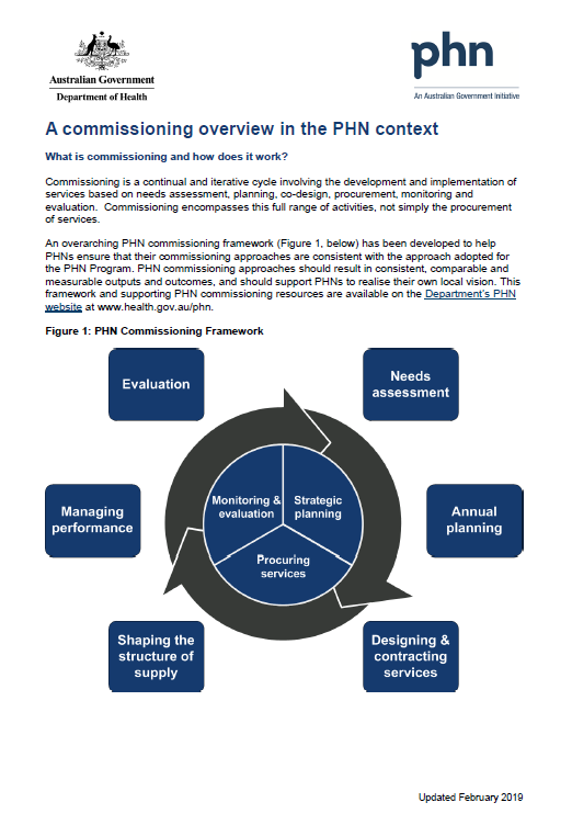
Primary Health Networks (PHNs) – commissioning information sheet – overview
This information sheet provides an overview of the commissioning process for Primary Health Networks (PHNs). -
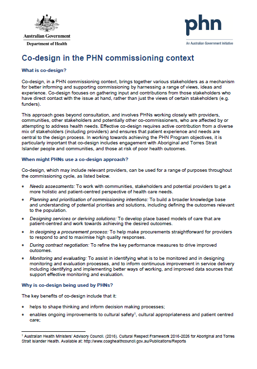
Primary Health Networks (PHNs) – commissioning information sheet – co-design
This information sheet explains what co-design means and how it works for Primary Health Networks (PHNs). -
Primary Health Networks (PHNs) – commissioning information sheet – procurement approaches
This information sheet explains what procurement is and why it’s important in a commissioning context for Primary Health Networks (PHNs). -
Primary Health Networks (PHNs) – commissioning information sheet – markets
This information sheet helps Primary Health Networks (PHNs) understand, influence, support, develop and work collaboratively with markets. -
National Strategic Action Plan for Childhood Heart Disease
The National Strategic Action Plan for Childhood Heart Disease (CHD) aims to reduce the impact of this condition in Australia. It outlines priority areas and actions to help people with CHD live longer, healthier and more productive lives. -
National Strategic Action Plan for Lung Conditions
The National Strategic Action Plan for Lung Conditions outlines an evidence-based approach to reducing the burden of lung conditions in Australia. -
Resource Utilisation and Classification Study (RUCS) Reports
RUCS was a national study that looked into the needs, costs and classification of residential aged care. The RUCS reports describe the key parts of the study including a proposed new assessment and funding model called Australian National Aged Care Classification (AN-ACC). -
Healthy ageing: developmental research report
We commissioned a market research study into healthy ageing, identifying how we can help encourage Australians to make the most of their later years. -
Primary Health Network (PHN) conflicts and related party policy
This policy describes how to manage conflicts and related party transactions across the Primary Health Network (PHN) Program. -
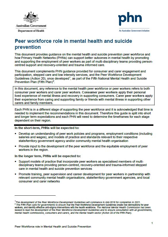
Primary Health Networks (PHN) mental health care guidance – peer workforce role in mental health and suicide prevention
This document provides guidance on the mental health and suicide prevention peer workforce, and how Primary Health Networks (PHNs) can support the employment of peer workers as part of multi-disciplinary teams, for better mental health care. -
NDS 2010–2020 Second Progress Report to the Council of Australian Governments 2016
The 2016 Progress Report was the second progress report under the National Disability Strategy 2010–2020. -
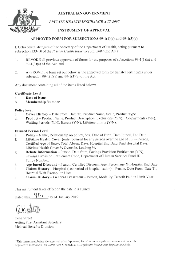
PHI 03/19 attachment – Instrument of approval for the new approved form for transfer certificate
This attachment to PHI circular 03/19 is the signed instrument of approval for the new approved form for transfer certificate. -
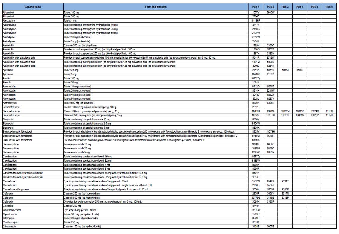
High-volume Pharmaceutical Benefits Scheme (PBS) medicine list 2018–19
This document provides a list of PBS medicines often prescribed, including form and strength, as well as PBS codes, for Community Service Obligation (CSO) for Pharmaceutical Wholesalers funding pool stakeholders for 2018–19. -
Final clinical committee report for Pain Management
This report contains the recommendations the Pain Management Clinical Committee made to the MBS Review Taskforce, after public consultation. -
Final report from the Aboriginal and Torres Strait Islander Health Reference Group
This report contains the recommendations the Aboriginal and Torres Strait Islander Health Reference Group made to the MBS Review Taskforce, after public consultation. -
Final report from the Allied Health Reference Group
This report contains the recommendations the Allied Health Reference Group made to the MBS Review Taskforce, after public consultation. -
Final report from the Cleft Dental Services Working Group
This report contains the recommendations the Cleft Dental Services Working Group made to the MBS Review Taskforce, after public consultation. -
Final report from the Nurse Practitioner Reference Group
This report contains the recommendations the Nurse Practitioner Reference Group made to the MBS Review Taskforce, after public consultation. -
Final report from the Participating Midwives Reference Group
This report contains the recommendations the Participating Midwives Reference Group made to the MBS Review Taskforce, after public consultation. -
Final report from the Mental Health Reference Group
This report contains the recommendations the Mental Health Reference Group made to the MBS Review Taskforce, after public consultation. -
Final clinical committee report for Colorectal Surgery
This report contains the recommendations the Colorectal Surgery Clinical Committee made to the MBS Review Taskforce, after public consultation. -
The science of mitochondrial donation and related matters
Australian Government response to the Senate Community Affairs References Committee Inquiry into the science of mitochondrial donation and related matters -
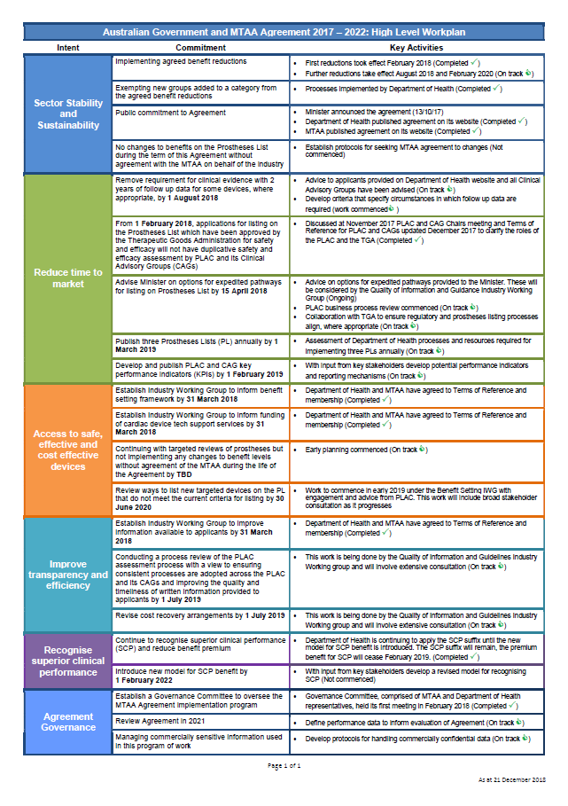
Australian Government and the Medical Technology Association of Australia (MTAA) Agreement: High Level Workplan
This workplan describes the work the Government intends to do under the Australian Government and MTAA Agreement (2017 to 2022).