SA2s are from the Australian Bureau of Statistics Australian Statistical Geography Standard (ASGS) 2011.
SA Aged Care Planning Regions 2015 determination
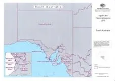
SA overview map
Eyre Peninsula map
Hills, Mallee and Southern map
Metropolitan East map
Metropolitan North map
Metropolitan South map
Metropolitan West map
Mid North map
Riverland map
South East map
Flinders and Far North map
Yorke, Lower North and Barossa map
About this resource
Publication date:
Publication type:
Dataset
Language:
English
Part of a collection: