Filter results
You can narrow down the results using the filters
Audience
Topics
Our work
Diseases
11744 results
-
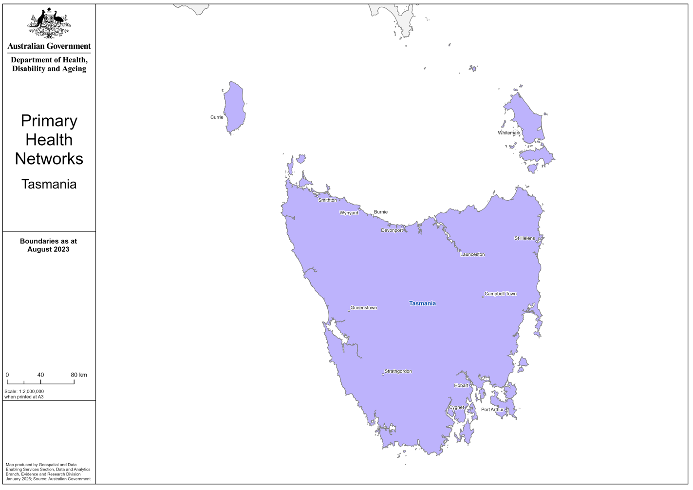
Tasmania Primary Health Networks (PHN) boundary map
This map shows the boundaries for the Tasmania Health Network (PHN). -
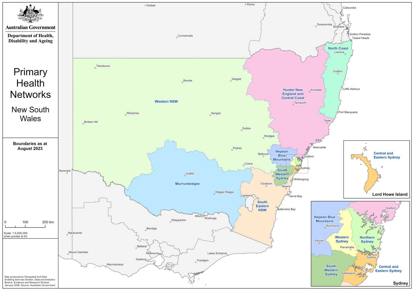
New South Wales Primary Health Networks (PHN) boundary maps
These maps show the boundaries for New South Wales Primary Health Networks (PHNs) across the whole state and in more detail in metropolitan areas only. -
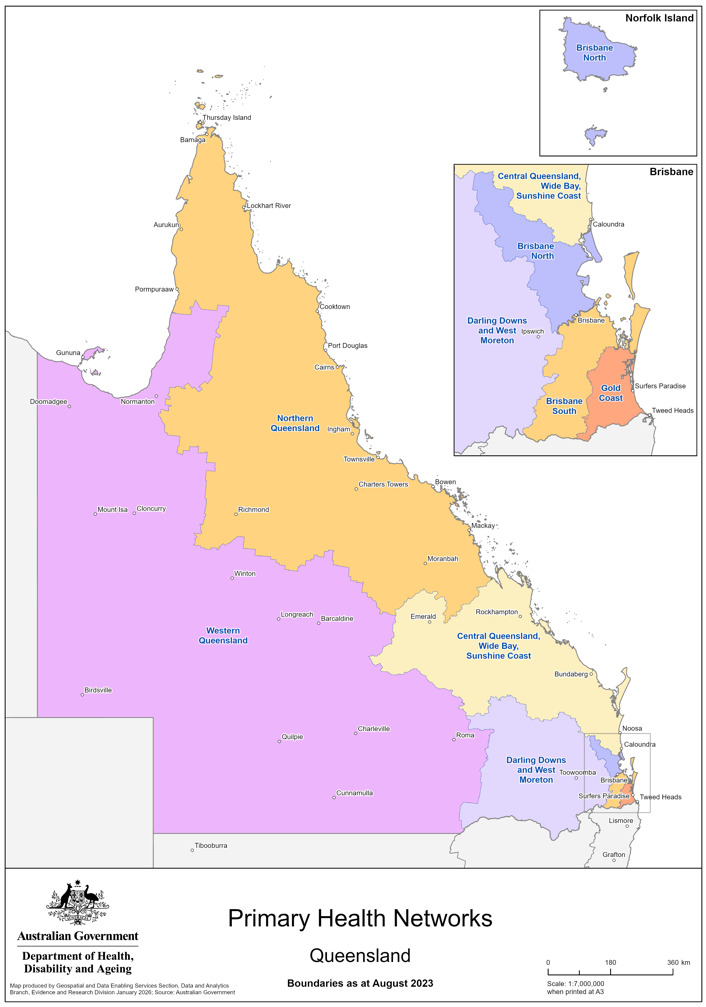
Queensland Primary Health Networks (PHN) boundary maps
These maps show the boundaries for Queensland Primary Health Networks (PHNs) across the whole state and in more detail in metropolitan areas only. -

Victoria Primary Health Networks (PHN) boundary maps
These maps show the boundaries for Victoria Primary Health Networks (PHNs) across the whole state and in more detail in metropolitan areas only. -
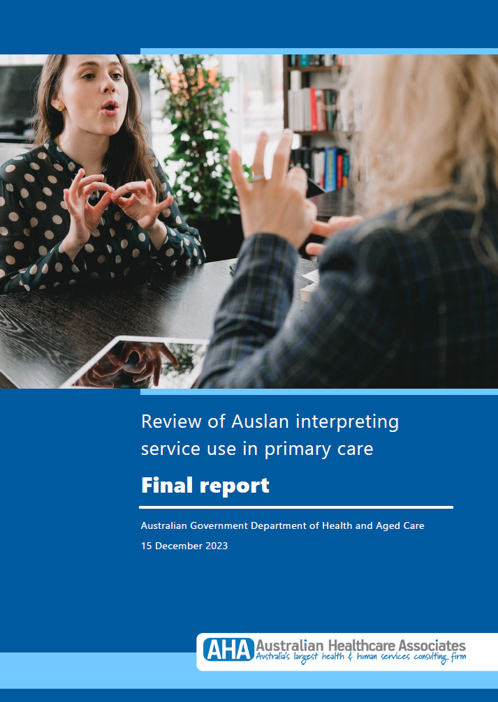
Review of Auslan interpreting service use in primary care
A report on the Review of Auslan interpreting service use in Australian primary care settings. It includes information about barriers, enablers, resources and recommendations to improve access to Auslan interpreting services. -
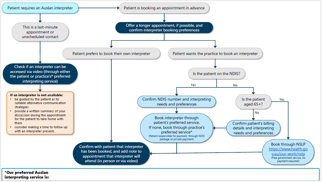
Auslan interpreter booking flow-chart for primary care providers
These flowcharts are designed to help primary care providers identify whether and how they should book an Auslan interpreter. -
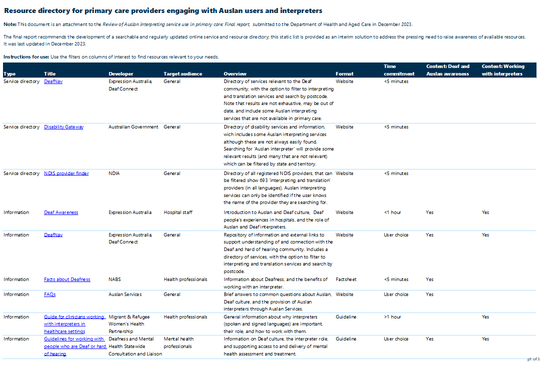
Resource directory for primary care providers engaging with Auslan users and interpreters
This document is an attachment to the Review of Auslan interpreting service use in primary care. -

Review of Auslan interpreting service use in primary care report and resources
The Review of Auslan interpreting service use in primary care recommends ways to improve primary care provider’s Deaf awareness and ability to work with Auslan interpreters. The report included associated resources for primary care providers. -
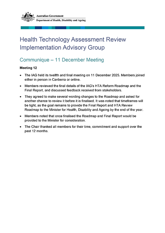
HTA Review Implementation Advisory Group communique – 11 December 2025
This communique summarises the meeting of the Health Technology Assessment (HTA) Review Implementation Advisory Group held on 11 December 2025. -
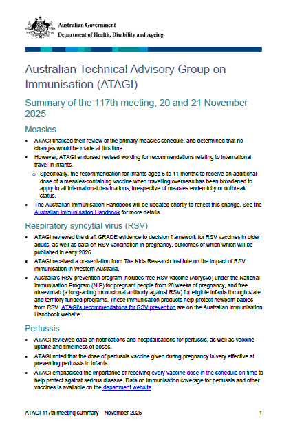
ATAGI 117th meeting bulletin – 20 and 21 November 2025
This document provides an overview of the discussion from the 117th Meeting of the Australian Technical Advisory Group on Immunisation (ATAGI). -
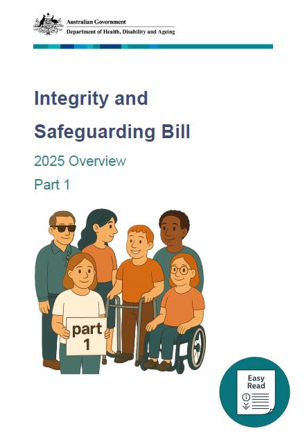
NDIS Integrity and Safeguarding Bill – Easy Read
This Integrity and Safeguarding Bill will make changes to the National Disability Insurance Scheme Act 2013 (NDIS Act). It will support the NDIS Quality and Safeguards Commission (NDIS Commission) and the National Disability Insurance Agency (NDIA). -
 15:46
15:46NDIS Amendment (Integrity and Safeguarding) Bill 2025 – Overview – Auslan video
An Auslan translation of the NDIS Amendment (Integrity and Safeguarding) Bill 2025 – Overview document
-

Gifts and benefits standing disclosure for airline memberships – October 2025
This report details gifts and benefits standing disclosure for airline memberships – October 2025. -
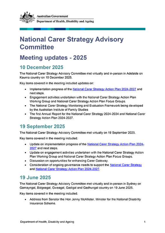
National Carer Strategy Advisory Committee meeting updates – 2025
Meeting updates from the National Carer Strategy Advisory Committee for 2025. -
Bulk Billing Practice Incentive Program: register or update details on the healthdirect National Health Services Directory
Practices participating in the Bulk Billing Practice Incentive Program are required to advertise as a bulk billing only practice on Healthdirect Australia’s National Health Services Directory (NHSD). These resources are designed to assist practices to register or update their details on the NHSD. -

Flexible Payment System application form
Doctors use this form to apply for a payment under the Flexible Payment System of the Workforce Incentive Program - Doctor Stream. -
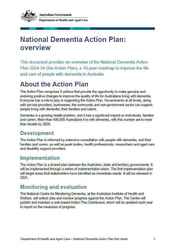
National Dementia Action Plan Overview
An overview of the National Dementia Action Plan 2024–2034, including a summary and 8 high-level actions. -

24/7 Registered Nurse and Care Minutes Reporting Assurance Activities– model pack
This excel document aims to help guide aged care providers when submitting information and documents for 24/7 Registered Nurse and Care Minutes Reporting Assurance Activities. It contains examples of calculations and workings for information and documents commonly requested. -

Pharmacy Programs Cost Effectiveness Review – Final Report
This report was commissioned by the Department of Health, Disability and Ageing to support program efficiency and cost effectiveness of the 17 Program previously funded by 7CPA and separated from the 8CPA to enable their review and management.
-
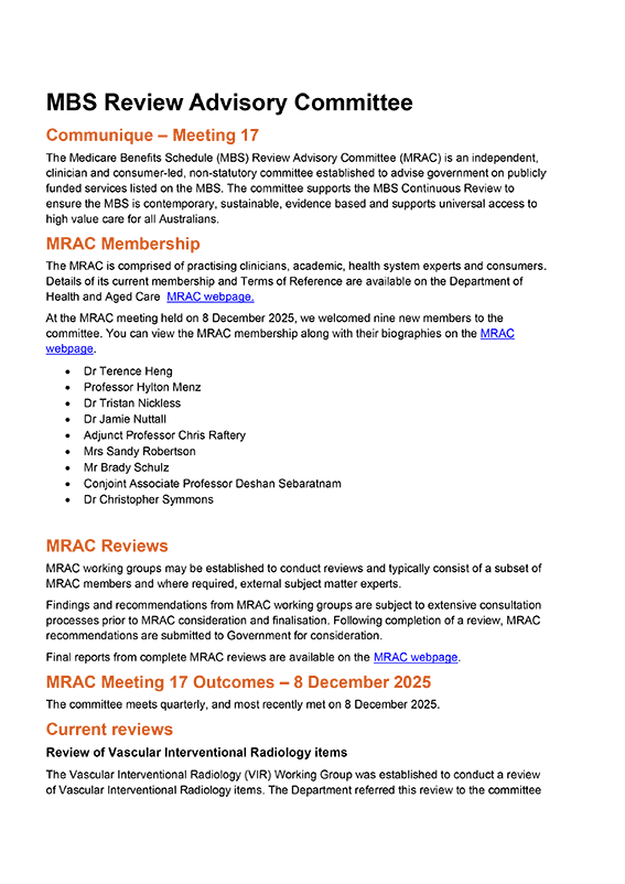
MBS Review Advisory Committee communique – December 2025
This communique is published following each meeting of the MBS Review Advisory Committee (MRAC). It summarises the meeting outcomes, progress on current reviews and advice about upcoming reviews. -
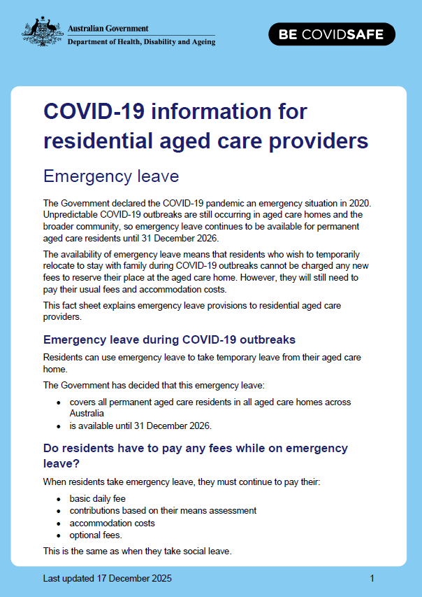
COVID-19 – information for residential aged care providers – emergency leave
Unpredictable COVID-19 outbreaks are still occurring in aged care homes and the broader community, so emergency leave continues to be available for permanent aged care residents until 31 December 2026. This fact sheet explains COVID-19 emergency leave provisions to providers. -

COVID-19 outbreaks in Australian residential aged care facilities – 2025
This weekly report provides a snapshot of data on the impact of COVID-19 in residential aged care facilities nationally in 2025. It includes data on the number of services impacted and number of staff and resident cases, as well as workforce, vaccine rollout, testing and PPE provided to services. -

COVID-19 outbreaks in Australian residential aged care homes – 19 December 2025
This weekly report provides a snapshot of data on the impact of COVID-19 in residential aged care facilities nationally in 2025. It includes data on the number of services impacted and number of staff and resident cases, as well as workforce, vaccine rollout, testing and PPE provided to services. -

COVID-19 – information for permanent aged care residents – emergency leave
Unpredictable COVID-19 outbreaks are still occurring in aged care homes and the broader community, so emergency leave continues to be available for permanent aged care residents until 31 December 2026. This fact sheet explains COVID-19 emergency leave provisions for residents. -
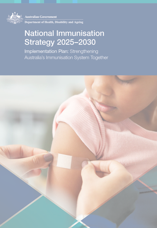
National Immunisation Strategy (2025-2030) Implementation Plan
The National Immunisation Strategy Implementation Plan 2025–2030 outlines governance frameworks and actions to improve vaccine access, equity, trust, data use, workforce capability, and technology. It aims to protect Australians from vaccine-preventable diseases and support healthier lives.