Filter results
You can narrow down the results using the filters
Audience
Topics
Our work
Diseases
11794 results
-

Stoma Product Assessment Panel – ConvaTec public summary documents – May 2025
This public summary document outlines Stoma Product Assessment Panel recommendations, after assessing products for the Stoma Appliance Scheme Schedule in May 2025. -
Stoma Product Assessment Panel – Omnigon public summary documents – May 2025
This public summary document outlines Stoma Product Assessment Panel recommendations, after assessing products for the Stoma Appliance Scheme Schedule in May 2025. -

Stoma Product Assessment Panel – Hollister public summary documents – May 2025
This public summary document outlines Stoma Product Assessment Panel recommendations, after assessing products for the Stoma Appliance Scheme Schedule in May 2025. -

Stoma Product Assessment Panel – NicePak public summary documents – May 2025
This public summary document outlines Stoma Product Assessment Panel recommendations, after assessing products for the Stoma Appliance Scheme Schedule in May 2025. -

Stoma Product Assessment Panel – Dansac public summary documents – May 2025
This public summary document outlines Stoma Product Assessment Panel recommendations, after assessing products for the Stoma Appliance Scheme Schedule in May 2025. -

Stoma Product Assessment Panel public summary documents – May meeting 2025
This collection lists documents that summarise recommendations that the Stoma Product Assessment Panel has made after assessing products for the Stoma Appliance Scheme Schedule in May 2025. -
 0:17
0:17Harmful chemicals – First Nations animation
A 17-second animation to share on your social channels to encourage yarning about the harmful chemicals in vapes. -
 0:17
0:17Long-term effects – First Nations animation
A 17-second animation to share on your social channels to encourage yarning about how vaping can make you real sick. -
 0:06
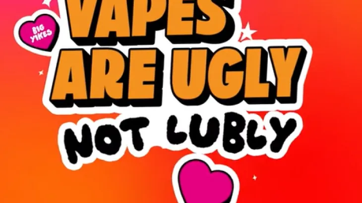
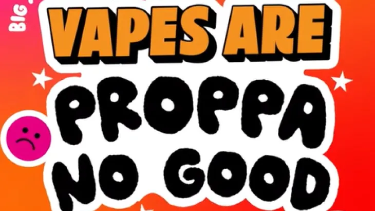
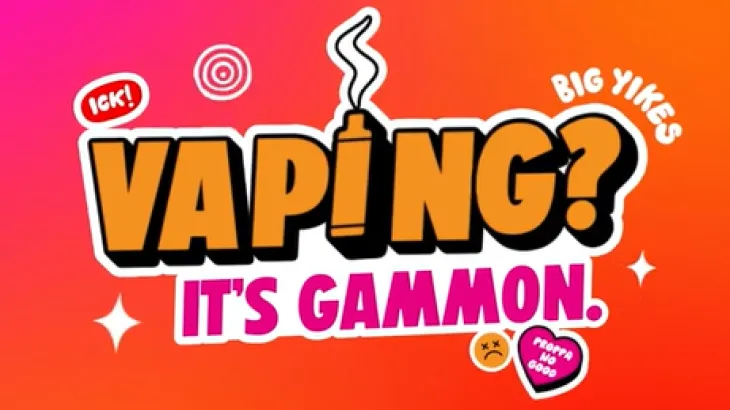
0:06Vaping? It’s gammon – First Nations animation
A 6-second animation to share on your social channels to encourage yarning about how vaping is gammon. -
 0:17
0:17Nicotine addiction – First Nations animation
A 17-second animation to share on your social channels to encourage yarning about how vaping can be addictive. -
 0:17
0:17Healthier choice – First Nations animation
A 17-second animation to share on your social channels to encourage yarning about how vapes contain harmful chemicals. -
 0:24
0:24Environment – First Nations animation
A 24-second animation to share on your social channels to encourage yarning about how vapes are bad for the environment. -

Business to Government (B2G) Developer Portal User Guide
This Business to Government (B2G) User Guide aims to support software vendors and their developers to interact with us and to assist aged care providers with procuring software to leverage the B2G capability. -
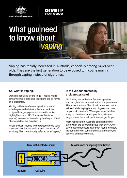
Youth vaping fact sheet for parents and carers
This fact sheet provides useful information on the harmful effects vaping may be having on your child or young person you care about. -

New Arrangements for Aged Care from 1 November 2025 – Residential Care
Residential aged care providers must give this fact sheet to current or prospective residents who are considering opting in to the 1 November 2025 fee arrangements. It explains how opting in works, and how it affects fees and accommodation costs. -

Allied Health Industry Reference Group – Summary of outcomes – 2 December 2025
This publication provides key information from the 16th meeting of the Allied Health Industry Reference Group, which was open to all allied health professional associations. The publication includes major topics that were covered, points of discussion, and actions that the Department has agreed to. -

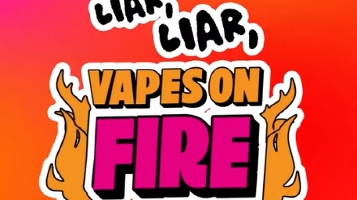
Give up for good – social media tile
Social media tile to support quitting smoking and vaping. -

Vaping – social media tile (version 1)
Social media tile to support quitting vaping. -

Vaping – social media tile (version 3)
Social media tile to support quitting vaping. -

Vaping – social media tile (version 2)
Social media tile to support quitting vaping. -

Smoking – social media tile (version 4)
Social media tile to support quitting smoking. -

Smoking – social media tile (version 2)
Social media tile to support quitting smoking. -

Smoking – social media tile (version 1)
Social media tile to support quitting smoking. -

Smoking – social media tile (version 3)
Social media tile to support quitting smoking. -
Certification statement – National Tobacco and E-cigarette campaign (Phase 2)
This certification statement, signed by Secretary Blair Comley on 16 December 2025, certifies that the National Tobacco and E-cigarette campaign (Phase 2) complies with relevant guidelines and policies.