Filter results
You can narrow down the results using the filters
Audience
Topics
Our work
Diseases
11321 results
-
Emergency Medicine – Australia’s Future Health Workforce report
This report presents long-term, national workforce projections for emergency medicine doctors to 2030. It is part of our series on Australia’s Future Health Workforce. -

Action plan – Enhanced response to addressing sexually transmissible infections (and bloodborne viruses) in Indigenous populations
The plan supports the national response to the disproportionately high rates of sexually transmitted infections and bloodborne viruses in Aboriginal and Torres Strait Islander peoples. -
National Health Genomics Policy Framework 2018–2021
Genomics has the potential to improve the health of all Australians by helping doctors prevent, diagnose, treat and monitor diseases. This framework provides a nationally consistent approach to policy, regulatory and investment decisions about integrating genomics into our health system. -
ANACAD summary of activities 2016–17
An overview of activities by the Australian National Advisory Council on Alcohol and Other Drugs (ANACAD) from 1 July 2016 to 30 June 2017. -
National Bowel Cancer Screening Program policies
The National Bowel Cancer Screening Program is supported by a number of frameworks and strategies. They guide how the program is delivered and make sure that high standards are maintained and best practice followed. -
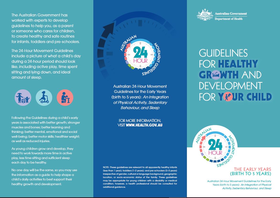
24-hour movement guidelines – birth to 5 years – brochure
Being active is important for babies and young children to be healthy, and sets good habits for life. This brochure outlines how much activity small children should do each day, how sitting time and screen time should be avoided or limited and how much sleep they should get. -
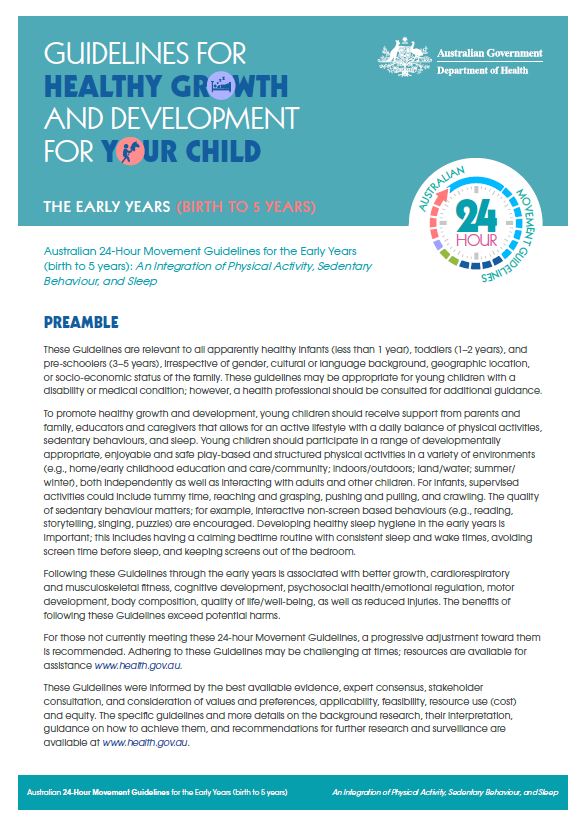
24-hour movement guidelines – birth to 5 years – fact sheet
Being active is important for babies and young children to be healthy, and sets good habits for life. Read about how much activity small children should do each day, how sitting time and screen time should be avoided or limited, and how much sleep they should get. -
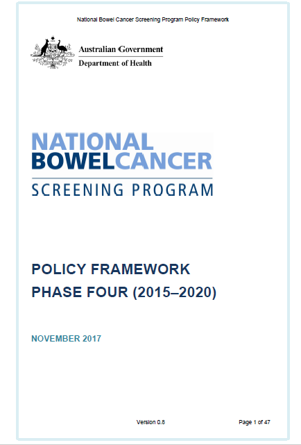
National Bowel Cancer Screening Program – Policy Framework
This framework supports the National Bowel Cancer Screening Program. It outlines best practices in implementing the Program, the screening process itself and how the Program will be managed and reviewed. -
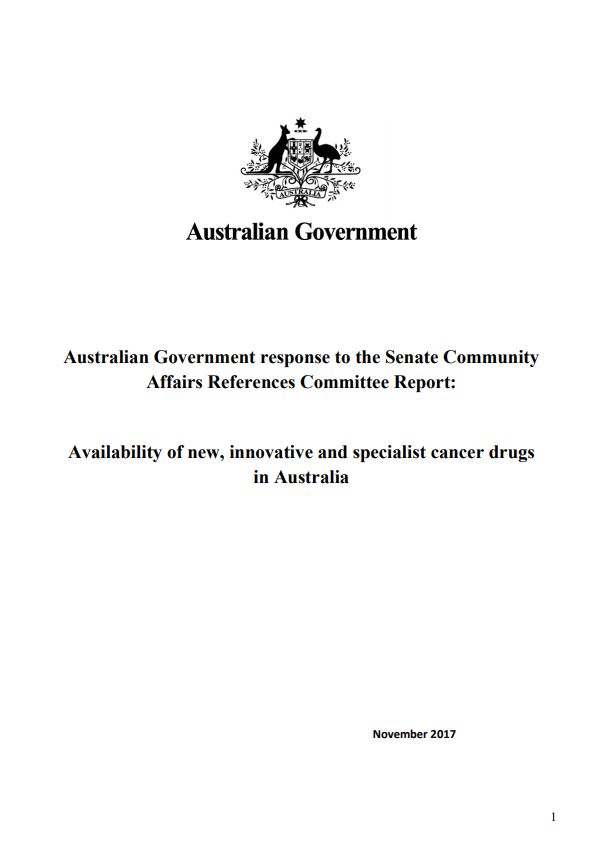
Availability of new, innovative and specialist cancer drugs in Australia
Australian Government response to the Senate Community Affairs References Committee Report: Availability of new, innovative and specialist cancer drugs in Australia -
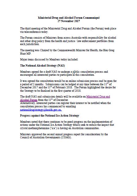
MDAF communique – 27 November 2017
A summary of the major items discussed at the third MDAF meeting. -
Australian National Breastfeeding Strategy – Report on stakeholder consultations, October 2017
This report summarises the finding from consultations held in April and May 2017 to inform the development of an enduring National Breastfeeding Strategy. -

Childhood immunisation coverage data (PHN and SA3)
The full set of childhood immunisation coverage data from 2015 onwards for Primary Health Network (PHN) and Statistical Areas Level 3 (SA3). -
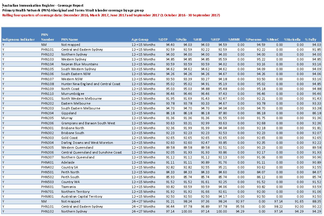
2017 PHN childhood immunisation coverage data
These spreadsheets provide 2017 childhood immunisation coverage data by Primary Health Network (PHN), for all children and Aboriginal and Torres Strait Islander children. -
Review of National Aged Care Quality Regulatory Processes Report
This report presents the findings of the 2017 independent review of aged care regulatory processes. It includes 10 recommended actions to improve the regulation of quality in aged care. -
Use of Fine Needle Aspiration in BreastScreen Australia Services
This clinical advice from the BreastScreen Australia (BSA) reviews the use of fine needle aspiration in screening services. -

Taskforce findings – Urgent after-hours primary care services funded through the MBS
This document summarises the Medicare Benefits Schedule (MBS) Review Taskforce’s recommendations in response to the After-Hours Working Group's report. -
Taskforce final report – Urgent after-hours primary care services funded through the MBS
This report contains the Medicare Benefits Schedule (MBS) Review Taskforce's findings and recommendations to the Australian Government on its review of urgent after-hours primary care services funded through the MBS. -
Caring for Older People in Warmer Weather
These resources are for providers of residential aged care, home care and the Commonwealth Home Support Programme. They are checklists to help people working in aged care to prepare for and manage services during a heatwave. -
Literature review of international biosimilar medicines update – March to May 2017
This reports updates a literature review that looked at international and Australian clinical, academic and policy journals, as well as media articles or sources in relation to biosimilar medicines, to help inform policy development and communication activities. It covers March to May 2017. -

Department of Health Annual Report 2016–17
This report describes how we have improved Australia's health and aged care system in the financial year ending 30 June 2017. It includes details of our operations, our budget, our governance and our performance. -
Agreement between the Government and the Medical Technology Association of Australia
This agreement with the Medical Technology Association of Australia (MTAA) supports sponsors and suppliers of medical devices. It runs from 15 October 2017 to 31 January 2022. -
The use of Vacuum Assisted Core Biopsy (VACB)
This clinical advice from the BreastScreen Australia (BSA) reviews the use of vacuum assisted core biopsy (VACB) in screening services. -
National Cervical Screening Program – fact sheet for pathologists
Find out why pathologists need to notify the National Cancer Screening Register about cervical screening tests, and how to notify. -
National Cervical Screening Program – fact sheet for colposcopists
Find out why colposcopists need to notify the National Cancer Screening Register about colposcopies under the National Cervical Screening Program, and how to notify. -
Australian Government response to Joint Standing Committee on the NDIS report – Accommodation for people with disabilities and the NDIS
The Joint Standing Committee on the National Disability Insurance Scheme report: Accommodation for people with disabilities and the National Disability Insurance Scheme was developed as part of the Committee’s review of the implementation, administration and expenditure of the NDIS.