Filter results
You can narrow down the results using the filters
Audience
Topics
Our work
Diseases
11412 results
-
MDAF communique – 29 May 2017
A summary of the major items discussed at the second MDAF meeting. -
Report from the Pathology Clinical Committee (Tissue (Anatomical) Pathology/Cytology)
This report contains the recommendations the Pathology Clinical Committee made to the MBS Review Taskforce about tissue (anatomical) pathology/cytology items, after public consultation. -

Perfluorinated chemicals in food – consolidated report
This report from Food Standards Australia New Zealand (FSANZ) includes health based guidance values for site investigations in Australia, a dietary exposure assessment and risk management advice for authorities investigating per- and polyfluoroalkyl substances (PFAS) contamination. -
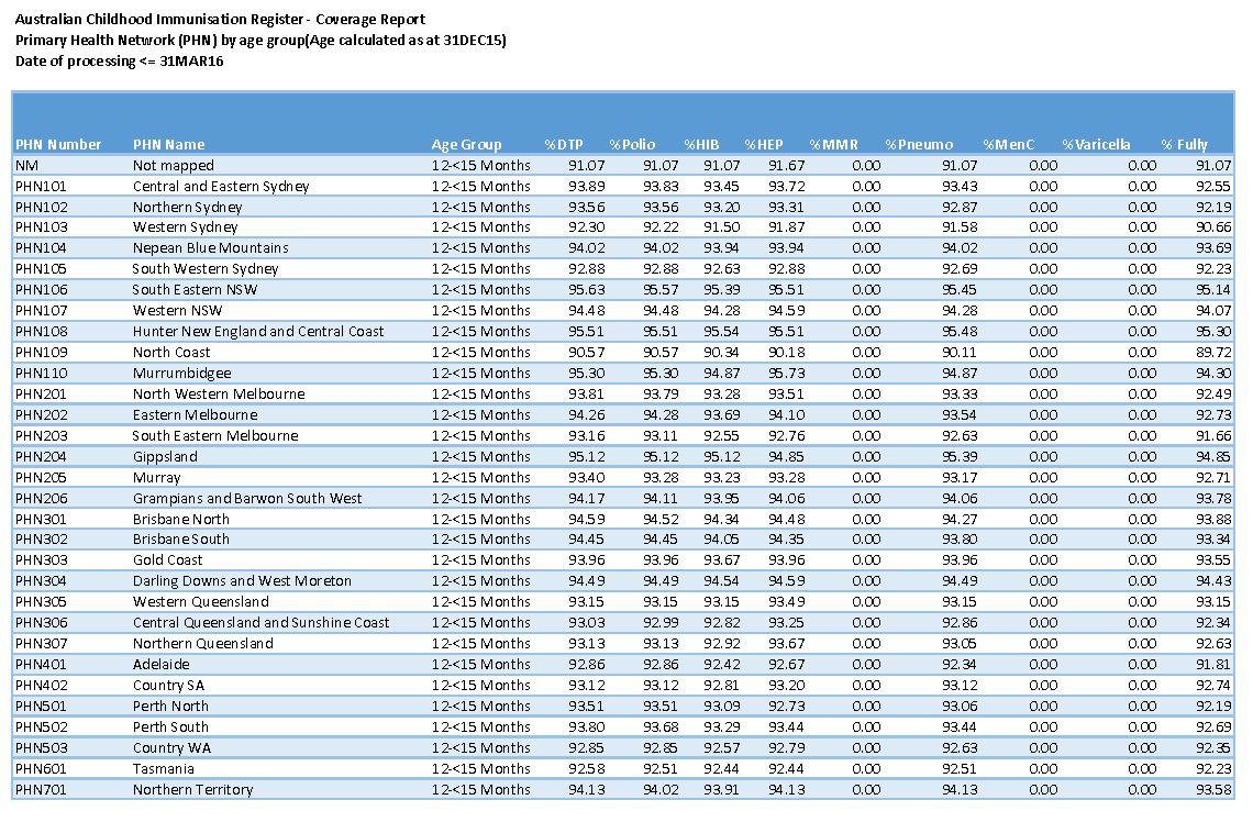
2016 PHN childhood immunisation coverage data
These spreadsheets provide 2016 quarterly childhood immunisation coverage data by Primary Health Network (PHN), for all children and Aboriginal and Torres Strait Islander children. -
Literature review of international biosimilar medicines update – September to December 2016
This reports updates a literature review that looked at international and Australian clinical, academic and policy journals, as well as media articles or sources in relation to biosimilar medicines, to help inform policy development and communication activities. It covers September to December 2016. -
Administrative record keeping guidelines for health professionals
The Administrative Record Keeping Guidelines provides useful information and tools that support good administrative record keeping within your practice. -
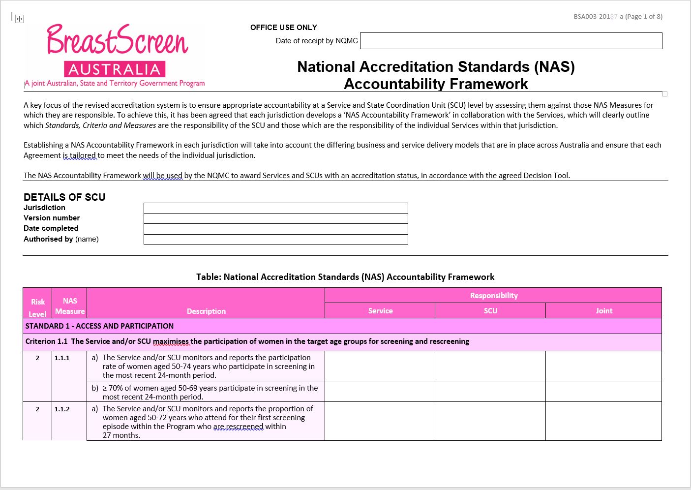
BreastScreen Australia – National Accreditation Standards (NAS) accountability framework (BSA003)
BreastScreen Australia services and State Coordination Units (SCUs) use this form to identify which NAS measures they are responsible for as part of the accreditation process. -
Report from the General Practice and Primary Care Clinical Committee – Phase 1
This interim report provided the MBS Review Taskforce with a progress update on the work of the General Practice and Primary Care Clinical Committee, as at April 2017. -
Biosimilar medicines – The basics for consumers and carers
This brochure provides information for consumers and carers about biosimilar medicines, including what they are, who uses them, why they’re important, and how we regulate them. -
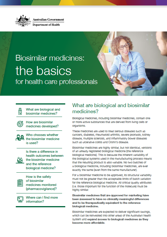
Biosimilar medicines – The basics for healthcare professionals
This brochure provides information for healthcare professionals about biosimilar medicines, including what they are, how they are developed, whether they differ from biological medicines, and how we monitor their safety. -
Legislated Review of Aged Care 2017 Report
This report presents the findings of the 2017 independent review of the Living Longer Living Better reforms. It includes 38 recommended actions to further improve the aged care system. -
Annual Report of the Marketing in Australia of Infant Formula Tribunal 2015–2016
2015–2016 Annual Report of the Marketing in Australia of Infant Formula -
BreastScreen Australia NQMC – DGMA framework
This document outlines a framework for the Data Governance and Management Assessments (DGMA) that apply under the BreastScreen Australia Accreditation System. -
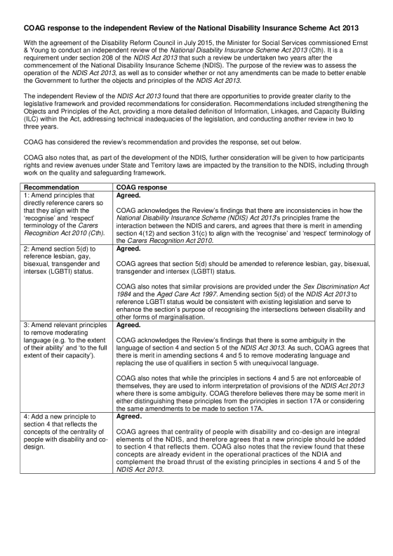
COAG response to the independent Review of the National Disability Insurance Scheme Act 2013
In July 2015, the Australian Government (in consultation with State and Territory governments) commissioned Ernst & Young (EY) to conduct an independent review of the National Disability Insurance Scheme Act 2013 (Cth) (NDIS Act). -
Review of the implementation of the national reform agenda on organ and tissue donation and transplantation
Australian Government response to the Ernst & Young report: Review of the implementation of the national reform agenda on organ and tissue donation and transplantation -
Review of the Specialist Training Program and the Emergency Medicine Program – final report
This report outlines the results of a review of the Specialist Training Program and Emergency Medicine Program. The review looked at the programs' operation and how training posts were allocated. It resulted in several reform proposals. -
Australian National Breastfeeding Strategy 2010–2015 – final progress report
This report outlines the progress that has been made across the 10 action areas for the Australian National Breastfeeding Strategy 2010–2015. -
2010 implementation plan for the Australian National Breastfeeding Strategy 2010–2015
This plan outlines the staged approach to the implementation of the Australian National Breastfeeding Strategy 2010–2015. -
ANACAD summary of activities 2015–16
An overview of activities by the Australian National Advisory Council on Alcohol and Other Drugs (ANACAD) from December 2014 to 30 June 2016. -
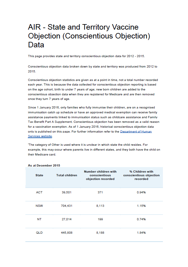
State and territory vaccine objection (conscientious objection) data
These documents provide conscientious objection data by state and territory for 2012 to 2015. The data is sourced from the Australian Immunisation Register (AIR). -
Medicare billing assurance toolkit – strategies to minimise risk
There are 10 strategies you should adopt in your practice to identify, manage and prevent the risk of incorrect billing under Medicare. -
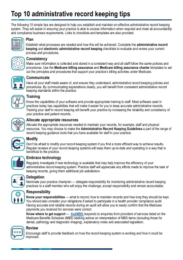
Medicare billing assurance toolkit
A toolkit of checklists, templates and suggestions to make it easier for you to manage risks that inadvertently cause incorrect billing under Medicare. -
An evaluation of the Young Carer Bursary Program – Final report
This report documents the findings of the Young Carer Bursary Program (YCBP) evaluation and their implications. It is intended that this report will aid the identification of positive outcomes achieved by the YCBP as well as any opportunities for improvement. -
An evaluation of the Young Carer Bursary Program – Summary report
This report summarises the findings and implications of the full report on the evaluation of the Young Carer Bursary Program (YCBP). -
Alternative Aged Care Assessment, Classification System and Funding Models Report
This report provides options and recommendations to help design future residential aged care funding models.