Filter results
You can narrow down the results using the filters
Audience
Topics
Our work
Diseases
11321 results
-

Final clinical committee report for Intensive Care and Emergency Medicine
This report contains the recommendations the Intensive Care and Emergency Medicine Clinical Committee made to the MBS Review Taskforce, after public consultation. -
Final clinical committee report for Diagnostic Imaging – Breast Imaging
This report contains the recommendations the Diagnostic Imaging Clinical Committee – Breast Imaging made to the MBS Review Taskforce, after public consultation. -
Final clinical committee report for Diagnostic Imaging – Nuclear Medicine
This report contains the recommendations the Diagnostic Imaging Clinical Committee – Nuclear Medicine made to the MBS Review Taskforce, after public consultation. -

Final clinical committee report for Diagnostic Imaging
This report contains the recommendations the Diagnostic Imaging Clinical Committee made to the MBS Review Taskforce, after public consultation. -
Final clinical committee report for Diagnostic Medicine
This report contains the recommendations the Diagnostic Medicine Clinical Committee made to the MBS Review Taskforce, after public consultation. -
Final clinical committee report for Gynaecology
This report contains the recommendations the Gynaecology Clinical Committee made to the MBS Review Taskforce, after public consultation. -
Final clinical committee report for Neurosurgery and Neurology
This report contains the recommendations the Neurosurgery and Neurology Clinical Committee made to the MBS Review Taskforce, after public consultation. -
Final clinical committee report for Optometry Services
This report contains the recommendations the Optometry Services Clinical Committee made to the MBS Review Taskforce, after public consultation. -
Final clinical committee report for Urology
This report contains the recommendations the Urology Clinical Committee made to the MBS Review Taskforce, after public consultation. -
Final clinical committee report for Vascular Services
This report contains the recommendations the Vascular Clinical Committee made to the MBS Review Taskforce, after public consultation. -
Final report from the Eating Disorders Working Group
This report contains the recommendations the Eating Disorders Working Group made to the MBS Review Taskforce, after public consultation. -
Final clinical committee report for Thoracic Surgery
This report contains the recommendations the Thoracic Surgery Clinical Committee made to the MBS Review Taskforce, after public consultation. -
Final clinical committee report for Plastic and Reconstructive Surgery
This report contains the recommendations the Plastic and Reconstructive Surgery Clinical Committee made to the MBS Review Taskforce, after public consultation. -
Implementation plan for the Australian National Diabetes Strategy 2016–2020
This plan — Diabetes in Australia: Focus on the Future — outlines ways to implement the Government's Australian National Diabetes Strategy 2016–2020. -
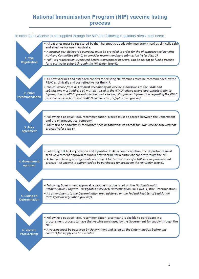
National Immunisation Program (NIP) vaccine listing process
The National Immunisation Program (NIP) vaccine listing process sets out the regulatory steps that must occur in order for a vaccine to be supplied through the NIP. -

National Immunisation Education Framework for Health Professionals
The National Immunisation Education Framework for Health Professionals assists in the development of nationally consistent, high quality immunisation education programs for Health Professionals. -
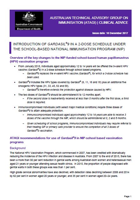
ATAGI advice: Gardasil®9 in the school-based NIP
Australian Technical Advisory Group on Immunisation (ATAGI) advice on the introduction of Gardasil®9 in a 2-dose schedule under the school-based National Immunisation Program (NIP). -
Deed for the provision of Overseas Student Health Cover 1 July 2016
This legal document sets out the conditions that registered Australian health funds must comply with to provide Overseas Student Health Cover (OSHC) policies. -
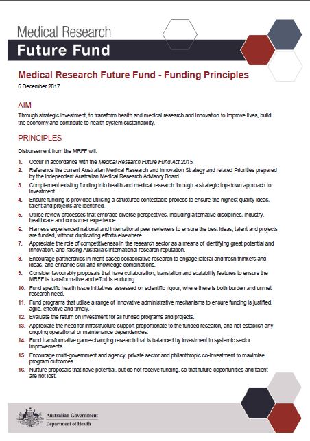
Medical Research Future Fund (MRFF) Funding Principles
The 16 MRFF funding principles will guide the allocation of MRFF research funding. All disbursements will occur in accordance with the MRFF Act 2015. -
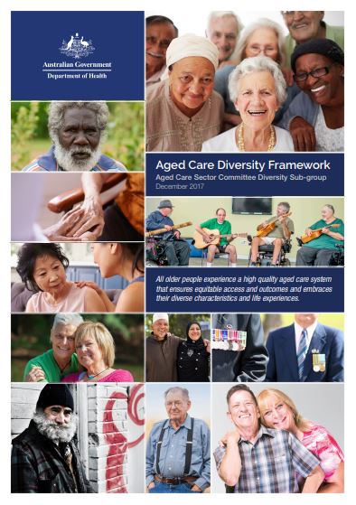
Aged Care Diversity Framework
This framework was launched in December 2017. It sets out the actions we can take to make sure aged care services meet the needs of people from diverse backgrounds. It sees a role for the Australian Government, peak organisations, representative groups, service providers, consumers and carers. -
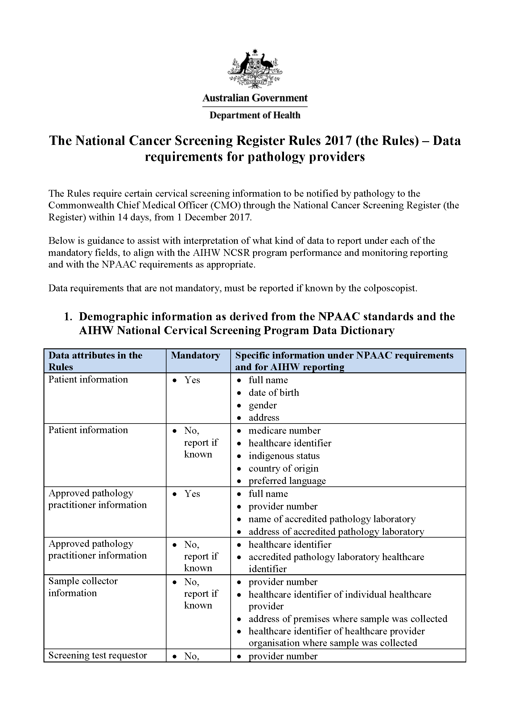
National Cervical Screening Program – data requirements for pathologists
Find out what information pathologists need to notify to the National Cancer Screening Register about cervical screening tests. -

Senate Select Committee on Health first interim report
Australian Government response to the Senate Select Committee on Health First Interim Report -
The prevalence of different types of speech, language and communication disorders and speech pathology services in Australia
Australian Government response to the Senate Community Affairs References Committee report: The prevalence of different types of speech, language and communication disorders and speech pathology services in Australia -
Thinking Ahead – Report on the Inquiry into Dementia: Early Diagnosis and Intervention
Australian Government response to the House of Representatives Standing Committee on Health and Ageing report Thinking Ahead – Report on the Inquiry into Dementia: early diagnosis and intervention -
Care and Management of Australians Living with Dementia
Australian Government response to the Senate Community Affairs References Committee report: Care and management of younger and older Australians living with dementia and behavioural and psychiatric symptoms of dementia (BPSD)