Filter results
You can narrow down the results using the filters
Audience
Publication type
Topics
Our work
Diseases
9561 results
-
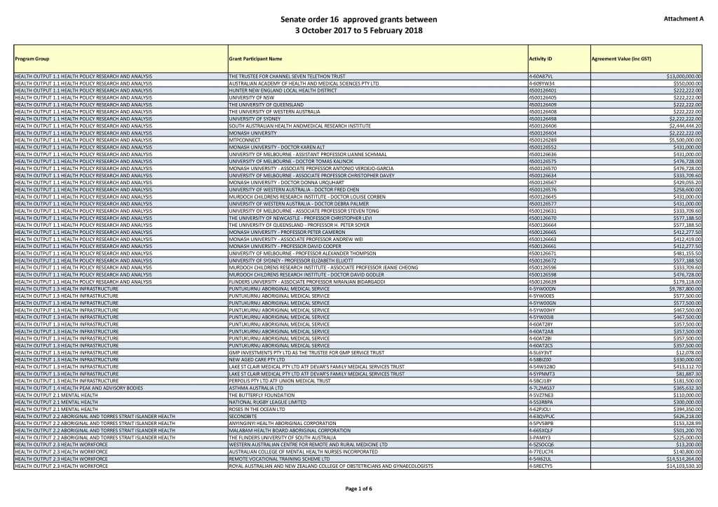
Departmental and agency approved grants (Senate Order 16 Listing)
We no longer publish data for the Senate Order 16 – Departmental and Agency Grants (Minchin Motion) on our website. To access grant data, see the description below. -
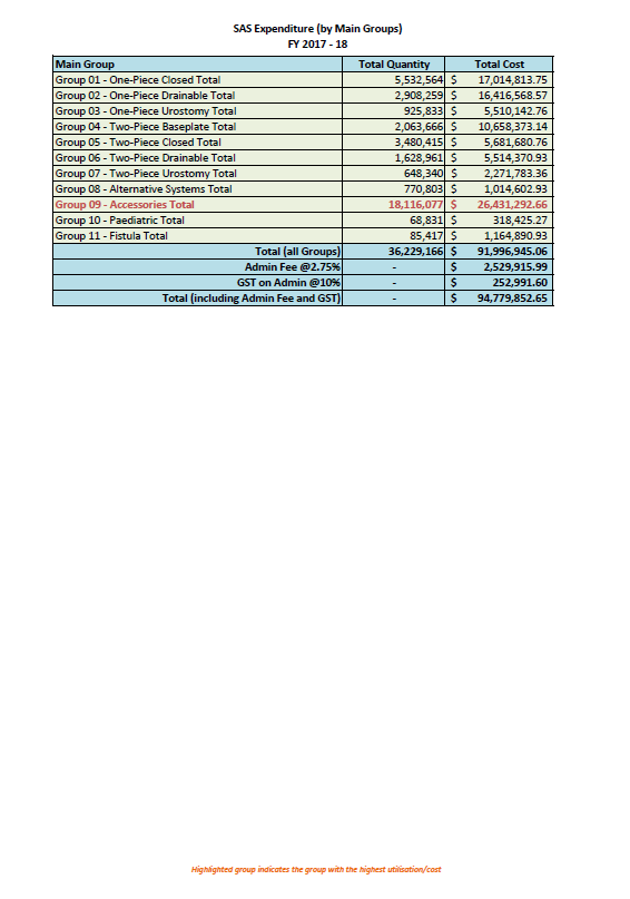
Stoma Appliance Scheme utilisation and expenditure data 2017–18
This document shows how much we spent in 2017–18 on stoma appliances and products under the Stoma Appliance Scheme. -
Evaluation of effectiveness of graphic health warnings on tobacco product packaging
This research report looked at the effectiveness of the current graphic health warnings on tobacco product packaging. -
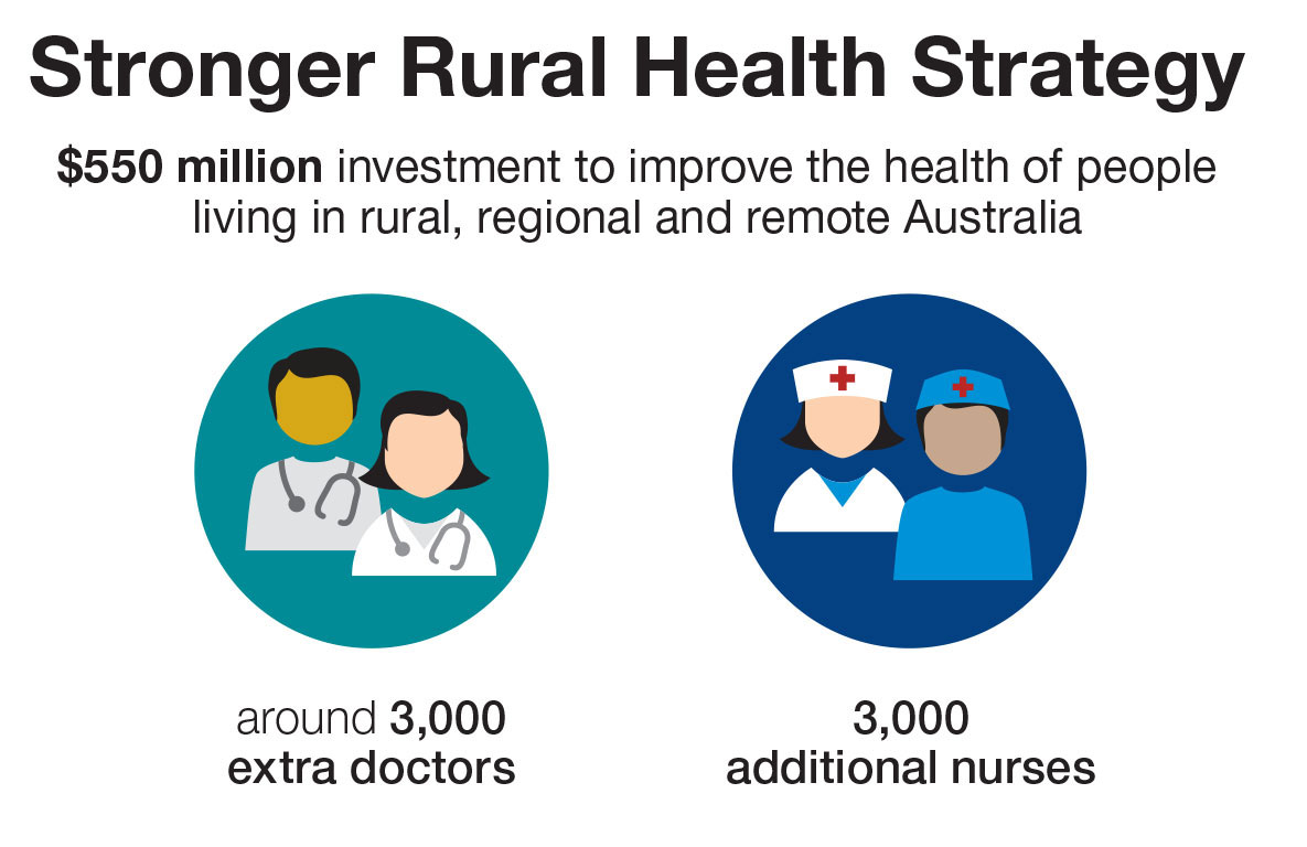
Strong Rural Health Strategy
Infographic depicting number of additional doctors and nurses in rural, regional and remote Australia -
Population-based screening framework
This framework sets out the principles of screening programs for cancer and chronic diseases. It informs decision makers about the key issues to consider when deciding whether to introduce a screening program. -
Partners in Culturally Appropriate Care (PICAC) Program Evaluation Report
The evaluation considered the successes and challenges of PICAC from 2011 to 2018. It looked at what’s working, what’s not working and why. -
Questions about vaccination
This document provides answers to many common questions about vaccination. -
Taskforce-endorsed report – Cardiac Services Clinical Committee
This report includes recommendations from the Cardiac Services Clinical Committee, which the Medicare Benefits Schedule (MBS) Review Taskforce revised and endorsed following consultation with stakeholders. -
Obstetrics and Gynaecology – Australia’s Future Health Workforce report
This report contains detailed modelling on workforce supply, demand and training for the obstetrics and gynaecology profession. It is part of our series on Australia’s Future Health Workforce. -
Complaints mechanism administered under the Health Practitioner Regulation National Law
Australian Government response to the Senate Community Affairs References Committee report: Complaints mechanism administered under the Health Practitioner Regulation National Law
-
Diseases have no borders – report on the inquiry into health issues across international borders
Australian Government response to the House of Representatives Standing Committee on Health and Ageing report: Diseases have no borders – report on the inquiry into health issues across international borders -
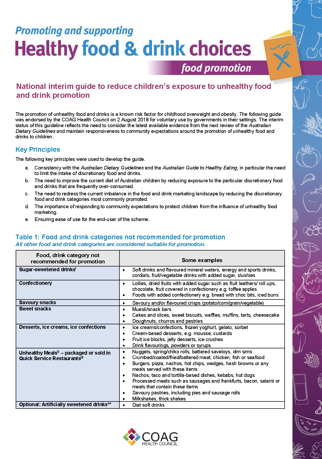
National interim guide to reduce children’s exposure to unhealthy food and drink promotion – 2018
This guide was endorsed by the Council of Australian Governments (COAG) Health Council in 2018 for voluntary use by governments in their settings. The guide outlines food and drink categories that are not recommended for promotion to children in government settings. -
National Action Plan for Endometriosis
This National Action Plan for Endometriosis acknowledges that endometriosis causes a substantial health burden in Australia. It sets goals and objectives to address this burden. -
Medical Research Future Fund (MRFF) public consultation slideshow
The Australian Medical Research Advisory Board used this presentation during public consultations when they were developing the MRFF Priorities for 2018–20. -
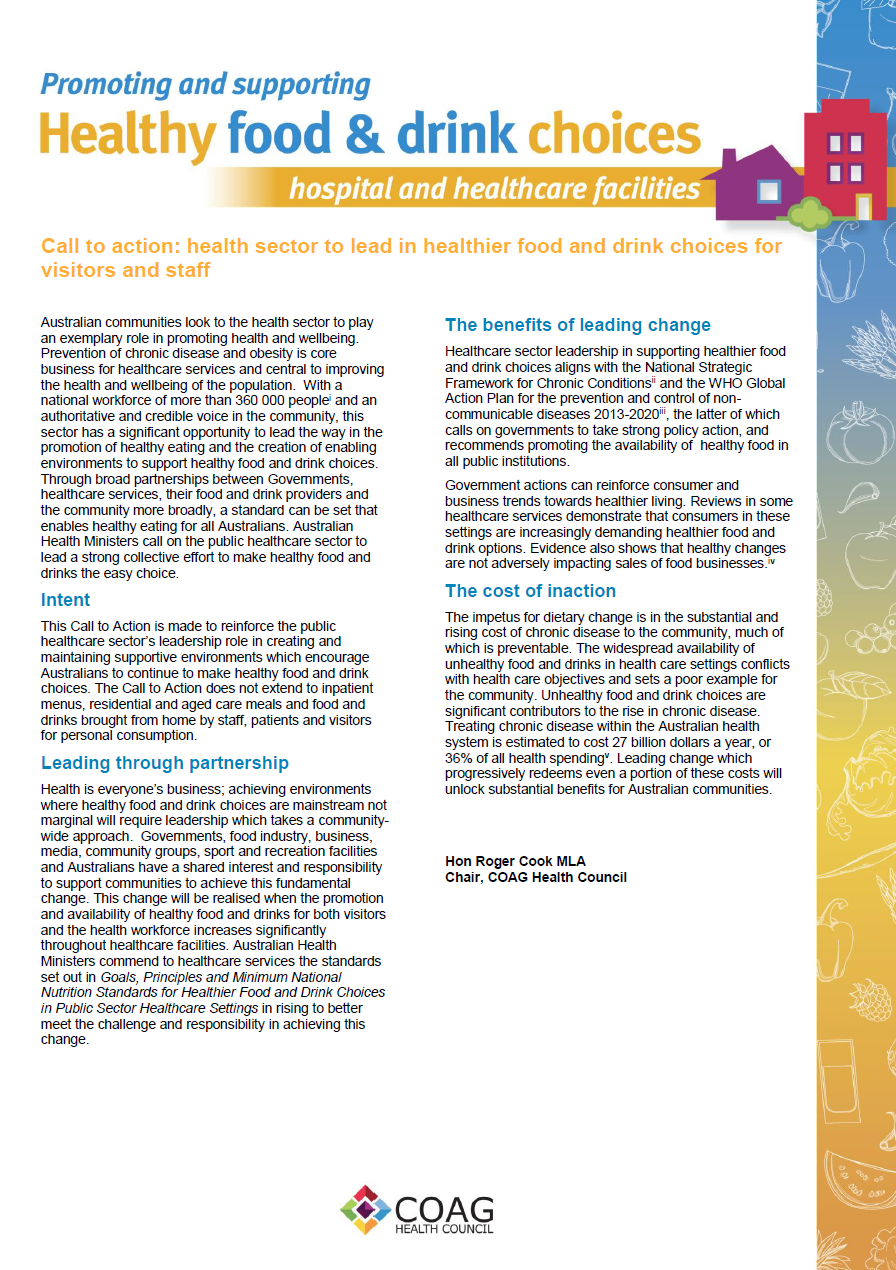
Call to action: health sector to lead in healthier food and drink choices for visitors and staff
This statement was originally created and published by the Council of Australian Governments (COAG) Health Council in 2018. It calls for the Australian health sector to help promote health and wellbeing. -
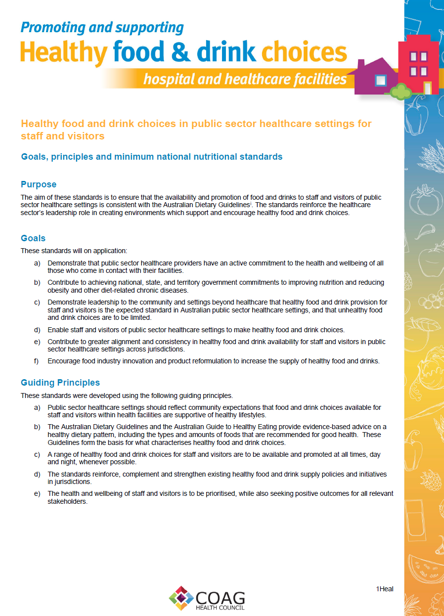
Healthy food and drink choices in public sector healthcare settings for staff and visitors
These standards were originally created and published by the Council of Australian Governments (COAG) Health Council in 2018. They reinforce the healthcare sector’s leadership role in creating environments which support and encourage healthy food and drink choices. -
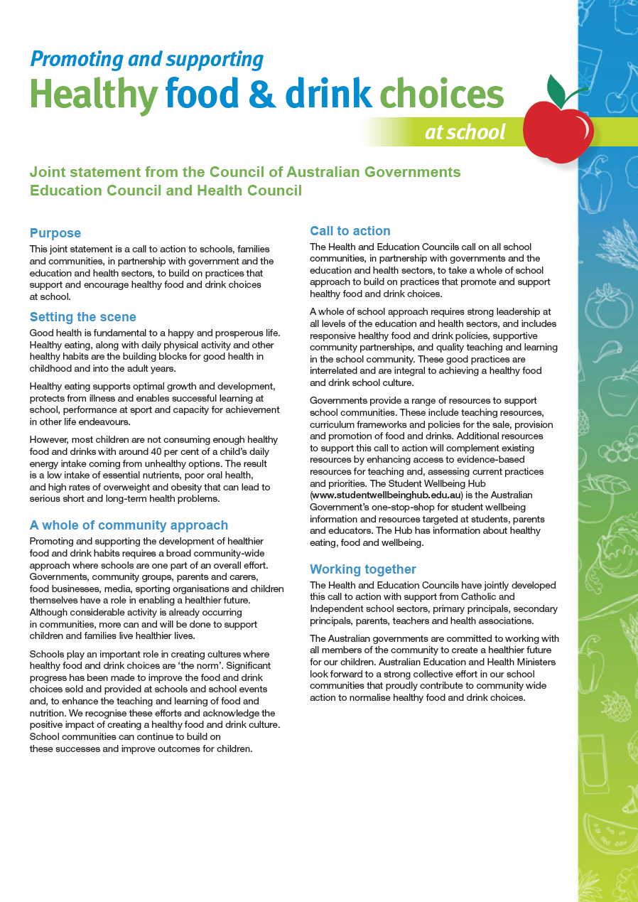
Promoting and supporting healthy food & drink choices at school
This statement was originally created and published by the Council of Australian Governments (COAG) Health Council in 2018. It encourages communities to build on practices that support and encourage healthy food and drink choices at school. -
Bonded Medical Places Scheme – Information booklet 2015
This booklet provides information about the Bonded Medical Places Scheme for participants who joined in 2015 or before, including eligibility and obligations, frequently asked questions, and contact details. -

MRFF 2018–20 priorities consultation discussion paper
The Australian Medical Research Advisory Board used this discussion paper as part of its consultation process when developing the 2018–20 MRFF priorities. -
Ophthalmology – Australia’s Future Health Workforce report
This report presents long-term, national workforce projections for ophthalmologists to 2030. It is part of our series on Australia’s Future Health Workforce. -
Literature review of international biosimilar medicines update – March to May 2018
This reports updates a literature review that looked at international and Australian clinical, academic and policy journals, as well as media articles or sources in relation to biosimilar medicines, to help inform policy development and communication activities. It covers March to May 2018. -
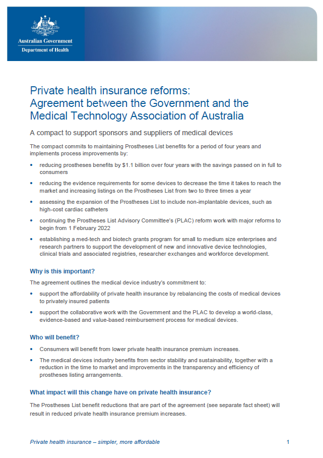
Private Health Insurance Reforms fact sheet: Agreement between the Government and the MTAA
This fact sheet explains the agreement between the Australian Government and the Medical Technology Association of Australia (MTAA). -
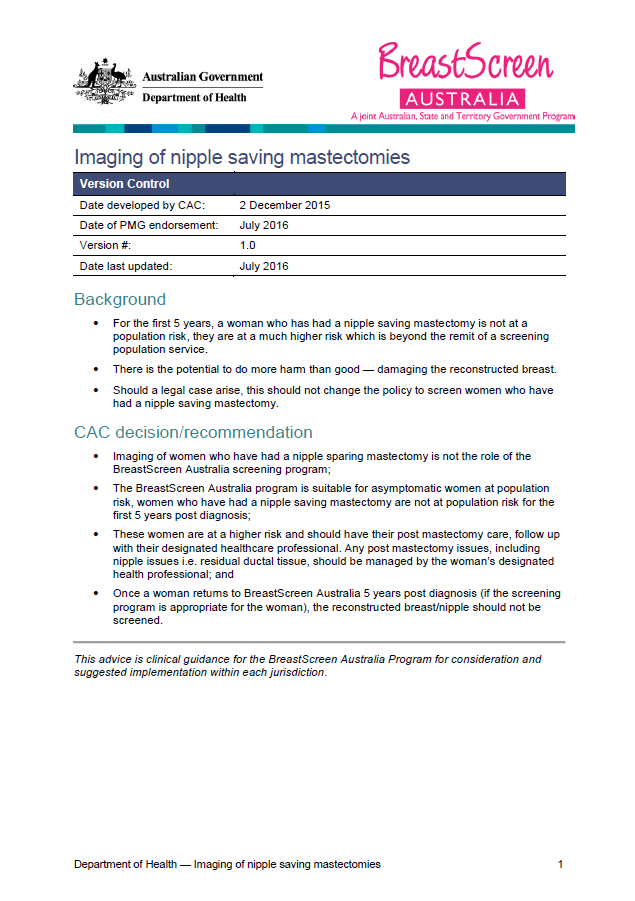
Imaging of nipple saving mastectomies
This clinical advice from the BreastScreen Australia (BSA) reviews the role of screening services for women who’ve had a nipple saving mastectomy. -
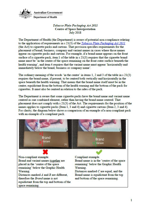
Tobacco plain packaging – placement of brand names
This guideline provides clear instructions on the placement of brand, business, company and variant names on cigarette packs and cartons. -
Review of Care Coordination within the Integrated Team Care (ITC) Program Summary report
This report investigates the impact of the ITC program on health outcomes for Aboriginal and Torres Strait Islander people with a chronic disease.