Filter results
You can narrow down the results using the filters
Audience
Publication type
Topics
Our work
Diseases
9534 results
-
Health Portfolio Budget Statements 2018–19
The Health Portfolio Budget Statements for the 2018 to 2019 financial year outline how the Government has allocated resources to outcomes for all entities within our portfolio. -
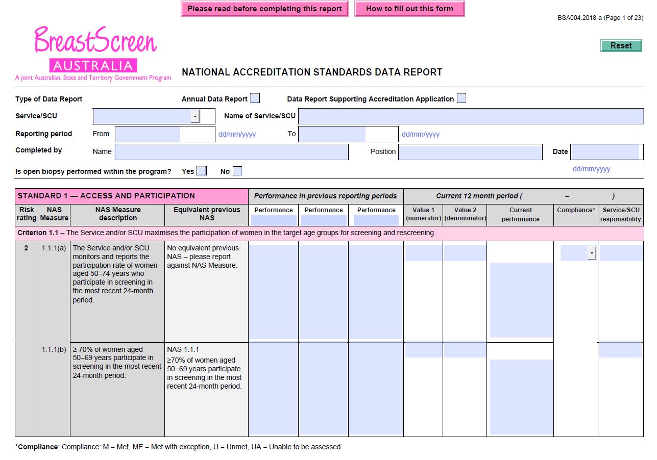
BreastScreen Australia – National Accreditation Standards (NAS) data report (BSA004)
BreastScreen Australia services and State Coordination Units (SCUs) use this form to record the Service and/or SCU’s performance against those NAS Measures in which they are responsible for. It must be submitted as part of an application for accreditation. -
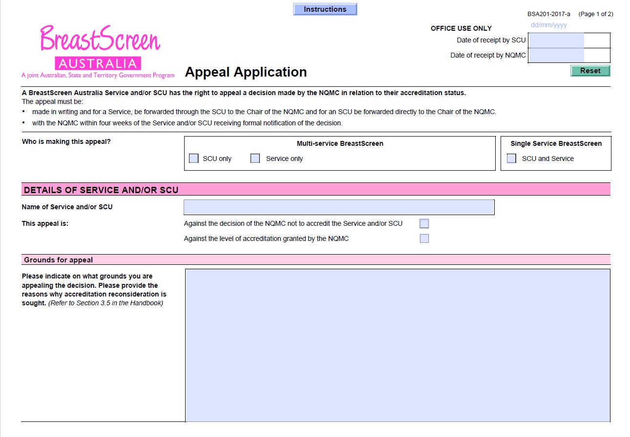
BreastScreen Australia – Appeal application (BSA201)
BreastScreen Australia services and State Coordination Units (SCUs) use this form to appeal against an accreditation decision of the NQMC. -
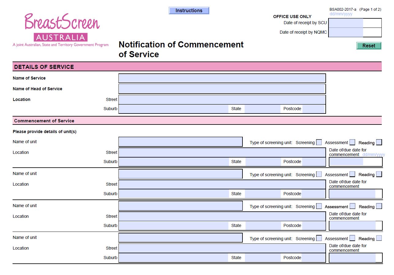
BreastScreen Australia – Notification of commencement of service (BSA002)
BreastScreen Australia services and State Coordination Units (SCUs) use this form when intending on commencing a new unit within an existing BSA Service commences, or establishing a new BSA Service. -
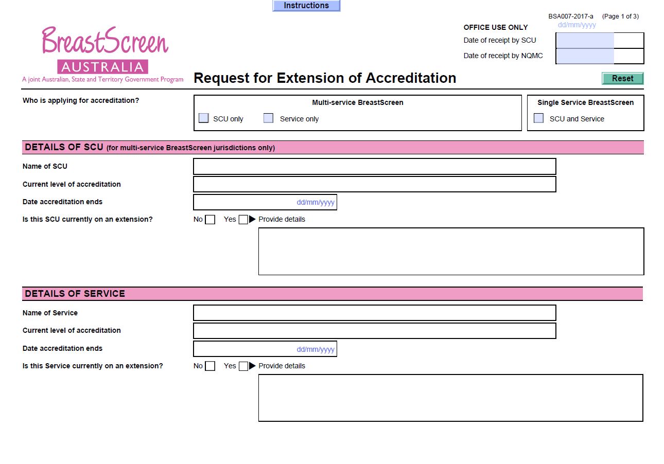
BreastScreen Australia – Request for extension of accreditation (BSA007)
BreastScreen Australia services and State Coordination Units (SCUs) use this form to ask for an extension to their current accreditation period by up to 9 months. -
Taskforce findings – Endocrinology Clinical Committee report
This document summarises the Medicare Benefits Schedule (MBS) Review Taskforce’s recommendations in response to the Endocrinology Clinical Committee report. -
Taskforce findings – Renal Medicine Clinical Committee report
This document summarises the Medicare Benefits Schedule (MBS) Review Taskforce’s recommendations in response to the Renal Medicine Clinical Committee report. -
Tobacco control enforcement policy
We investigate and enforce the laws relating to tobacco products. This policy outlines the principles we use to guide our decisions and actions in enforcing these laws. -
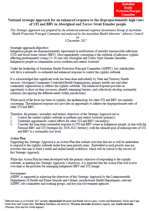
National strategic approach for an enhanced response to the disproportionately high rates of STI and BBV in Aboriginal and Torres Strait Islander people
This document outlines how governments will address sexually transmissible diseases and blood-borne viruses among Aboriginal and Torres Strait Islander people. -
Literature review of international biosimilar medicines update – December 2017 to February 2018
This reports updates a literature review that looked at international and Australian clinical, academic and policy journals, and media articles or sources in relation to biosimilar medicines, to help inform policy development and communication activities. It covers December 2017 to February 2018. -

National Vaccine Storage Guidelines ‘Strive for 5’ – sticker 1
National Vaccine Storage Guidelines ‘Strive for 5’ sticker about keeping the power connected to refrigerators. -
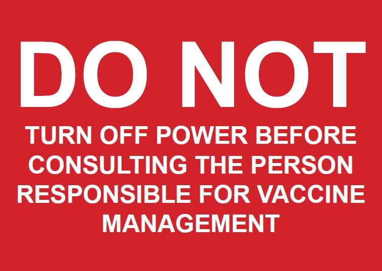
National Vaccine Storage Guidelines ‘Strive for 5’ – sticker 2
National Vaccine Storage Guidelines ‘Strive for 5’ sticker about vaccine management. -

National Vaccine Storage Guidelines ‘Strive for 5’ – sticker 3
National Vaccine Storage Guidelines ‘Strive for 5’ sticker about not opening refrigerator doors until you've located the vaccine you need. -
Community attitude research on influenza vaccination – Quantitative research report
Research reports on quantitative research conducted on community attitudes and behaviours regarding the influenza vaccine. -
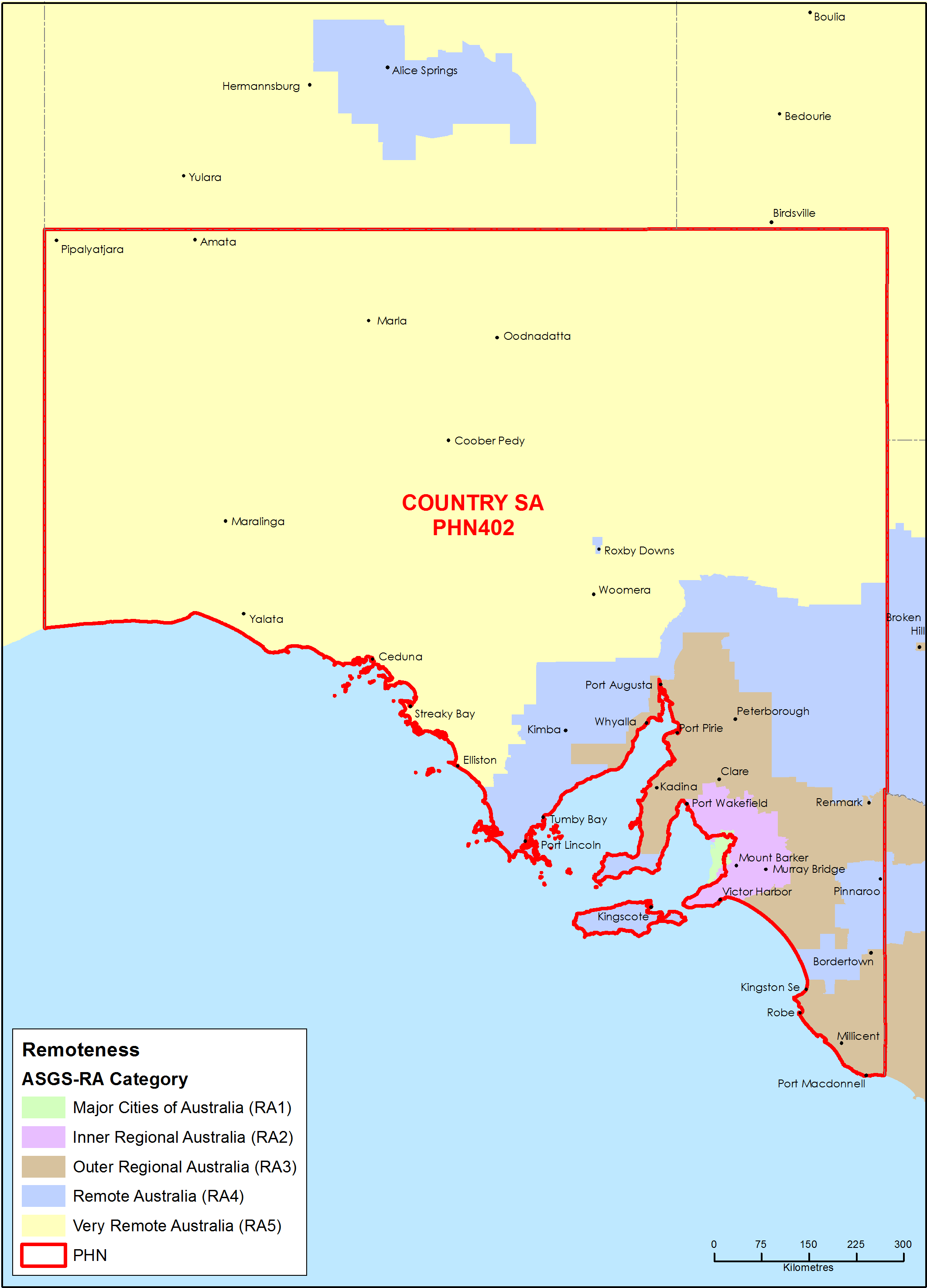
Country South Australia Primary Health Network (PHN) map – Australian Statistical Geography Standard (ASGS) remoteness area
This map shows the Australian Statistical Geography Standard remoteness area classifications within the Country South Australia Primary Health Network. -
National Immunisation Research — Qualitative (2016) and quantitative (2017) research reports
Research reports on qualitative and quantitative research conducted on attitudes and behaviours regarding childhood and adult immunisation. -
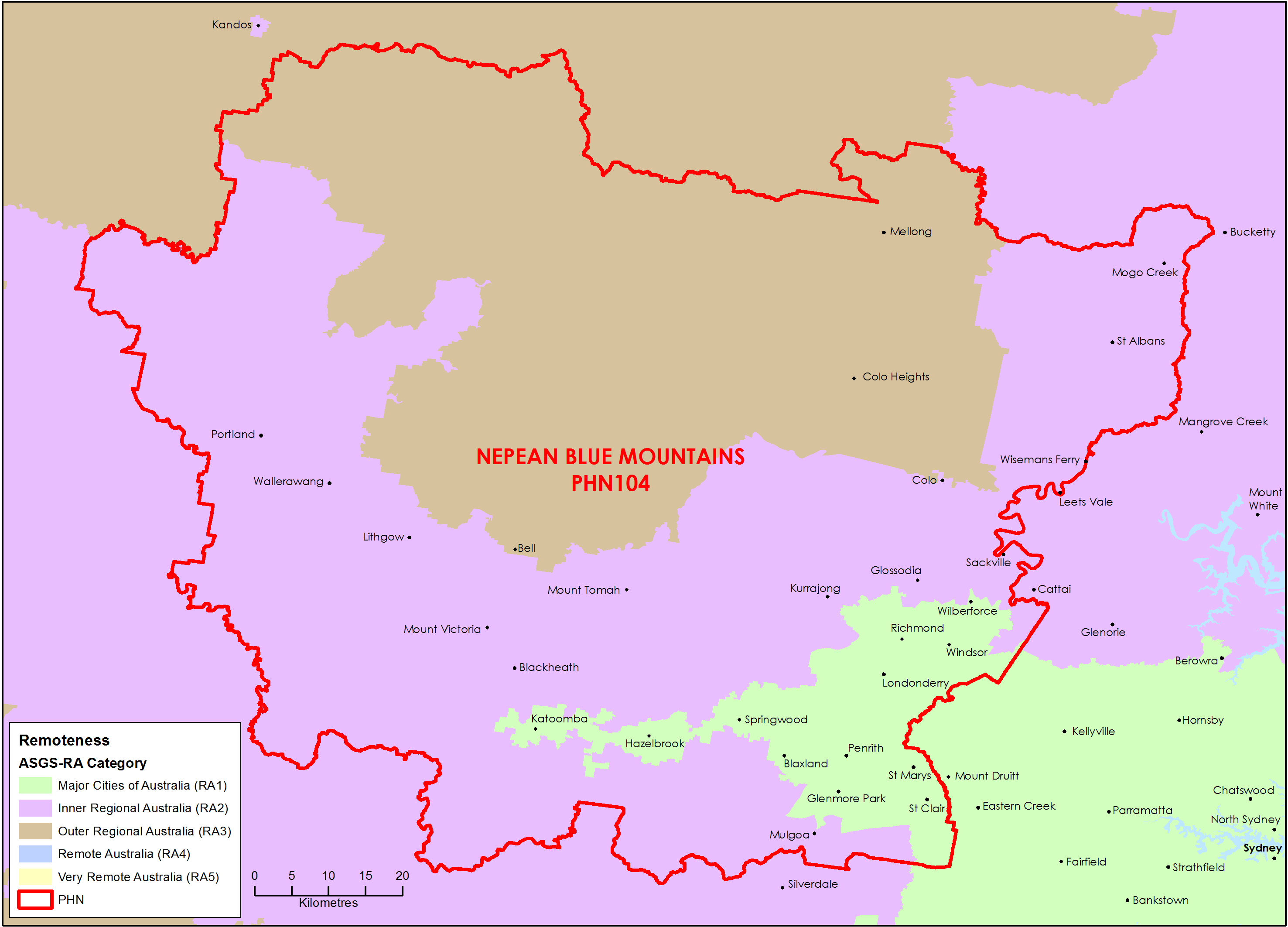
Nepean Blue Mountains (NSW) Primary Health Network (PHN) map – Australian Statistical Geography Standard (ASGS) remoteness area
This map shows the Australian Statistical Geography Standard remoteness area classifications within the Nepean Blue Mountains (NSW) Primary Health Network. -
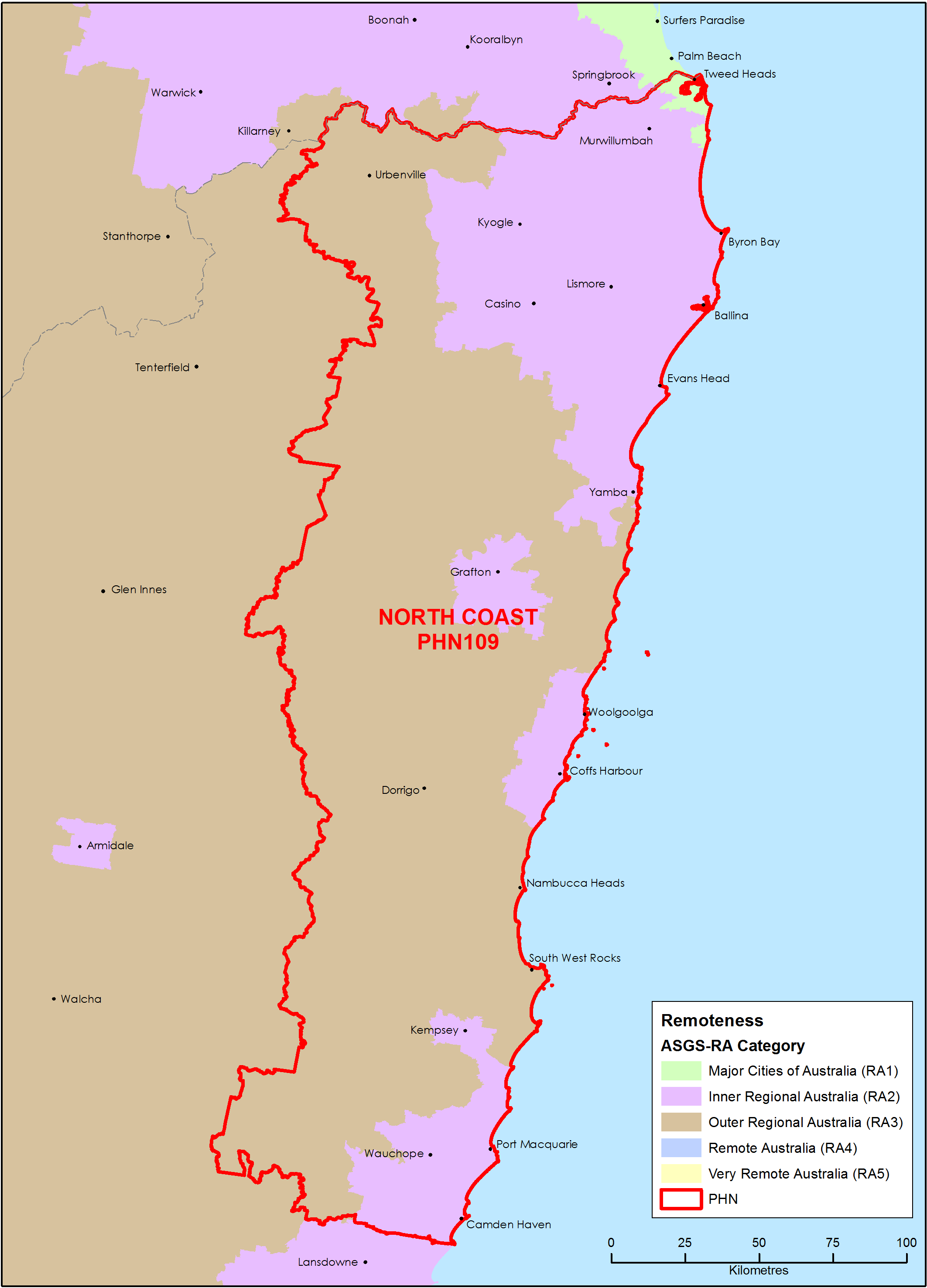
North Coast (NSW) Primary Health Network (PHN) map – Australian Statistical Geography Standard (ASGS) remoteness area
This map shows the Australian Statistical Geography Standard remoteness area classifications within the North Coast (NSW) Primary Health Network. -
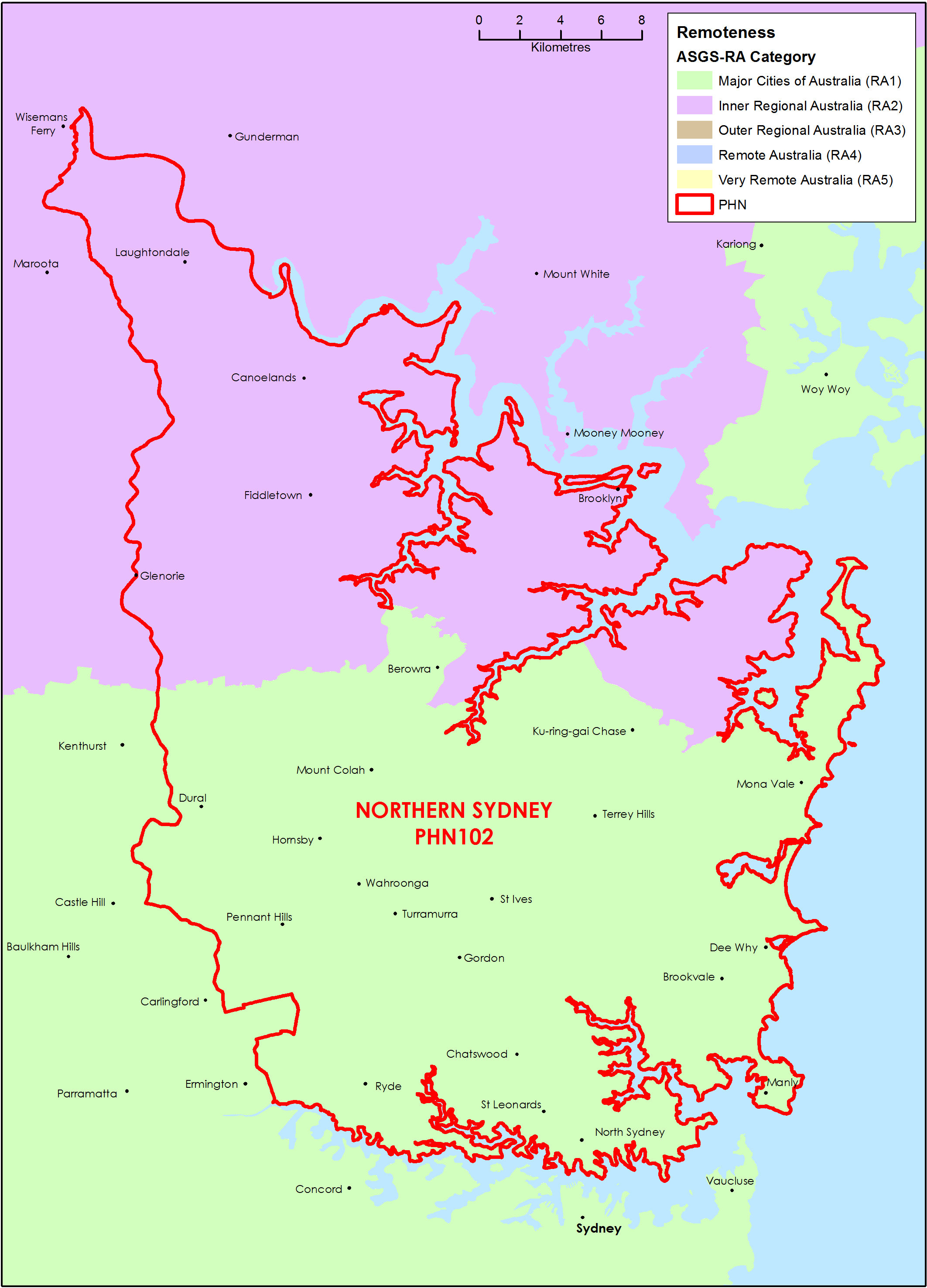
Northern Sydney (NSW) Primary Health Network (PHN) map – Australian Statistical Geography Standard (ASGS) remoteness area
This map shows the Australian Statistical Geography Standard remoteness area classifications within the Northern Sydney (NSW) Primary Health Network. -
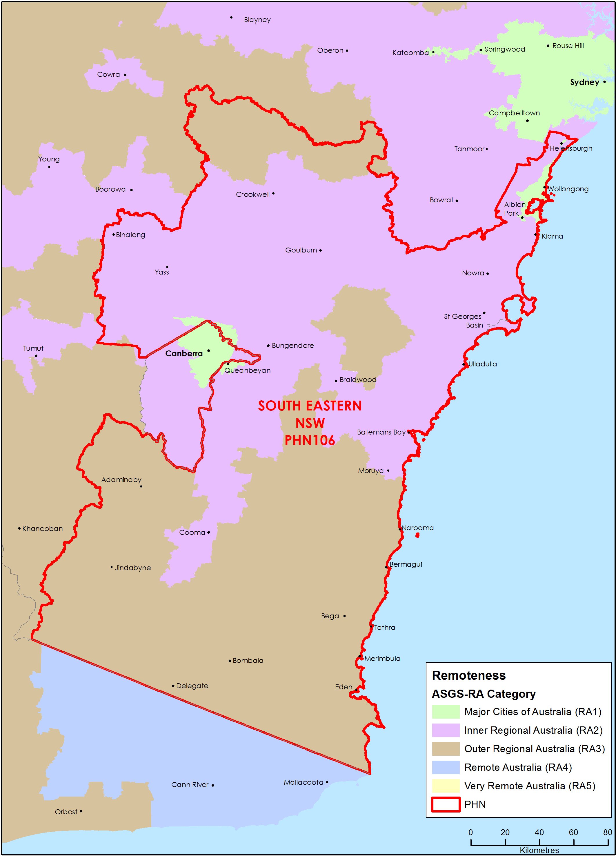
South Eastern New South Wales Primary Health Network (PHN) map – Australian Statistical Geography Standard (ASGS) remoteness area
This map shows the Australian Statistical Geography Standard remoteness area classifications within the South Eastern New South Wales Primary Health Network. -
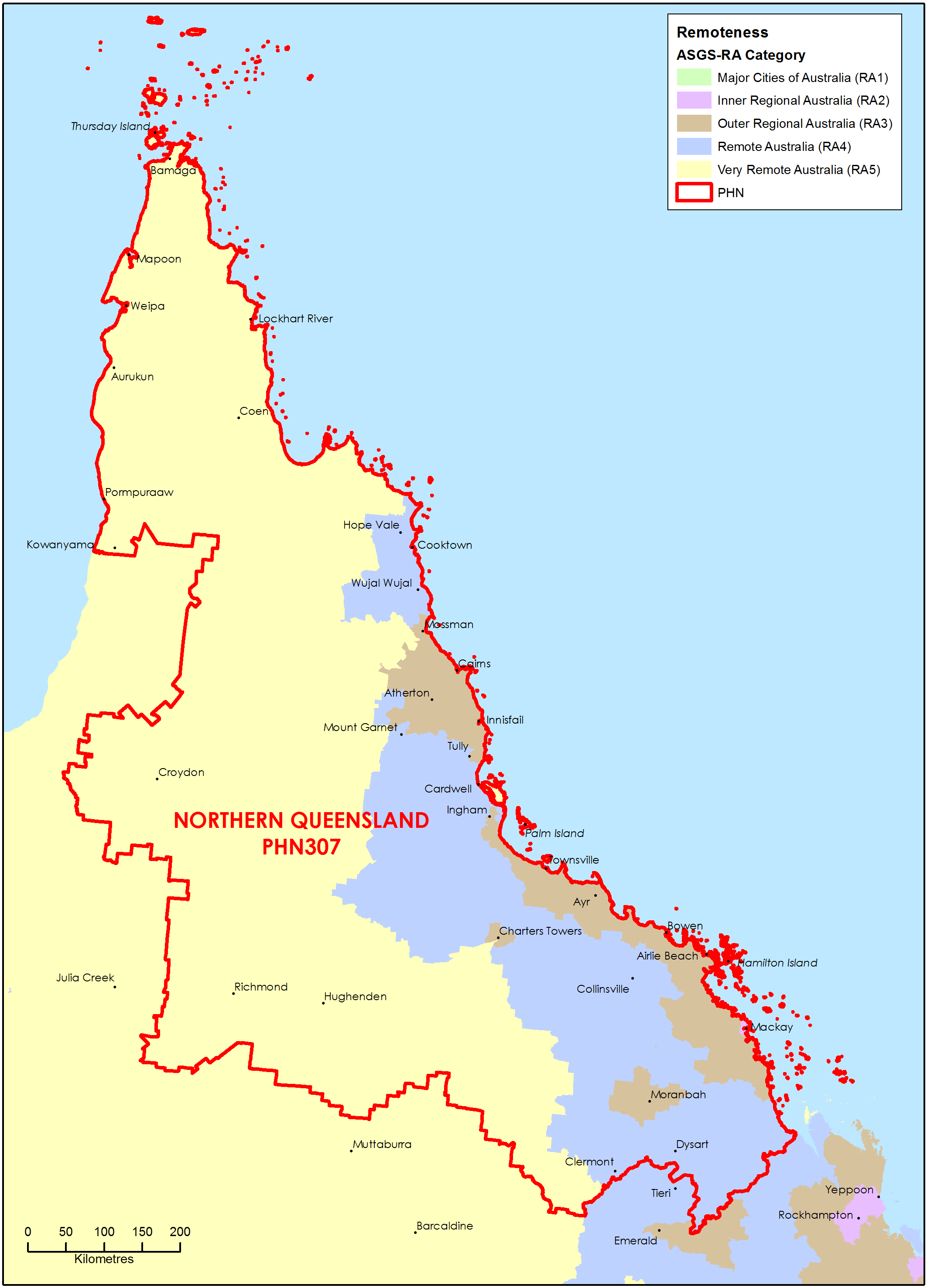
Northern Queensland Primary Health Network (PHN) map – Australian Statistical Geography Standard (ASGS) remoteness area
This map shows the Australian Statistical Geography Standard remoteness area classifications within the Northern Queensland Primary Health Network. -
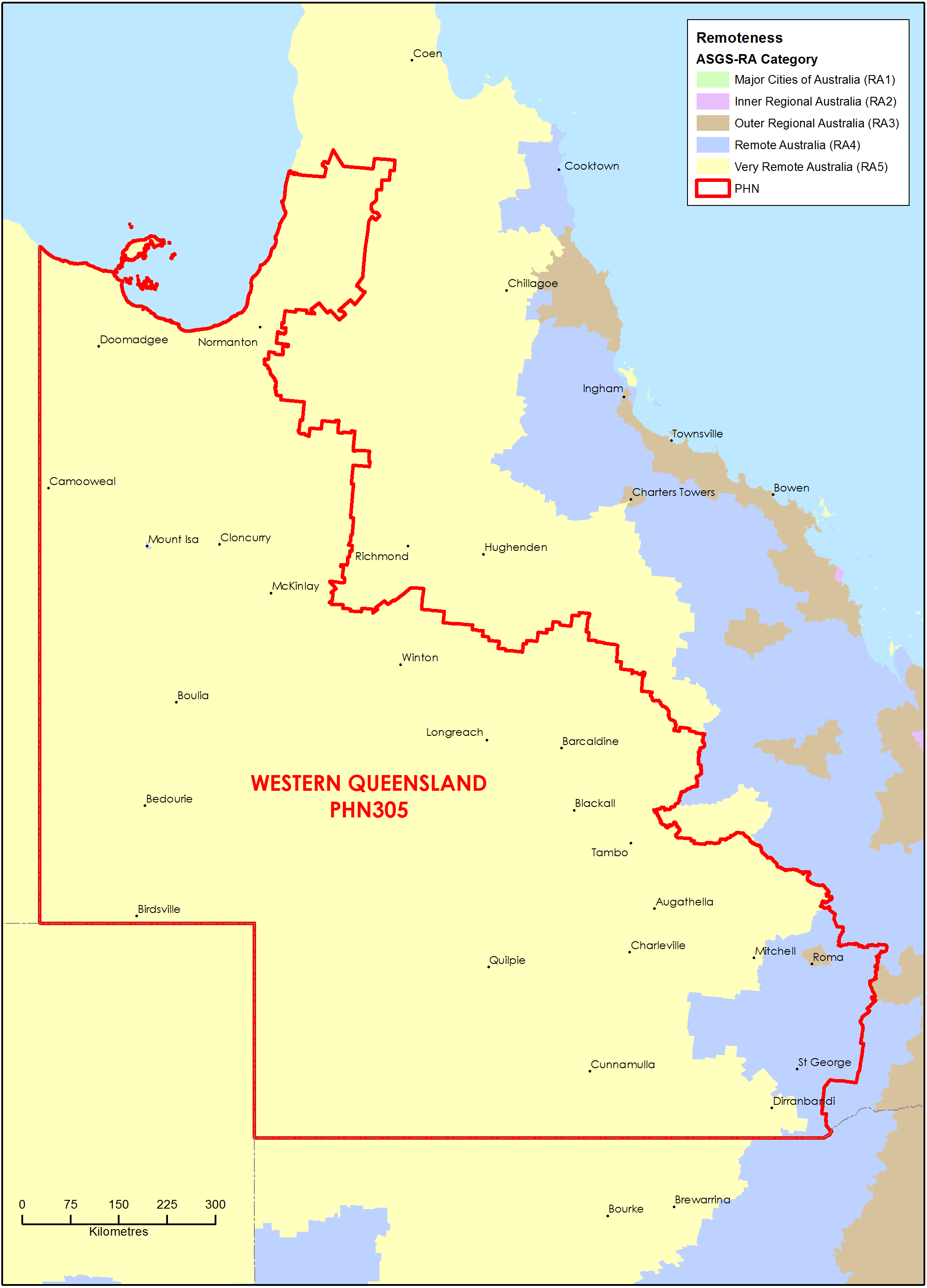
Western Queensland Primary Health Network (PHN) map – Australian Statistical Geography Standard (ASGS) remoteness area
This map shows the Australian Statistical Geography Standard remoteness area classifications within the Western Queensland Primary Health Network. -
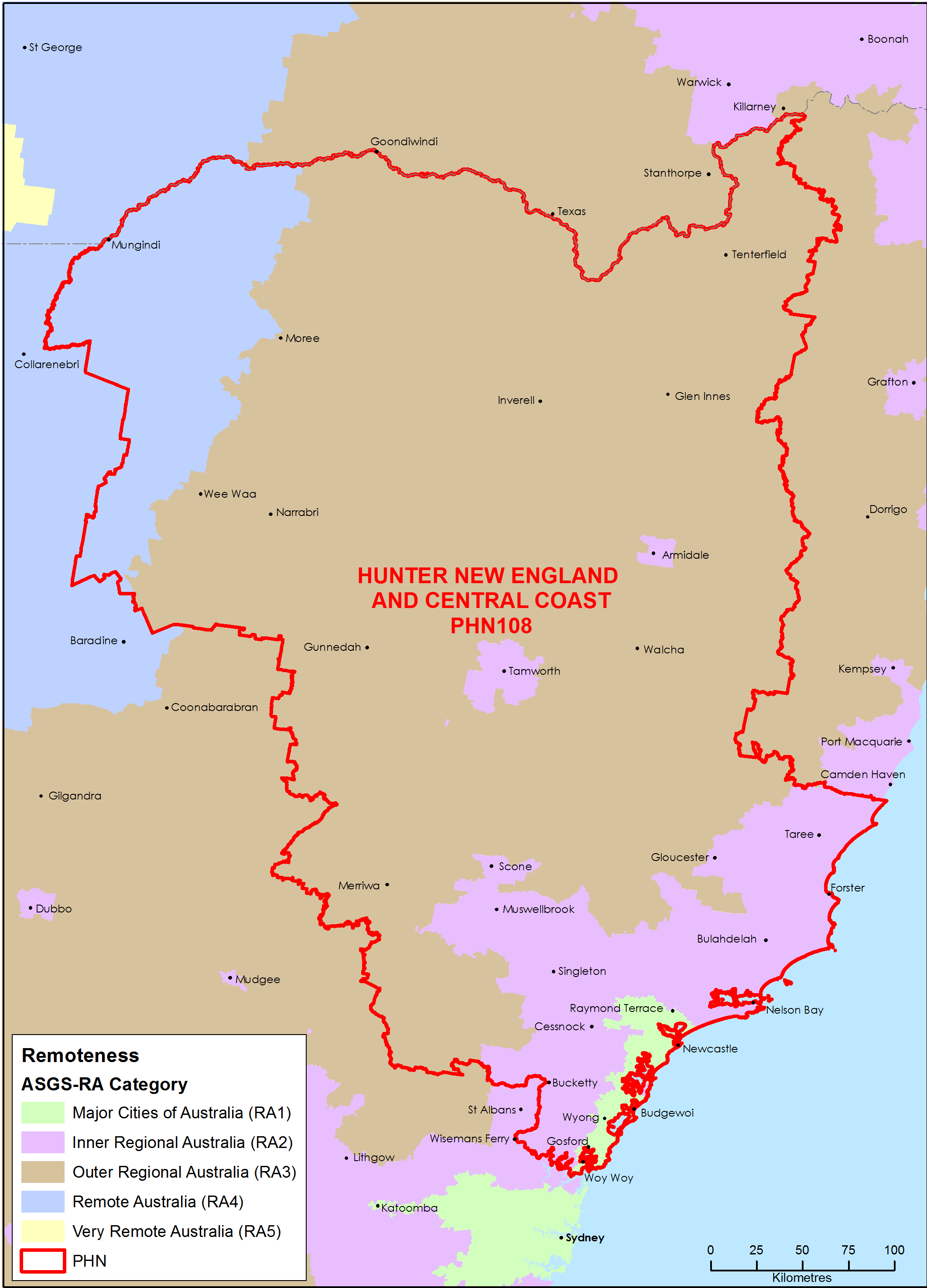
Hunter, New England and Central Coast (NSW) Primary Health Network (PHN) map – Australian Statistical Geography Standard (ASGS) remoteness area
This map shows the Australian Statistical Geography Standard remoteness area classifications within the Hunter, New England and Central Coast (NSW) Primary Health Network. -
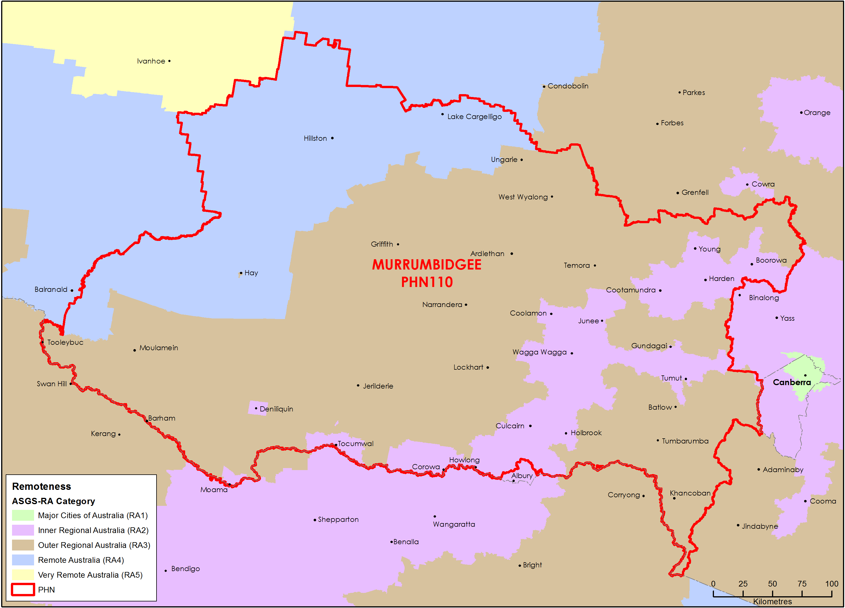
Murrumbidgee (NSW) Primary Health Network (PHN) map – Australian Statistical Geography Standard (ASGS) remoteness area
This map shows the Australian Statistical Geography Standard remoteness area classifications within the Murrumbidgee (NSW) Primary Health Network. -
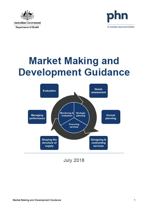
Primary Health Networks (PHNs) market making and development guidance and toolkit
This guidance and toolkit help Primary Health Networks (PHNs) understand, influence, support, develop and work collaboratively with their service provider markets.