Filter results
You can narrow down the results using the filters
Audience
Publication type
Topics
Our work
Diseases
9534 results
-
Guidelines for Applying for the Higher Accommodation Supplement
Residential aged care providers use these guidelines to find out whether they're eligible for the higher accommodation supplement and to apply. -
Taskforce final report – Plastic and Reconstructive Surgery items
This report contains the Medicare Benefits Schedule (MBS) Review Taskforce's findings and recommendations to the Australian Government on its review of plastic and reconstructive surgery. -
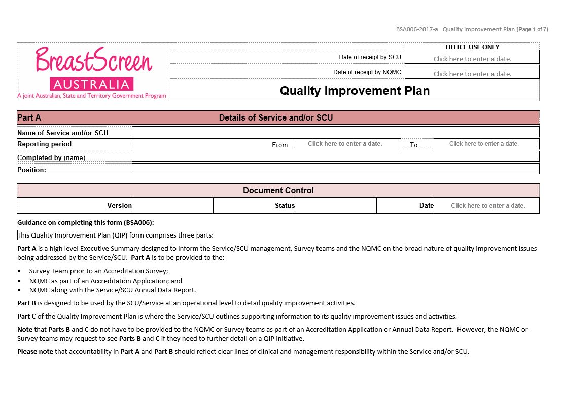
BreastScreen Australia – Quality improvement plan (BSA006)
BreastScreen Australia services and State Coordination Units (SCUs) use this form to identify strategies to improve performance against any unmet NAS Measures, or when declining performance trends are identified. It must be submitted as part of an application for accreditation. -
Taskforce final report – Orthopaedic MBS items
This report contains the Medicare Benefits Schedule (MBS) Review Taskforce's findings and recommendations to the Australian Government on its review of orthopaedics. -
Quality Use of Pathology (QUP) Project Stream – Final report National Certification Scheme for the medical laboratory scientific workforce project
This final report outlines the results of the Human Capital Alliance project to establish a National Certification Scheme for the medical laboratory scientific workforce. -
Trends in substance use among Australian secondary school students 1996–2017
This report presents trends data of the Australian Secondary Students' Alcohol and Drug (ASSAD) survey. It includes statistics on the use of tobacco, alcohol, electronic cigarettes, over-the-counter drugs, and illicit drugs, 1996–2017. -
Final clinical committee report for Paediatric Surgery
This report contains the recommendations the Paediatric Surgery Advisory Group made to the MBS Review Taskforce, after public consultation. -
National stocktake of genetics and genomics testing and activities – High-level summary
This stocktake of genetic and genomic testing and activities was done for us by the Royal College of Pathologists of Australasia. It is based on data provided by participating laboratories and is a summary of the full report. -
National stocktake of genetics and genomics testing and activities – Key findings
This comprehensive survey of genetic and genomic testing and activities in Australia was done for us by the Royal College of Pathologists of Australasia. It is based on data provided by participating laboratories. -
24-hour movement guidelines – children and young people (5 to 17 years) – fact sheet
Being active is important for children and young people to be healthy, and set good habits for life. Read about how much activity children and young people should do each day, how sitting time and screen time should be limited, and how much sleep they should get. -
ACFA Submission to the Royal Commission into Aged Care Quality and Safety
This submission by the Aged Care Financing Authority (ACFA) describes the financial performance of aged care service providers. It also looks at the financing and funding challenges in the aged care sector. -
National Microbial Genomics Framework 2019–2022
Microbial genomics is revolutionising the diagnosis, surveillance and control of communicable disease in Australia. This national framework identifies policy issues and challenges related to integrating microbial genomics into the Australian public health system. -
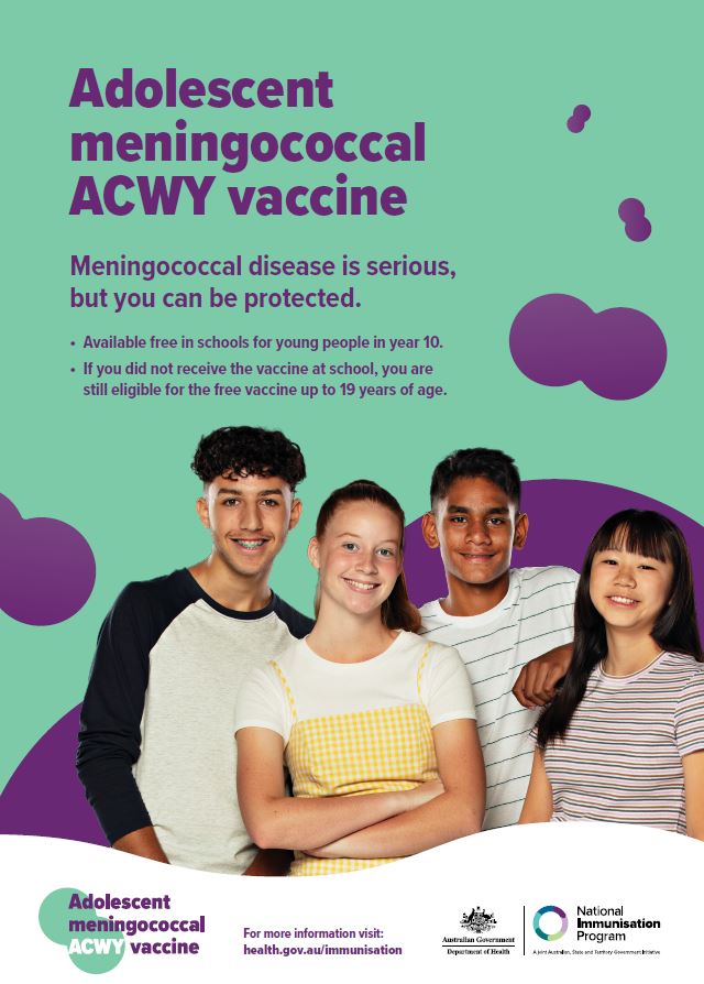
Adolescent meningococcal ACWY vaccine – poster
This poster provides information about the meningococcal ACWY vaccine, available free for adolescents. -
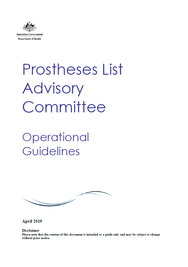
Prostheses List Advisory Committee (PLAC) Operational Guidelines
These guidelines set out how PLAC will operate to deliver on its Terms of Reference. -
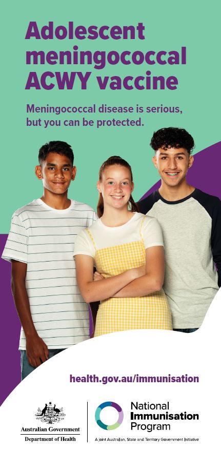
Adolescent meningococcal ACWY vaccine – brochure
This brochure provides information about the meningococcal ACWY vaccine, available free for adolescents.
-
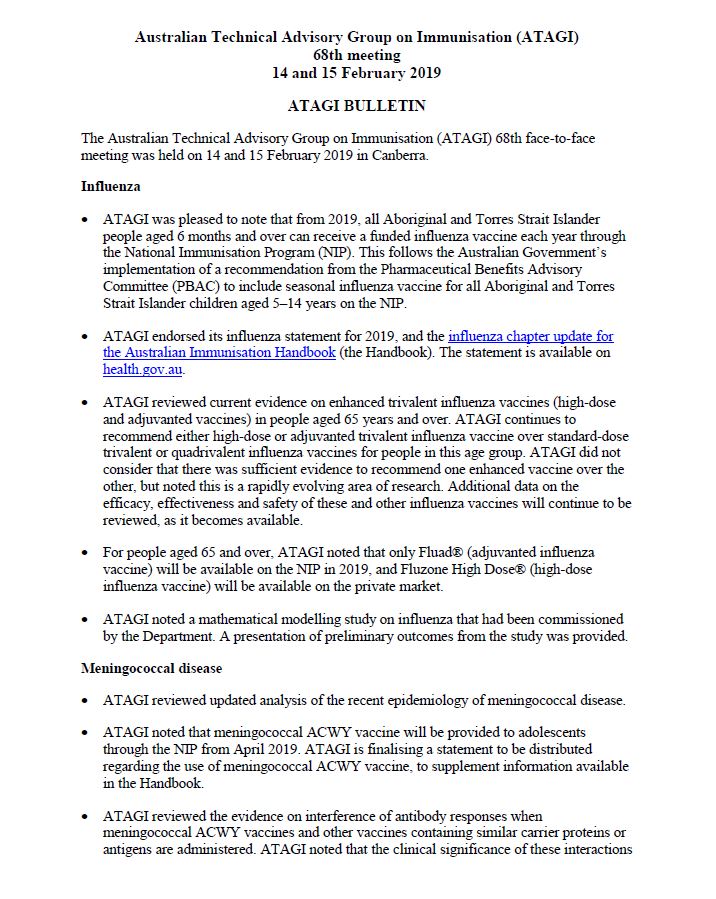
ATAGI Bulletin for the 68th Meeting, 14-15 February 2019
Australian Technical Advisory Group on Immunisation (ATAGI) Bulletin for the 68th Meeting held on 14 and 15 February 2019.
-
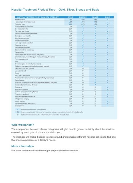
Private health insurance reforms – Gold, Silver, Bronze, Basic product tiers – fact sheet
This fact sheet describes the Gold, Silver, Bronze and Basic private hospital insurance tiers, and what they mean to you. -
Revised Benefit Setting and Review Framework Industry Working Group Terms of Reference
This document sets out the roles, function, membership and operating guidelines of the Revised Benefit Setting and Review Framework Industry Working Group. -
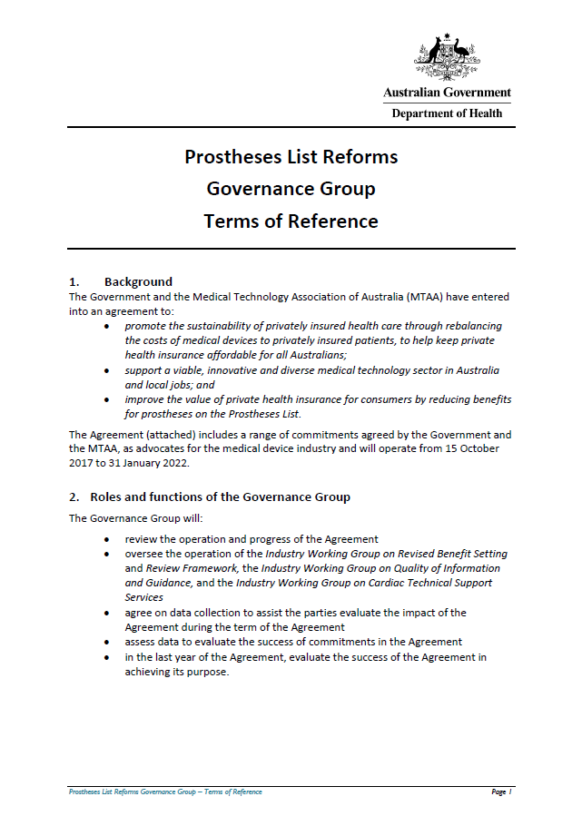
Prostheses List Reform Governance Group Terms of Reference
This document sets out the roles, function, membership, meetings and secretariat of the Governance Group. -
National Women's Health Strategy 2020–2030
This strategy outlines Australia’s national approach to improving the health of women and girls – particularly those at greatest risk of poor health – and to reducing inequities between different groups. -
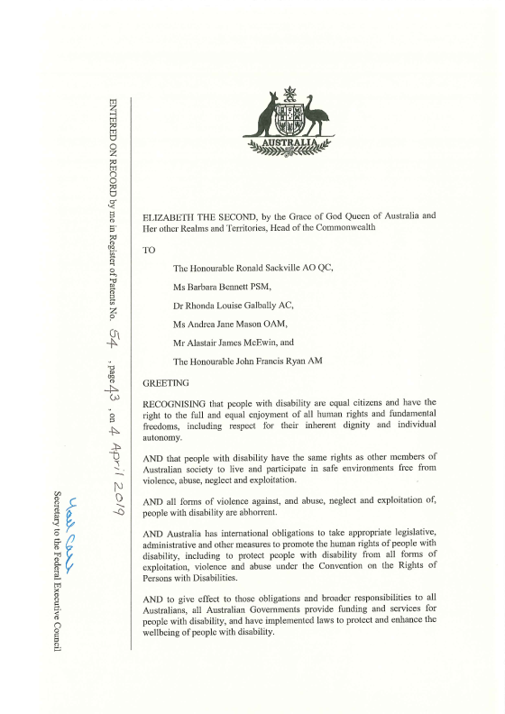
Royal Commission into Violence, Abuse, Neglect and Exploitation of People with Disability Letters Patent – Terms of Reference
On 5 April 2019, the Prime Minister, the Hon Scott Morrison MP, and Minister for Families and Social Services, the Hon Paul Fletcher MP, announced the establishment of the Royal Commission into Violence, Abuse, Neglect and Exploitation of People with Disability. -
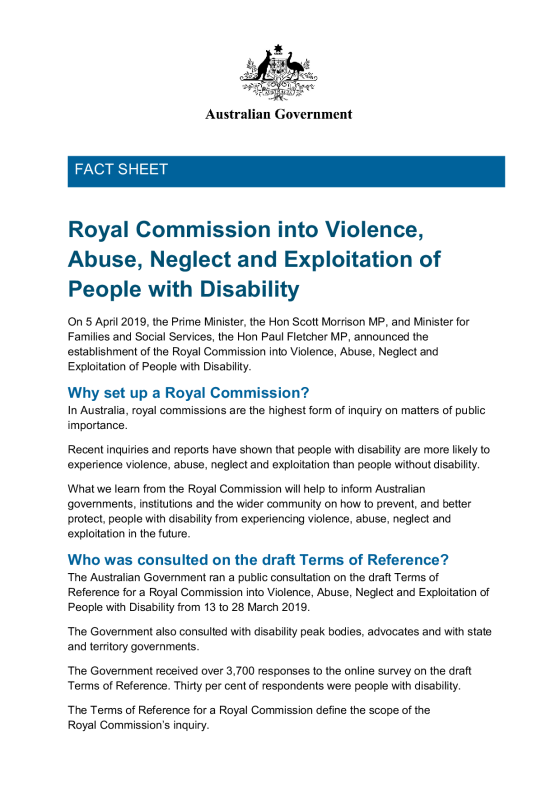
Royal Commission into Violence, Abuse, Neglect and Exploitation of People with Disability fact sheet
On 5 April 2019, the Prime Minister and Minister for Families and Social Services, announced the establishment of the Royal Commission into Violence, Abuse, Neglect and Exploitation of People with Disability. -
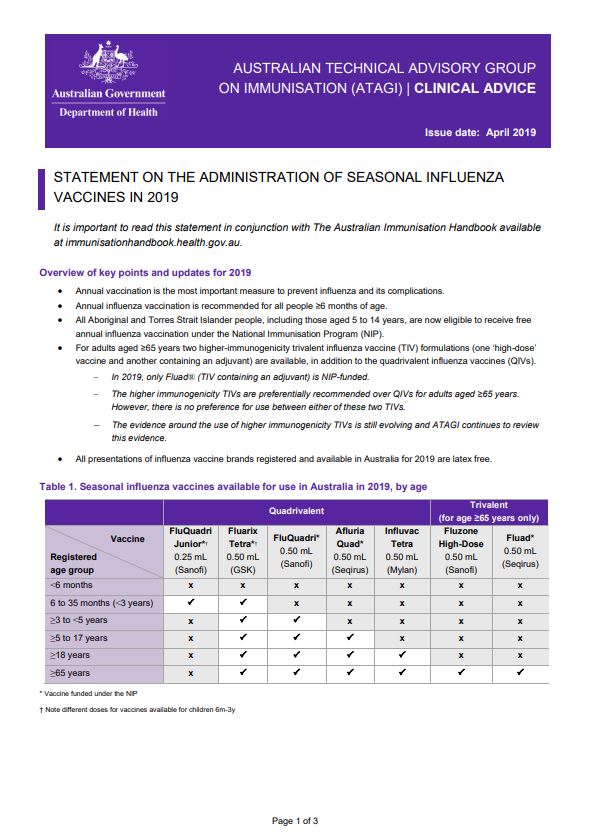
ATAGI advice on seasonal influenza vaccines in 2019
This resource provides advice for immunisation providers regarding the administration of 2019 seasonal influenza vaccines. -
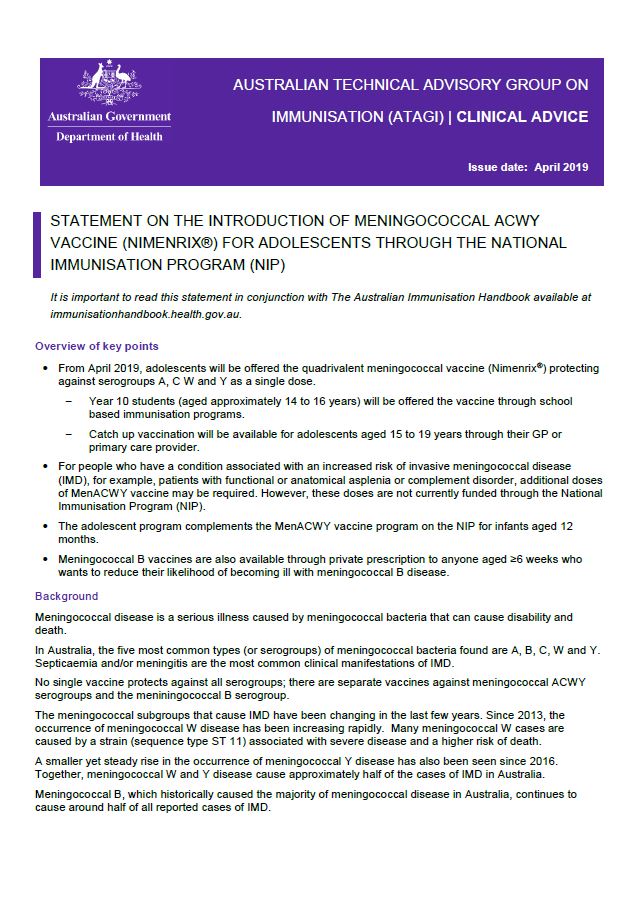
ATAGI statement on meningococcal ACWY vaccine (Nimenrix®) for adolescents
This resource provides advice on the introduction of meningococcal ACWY vaccine (Nimenrix®) for adolescents through the National Immunisation Program (NIP). -
National Action Plan for the Health of Children and Young People 2020–2030
This plan outlines our approach to improving health outcomes for all children and young people. It aims to ensure that children and young people, from all backgrounds and all walks of life, have the same opportunities to fulfil their potential, and are healthy safe and thriving.