
Filter results
You can narrow down the results using the filters
Audience
Topics
Our work
Diseases
11948 results
-
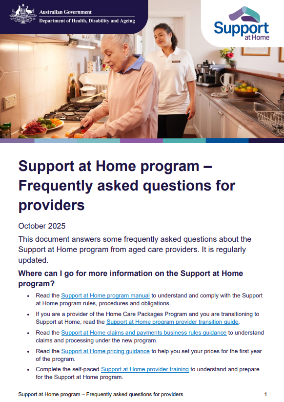
Support at Home program – Frequently asked questions for providers
This document answers some frequently asked questions about the Support at Home program from aged care providers. -
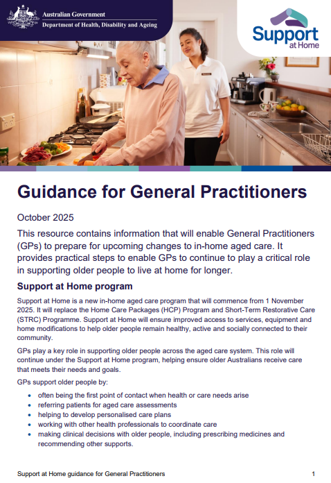
Support at Home guidance for General Practitioners
This provides practical steps to enable General Practitioners (GPs) to continue to play a critical role in supporting older people to live at home for longer. -
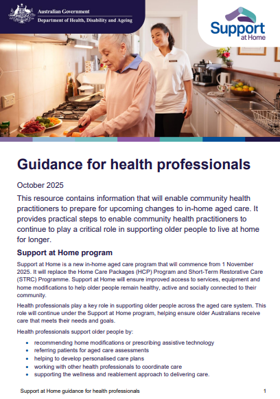
Support at Home guidance for health professionals
This resource provides practical steps to enable community health practitioners to continue to play a critical role in supporting older people to live at home for longer. -
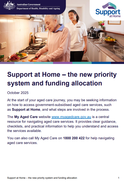
Support at Home – The new priority system and funding allocation
At the start of your aged care journey, you may be seeking information on how to access government-subsidised aged care services, such as Support at Home, and what steps are involved in the process. -
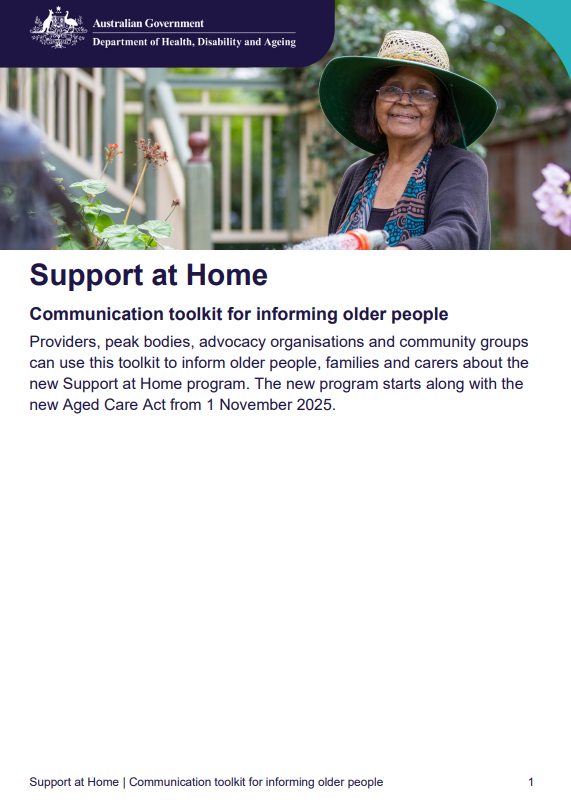
Support at Home – Communication toolkit for informing older people
This toolkit provides information and materials to help aged care providers, peak bodies, advocacy organisations and community groups inform older people, their families and carers about how the Support at Home program will operate under the new Aged Care Act. -
 2:11
2:11Overview of Support at Home
This video provides an overview of the Support at Home program and how it will help older people live independently for longer in their own homes. -
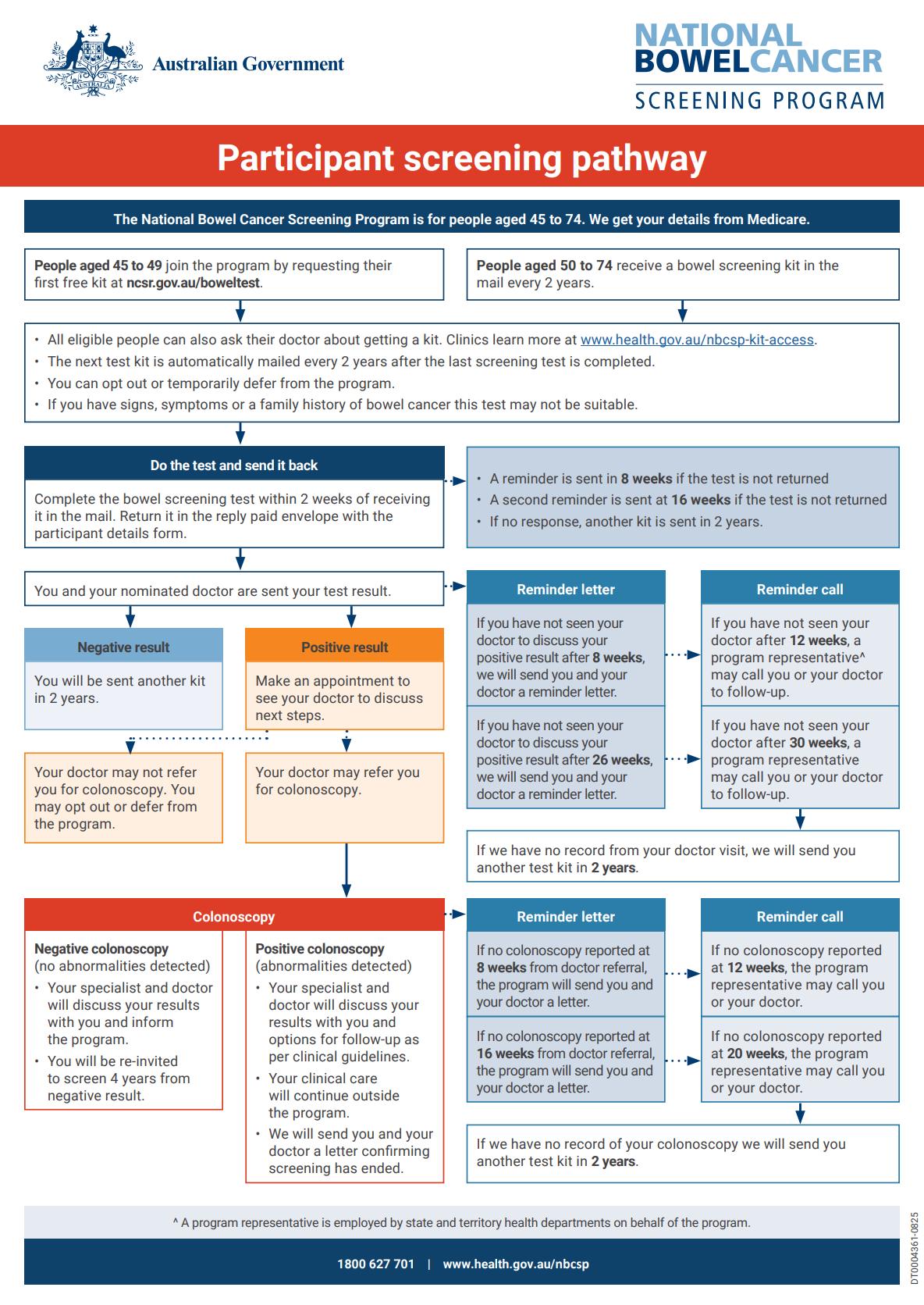
National Bowel Cancer Screening Program – Participant screening pathway
This flowchart shows the pathways that people take through the National Bowel Cancer Screening Program. It identifies what stages people are contacted throughout the process and who contacts them. -
New Aged Care Act – A digital readiness checklist for providers
This checklist covers digital readiness activities for providers in the lead up to the implementation of the new Act on 1 November 2025. The activities covered will help providers to achieve mission critical changes relating to digital readiness. -
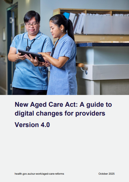
New Aged Care Act: A guide to digital changes for providers
The guide to digital changes for providers outlines the key digital changes that providers will experience in the lead up to the implementation of the new Act on 1 November 2025. It provides information to assist providers to anticipate and prepare for changes. -
 02:20
02:20Newborn Bloodspot Screening Open Call
Newborn bloodspot screening programs improve the health of babies by identifying those at risk of developing serious conditions. An open call inviting the public to identify conditions for consideration for screening was open from 14 October 2025 and closed on 14 January 2026. -
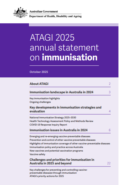
Australian Technical Advisory Group on Immunisation (ATAGI) Annual Statement on Immunisation 2025
The ATAGI 2025 Annual Statement on Immunisation is the fourth publication in this series. The statement highlights the key successes, trends and challenges in the use of vaccines and control of vaccine preventable diseases in Australia in 2024, and includes advice to address key issues for 2025. -
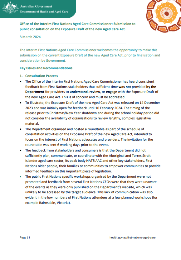
IFNACC submission – Exposure Draft of the New Aged Care Act
The Interim First Nations Aged Care Commissioner provided this submission during consultation on the Exposure Draft of the new Aged Care Act. -
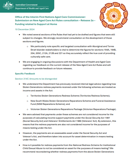
IFNACC submission – Aged Care Rules (Release 2a)
The Interim First Nations Aged Care Commissioner provided this submission during consultation on Release 2a of the Aged Care Rules. -
Interim First Nations Aged Care Commissioner – Submissions
This collection contains submissions for the Interim First Nations Aged Care Commissioner which came during the 2024-2025 consultation on the Exposure Draft of the new Aged Care Act. -
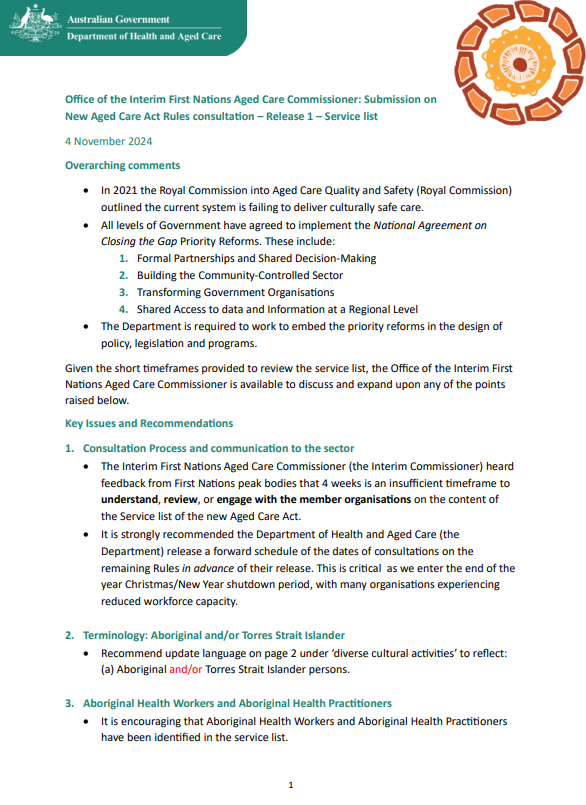
IFNACC submission – Aged Care Rules (Release 1)
The Interim First Nations Aged Care Commissioner provided this submission during consultation on Release 1 of the Aged Care Rules. -
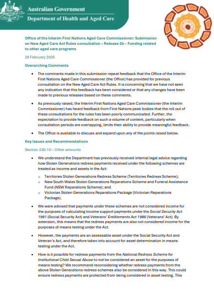
IFNACC submission – Aged Care Rules (Release 2b)
The Interim First Nations Aged Care Commissioner provided this submission during consultation on Release 2b of the Aged Care Rules. -
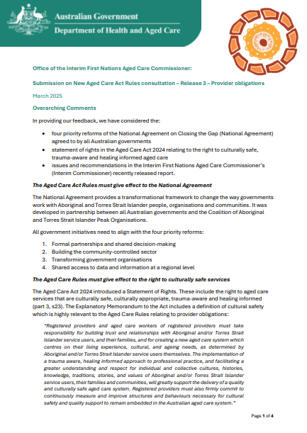
IFNACC submission – Aged Care Rules (Release 3)
The Interim First Nations Aged Care Commissioner provided this submission during consultation on Release 3 of the Aged Care Rules. -
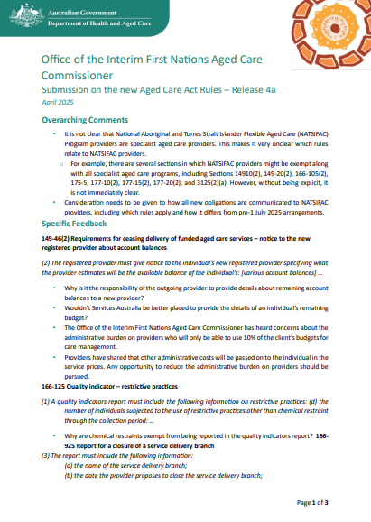
IFNACC submission – Aged Care Rules (Release 4a)
The Interim First Nations Aged Care Commissioner provided this submission during consultation on Release 4a of the Aged Care Rules. -
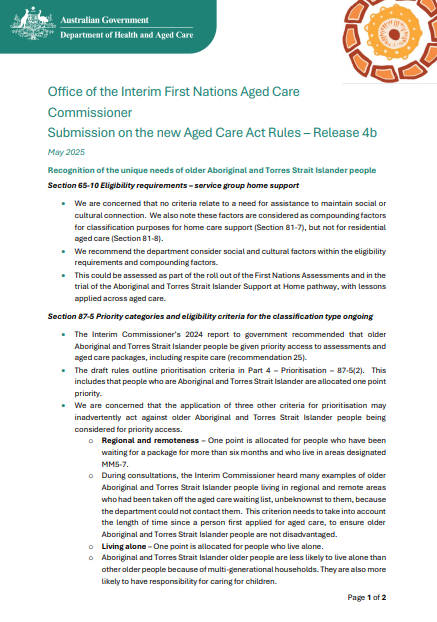
IFNACC submission – Aged Care Rules (Release 4b)
The Interim First Nations Aged Care Commissioner provided this submission during consultation on Release 4b of the Aged Care Rules. -
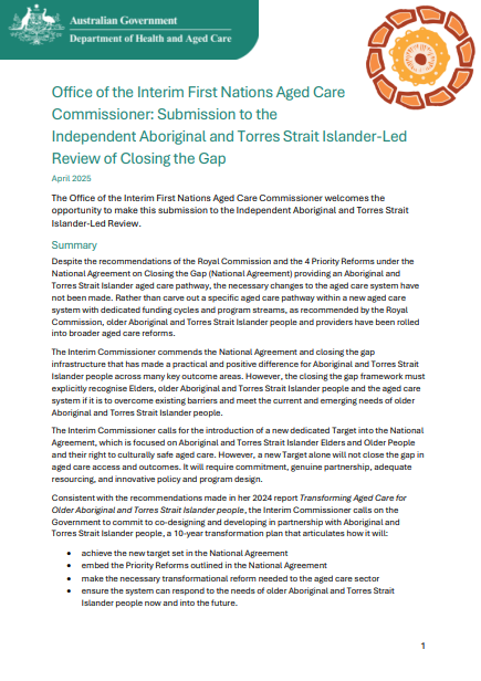
IFNACC submission – Closing the Gap Independent Aboriginal and Torres Strait Islander-led Review
The Interim First Nations Aged Care Commissioner provided this submission during consultation on the Closing the Gap Independent Aboriginal and Torres Strait Islander-led Review. -
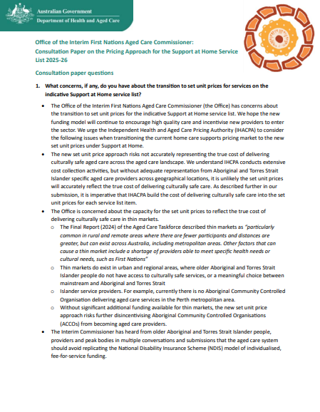
IFNACC submission – IHACPA consultation on the Support at Home service list, 2025–26
The Interim First Nations Aged Care Commissioner provided this submission during IHACPA’s consultation on the Support at Home service list, 2025–26. -

IFNACC submission – IHACPA consultation on the Pricing Framework for Residential Aged Care, 2025–26
The Interim First Nations Aged Care Commissioner provided this submission during IHACPA’s consultation on the Pricing Framework for Residential Aged Care Services, 2025–26. -
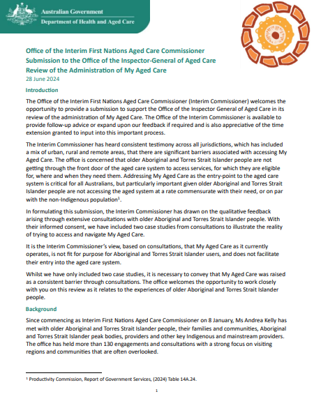
IFNACC submission – Administration of My Aged Care review
The Interim First Nations Aged Care Commissioner provided this submission during the Inspector-General of Aged Care’s review into the Administration of My Aged Care. -
Annual report – Office of the National Rural Health Commissioner 2024-25
This annual report covers the commissioner’s activities from 1 July 2024 to 30 June 2025. It includes key highlights and priorities of the office. -
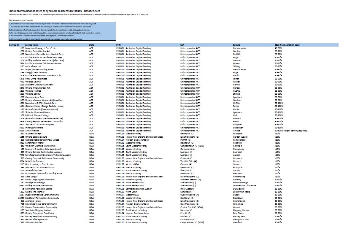
Residential aged care residents COVID-19 vaccination rates – 8 October 2025
This table provides COVID-19 vaccination rates of aged care residents by facility across Australia over the past 12 months, using data from the Australian Immunisation Register.