
Filter results
You can narrow down the results using the filters
Audience
Topics
Our work
Diseases
11940 results
-
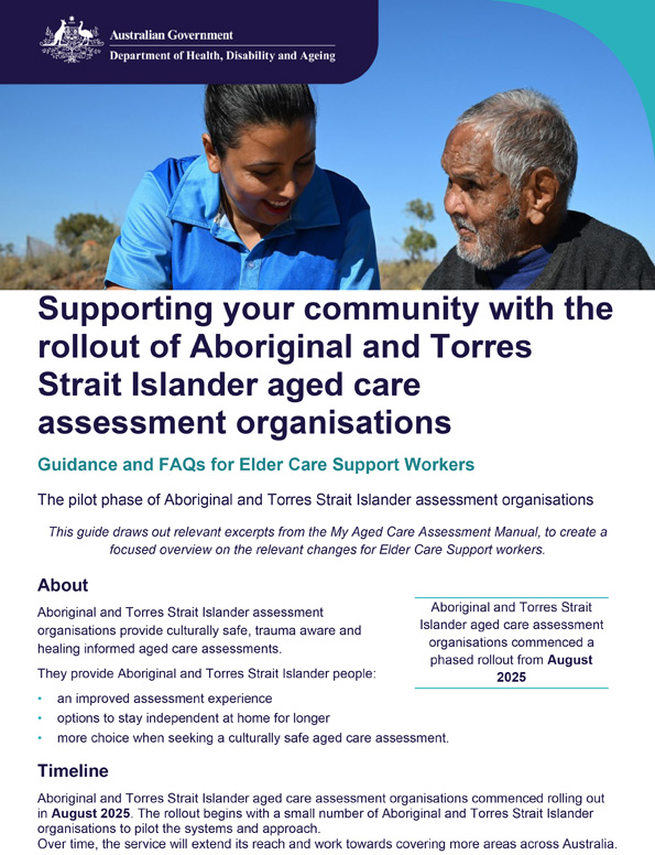
Guidance material for Elder Care Support workers – Aboriginal and Torres Strait Islander aged care assessment organisations
Guidance for Elder Care Support workers on the rollout of Aboriginal and Torres Strait Islander assessment organisations, covering culturally safe assessments, preference recording, referral, feedback, support, and FAQs. -
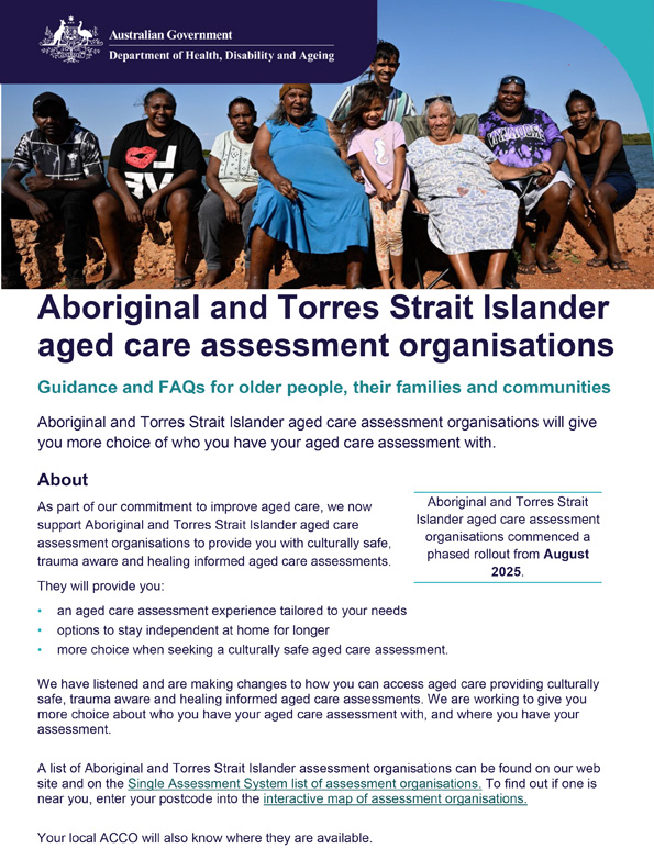
Guidance material for older people, their families and communities – Aboriginal and Torres Strait Islander aged care assessment organisations
Guidance for older people, their families and communities on the rollout of Aboriginal and Torres Strait Islander assessment organisations, covering culturally safe assessments, preference recording, referral, feedback, support, and FAQs. -

National Aged Care Quality Indicator Program Manual – Part A
The QI Program Manual outlines definitions for each quality indicator and provides information on how to collect and submit quality indicator data. -
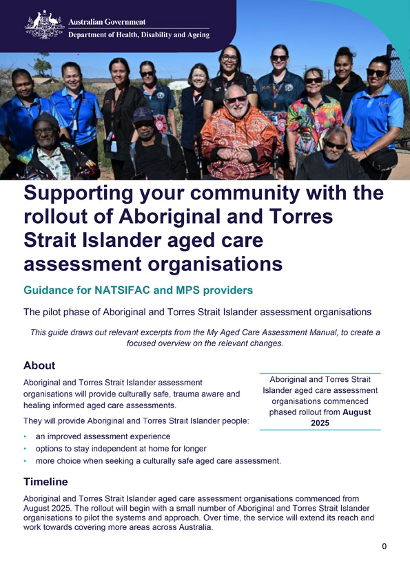
Guidance material for NATSIFAC and MPS providers – Aboriginal and Torres Strait Islander aged care assessment organisations
Guidance for NATSIFAC and MPS providers on the rollout of Aboriginal and Torres Strait Islander assessment organisations, covering culturally safe assessments, preference recording, referral, feedback, support, and FAQs. -
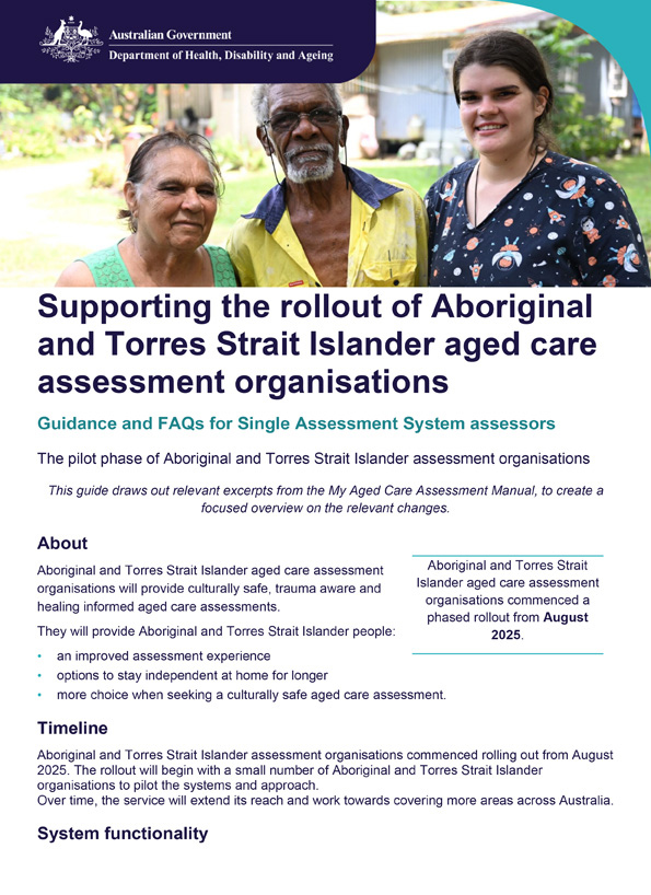
Guidance material for Single Assessment System assessors – Aboriginal and Torres Strait Islander aged care assessment organisations
Guidance for Single Assessment System assessors on the rollout of Aboriginal and Torres Strait Islander assessment organisations, covering culturally safe assessments, preference recording, referral, feedback, support, and FAQs. -
 00:10
00:10Syphilis is hard to spot, but easy to treat – Social media video 2 – 10 seconds
Make STI testing your Beforeplay. Use protection and book an STI test today. Staying on top of your sexual health means you can enjoy the moment knowing you and your partner are protected. -
 00:10
00:101 in 6 people will get an STI – Social media video 3 – 10 seconds
Make STI testing your Beforeplay. Use protection and book an STI test today. Staying on top of your sexual health means you can enjoy the moment knowing you and your partner are protected. -
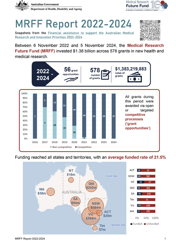
MRFF Report 2022–2024
A snapshot of Medical Research Future Fund (MRFF) financial support for Australian health and medical research between 2022 and 2024. -
Financial assistance to support the Australian Medical Research and Innovation Priorities
This collection brings together reports on how Medical Research Future Fund activities and funding have aligned with Australian Medical Research and Innovation Priorities since 2016. -
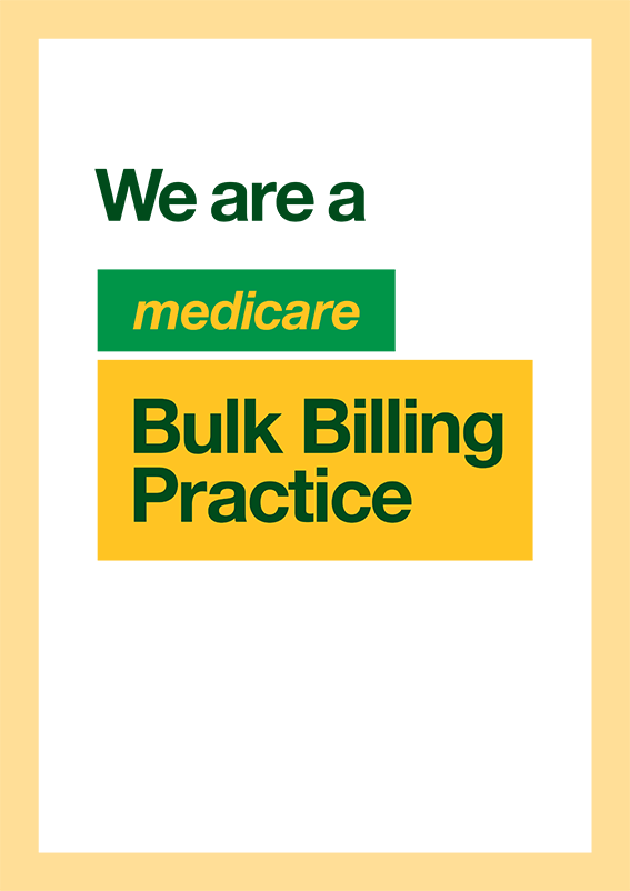
Medicare Bulk Billing Practice Posters
Practices participating in the Bulk Billing Practice Incentive Program (BBPIP) must display Medicare Bulk Billing Practice signage. Practice managers and GPs can download, print and display these posters in their Medicare Bulk Billing Practice. -
Bulk billing incentives in general practice: patient benefits
This fact sheet outlines how expanded eligibility for bulk billing incentives and the Bulk Billing Practice Incentive Program benefit patients. -

Medicare Bulk Billing Practice eligible services poster
This poster is designed for practice managers and GPs to download, print and display at Medicare Bulk Billing Practices. It explains which types of services are eligible and non-eligible for bulk billing at the practice. -
QI Program quick reference guide – Activities of daily living
This guide is for registered providers of approved residential care homes. It helps you understand and meet your obligations to collect and report data on activities of daily living for the QI Program. -
QI Program quick reference guide – Consumer experience
This guide is for registered providers of approved residential care homes. It helps you understand and meet your obligations to collect and report data on consumer experience for the QI Program. -
QI Program quick reference guide – Hospitalisation
This guide is for registered providers of approved residential care homes. It helps you understand and meet your obligations to collect and report data on hospitalisation for the QI Program. -
QI Program quick reference guide – Incontinence care
This guide is for registered providers of approved residential care homes. It helps you understand and meet your obligations to collect and report data on incontinence care for the QI Program. -
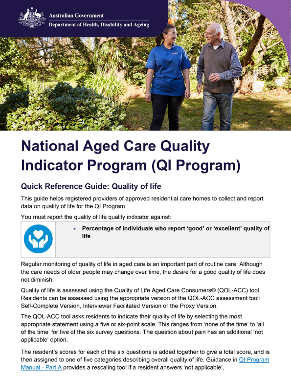
QI Program quick reference guide – Quality of life
This guide is for registered providers of approved residential care homes. It helps you understand and meet your obligations to collect and report data on quality of life for the QI Program. -
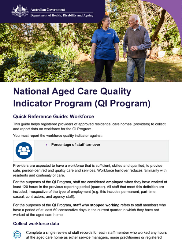
QI Program quick reference guide – Workforce
This guide is for registered providers of approved residential care homes. It helps you understand and meet your obligations to collect and report data on workforce for the QI Program. -
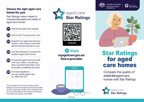
Star Ratings for residential aged care brochure
This brochure presents an overview of how Star Ratings for residential aged care works. -
QI Reporting via GPMS – Additional guidance
An FAQ style document that provides additional guidance to registered providers to assist with reporting QI Program data via the new GPMS – QI application. -

Government Provider Management System – User guide: Quality Indicators application
This user guide is for Australian Government–funded providers of residential aged care. The user guide provides instructions to submit data and access reports using the Quality Indicators application in the Government Provider Management System. -

Financial performance of the Australian aged care sector
We release annual reports on the financial performance of the Australian aged care sector. They include an analysis of residential aged care, home care and the Commonwealth Home Support Program. -
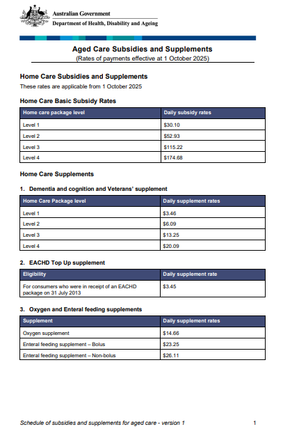
Schedule of Subsidies and Supplements for Aged Care (Before 1 November 2025)
View the schedules of subsidies and supplements for government-funded aged care under the Aged Care Act 1997. This includes daily rates for residential, flexible and home care until 31 October 2025. -
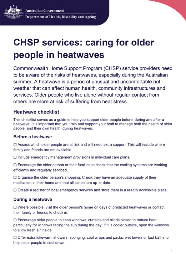
CHSP services: caring for older people in heatwaves
CHSP providers should assess risks, update care plans, and support older people before, during, and after heatwaves. Key actions include checking cooling, hydration, nutrition, monitoring health, and reviewing emergency plans. -
Multi-Purpose Service Program: Template for service agreements
This template provides an example of a service agreement to assist Multi-Purpose Service Program (MPSP) providers to establish service agreements with individuals accessing funded aged care services.