Filter results
You can narrow down the results using the filters
Audience
Topics
Our work
Diseases
11835 results
-
Sixth Report on the Funding and Financing of the Aged Care Sector – July 2018
This is the sixth annual report on funding and financing by the Aged Care Financing Authority (ACFA). It looks at the challenges facing the aged care sector in Australia and includes analysis of the data supplied by service providers in their 2016–17 financial reports.
-
Seventh Report on the Funding and Financing of the Aged Care Industry – July 2019
This is the seventh annual report on funding and financing by the Aged Care Financing Authority (ACFA). It looks at the challenges facing the aged care sector in Australia and includes analysis of the data supplied by service providers in their 2017–18 financial reports. -
Approved Private Emergency Department Program guidelines
These guidelines provide the background, principles, eligibility criteria and operational procedures of the program for participating hospitals. -
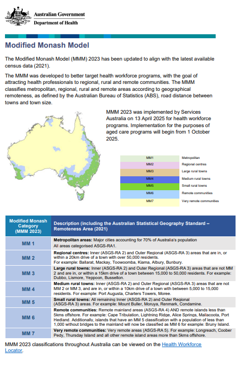
Modified Monash Model – fact sheet
Information about the Modified Monash Model geographical classification. -
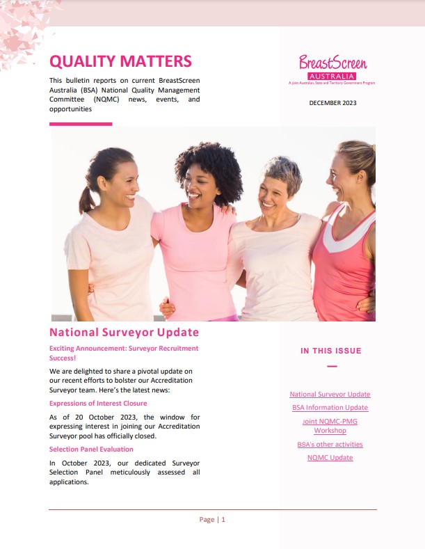
BreastScreen Australia – Quality matters bulletins
These bulletins report on current National Quality Management Committee (NQMC) news, events and opportunities for BreastScreen Australia Services. -
BreastScreen Australia accreditation
BreastScreen Australia Services and State Coordination Units (SCUs) must be accredited every 4 years. These resources are used in the accreditation process. -
Quality of Information and Guidance Industry Working Group Terms of Reference
This document sets out the roles, function, membership and operating guidelines of the Quality of Information and Guidance Industry Working Group. -
Health Budget 2019–20
The 2019–20 Budget was released on 2 April 2019. This collection includes all information related to the 2019–20 Health Portfolio Budget. -
National Aged Care Mandatory Quality Indicator Program Manual 2.0 – Part A
This version of the manual was in effect from 1 July 2021 to 31 March 2023. -
Streamlined Consumer Assessment for Aged Care Consultation – Summary Report of Key Insights
This report provides a summary of the key issues and feedback from the Streamlined Consumer Assessment for Aged Care Consultation. -
Budget 2019–20: More Choices for a Longer Life – enhanced home care support for veterans
This Budget fact sheet outlines how the Government will increase the supplement paid to veterans with a mental health condition related to their service, who are receiving a home care package. -
Budget 2019–20: Guaranteeing Medicare and access to medicines
This set of 2019–20 Health Portfolio Budget fact sheets contain information related to Medicare and access to medicines. -
Budget 2019–20: Supporting our hospitals
This set of 2019–20 Health Portfolio Budget fact sheets contain information related to supporting our hospitals. -
Budget 2019–20: Prioritising mental health, preventive health and sport
This set of 2019–20 Health Portfolio Budget fact sheets contain information related to prioritising mental health, preventive health and sport. -
Budget 2019–20: Life saving and job creating medical research
This set of 2019–20 Health Portfolio Budget fact sheets contain information related to life saving and job creating medical research. -
Budget 2019–20: Ageing and aged care
This set of 2019–20 Health Portfolio Budget fact sheets contain information related to ageing and aged care. -
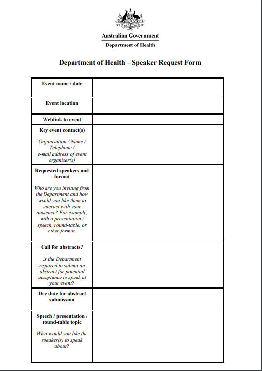
Aged care speaking requests
The Department of Health, Disability and Ageing can provide a speaker to discuss the aged care system for a range of audiences, including the aged care health sector and aged care recipients. Use this form if you would like to request a departmental speaker for your event. -
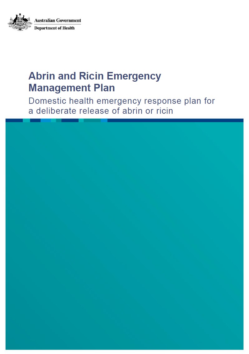
Abrin and Ricin Emergency Management Plan
This emergency management plan outlines how we will coordinate a national health response to a deliberate release of either abrin or ricin in Australia. -
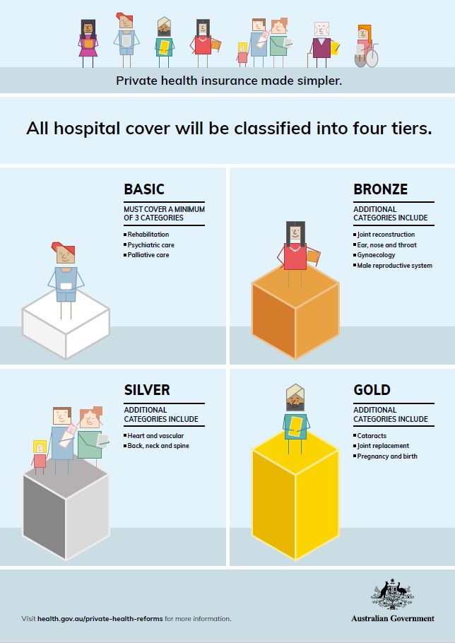
Private health insurance reform infographic
This infographic outlines the government’s reforms to private health insurance. -
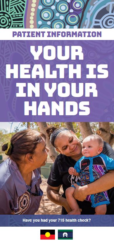
Annual health check for Aboriginal and Torres Strait Islander people – brochure – Your health is in your hands
This brochure outlines the free annual health check available to Aboriginal and Torres Strait Islander people, how it works, and why it's important. -
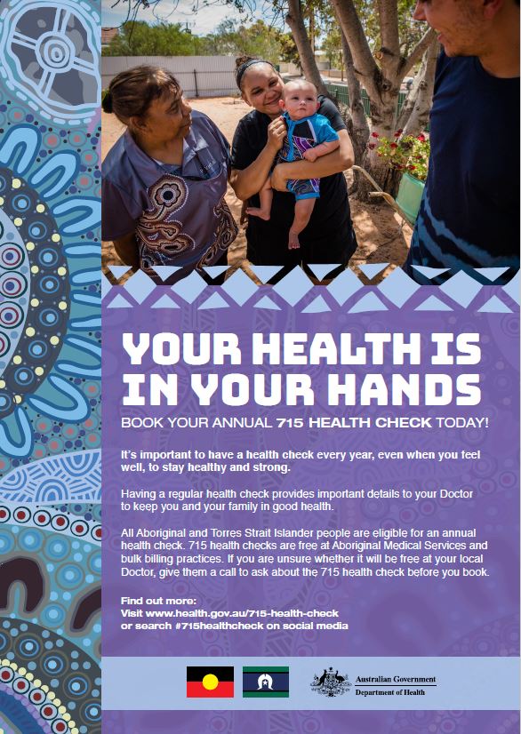
Annual health check for Aboriginal and Torres Strait Islander people – poster – Your health is in your hands
This poster encourages Aboriginal and Torres Strait Islander people to book their free annual health check. -
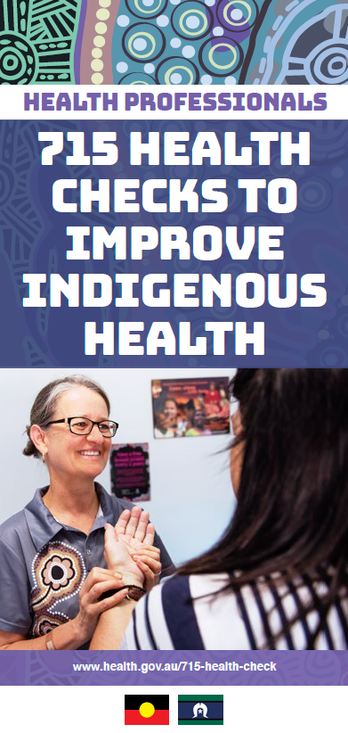
Annual health checks to improve Indigenous health
This brochure explains how the free annual health check for Aboriginal and Torres Strait Islander works, and how services can support patients to get their health check. -
 2:33
2:33Medical Research Future Fund – Dr Glen Begley
Dr Glen Begley (CEO of BioCurate) talks about how the Medical Research Future Fund helps turn groundbreaking Australian research into successful commercial products. -
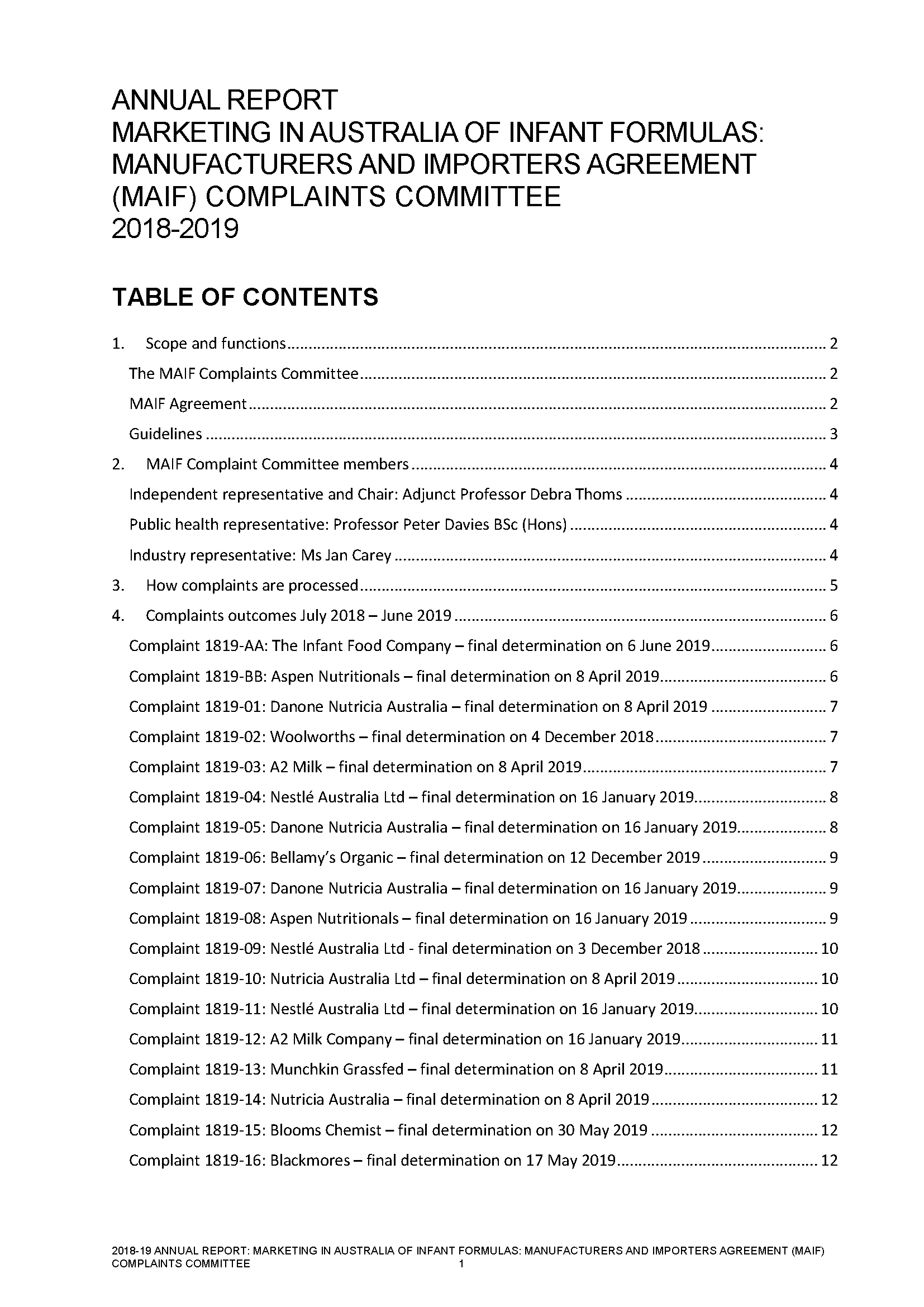
Annual report of the MAIF Agreement Complaints Committee 2018–19
This 2018–19 annual report of the Marketing in Australia of Infant Formulas (MAIF) Agreement Complaints Committee contains information about complaints the committee received in relation to the MAIF Agreement. -
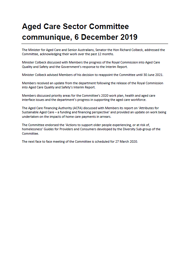
Aged Care Sector Committee 2019 Communiques
Communiques for the 2019 meetings of the Aged Care Sector Committee.