Filter results
You can narrow down the results using the filters
Audience
Topics
Our work
Diseases
11744 results
-
National Obesity Summit – summary of proceedings
This document outlines the proceedings of National Obesity Summit, which brought together experts to look at the causes of obesity and what we can do about it. It was part of the process to develop a National Obesity Strategy. -
National Obesity Summit presentation – Professor Adrian Bauman – Physical activity/sport and mental health benefits – confident and resilient kids
This is the presentation by Professor Adrian Bauman at the National Obesity Summit, which brought together experts to look at the causes of obesity and what we can do about it. The summit was part of the process to develop a National Obesity Strategy. -
National Obesity Summit presentation – Professor Andrew Wilson – Obesity and chronic conditions
This is the presentation by Professor Andrew Wilson at the National Obesity Summit, which brought together experts to look at the causes of obesity and what we can do about it. The summit was part of the process to develop a National Obesity Strategy. -
National Obesity Summit presentation – Professor Anna Peeters – Population diet solutions in retail settings
This is the presentation by Professor Anna Peeters at the National Obesity Summit, which brought together experts to look at the causes of obesity and what we can do about it. The summit was part of the process to develop a National Obesity Strategy. -
National Obesity Summit presentation – Dr Bruce Bolam – Local government and place-based approaches for primary prevention of obesity
This is the presentation by Dr Bruce Bolam at the National Obesity Summit, which brought together experts to look at the causes of obesity and what we can do about it. The summit was part of the process to develop a National Obesity Strategy. -
National Obesity Summit presentation – Professor Deborah Lupton – New technologies, weight management and good health: opportunities and risks
This is the presentation by Professor Deborah Lupton at the National Obesity Summit, which brought together experts to look at the causes of obesity and what we can do about it. The summit was part of the process to develop a National Obesity Strategy. -
National Obesity Summit presentation – Professor Dick Telford
This is the presentation by Professor Dick Telford at the National Obesity Summit, which brought together experts to look at the causes of obesity and what we can do about it. The summit was part of the process to develop a National Obesity Strategy. -
National Obesity Summit presentation – Associate Professor Gary Sacks – What does the future look like for obesity prevention?
This is the presentation by Associate Professor Gary Sacks at the National Obesity Summit, which brought together experts to look at the causes of obesity and what we can do about it. The summit was part of the process to develop a National Obesity Strategy. -
National Obesity Summit presentation – Dr Georgia Rigas – Obesity management: what primary care is doing well and future opportunities
This is the presentation by Dr Georgia Rigas at the National Obesity Summit, which brought together experts to look at the causes of obesity and what we can do about it. The summit was part of the process to develop a National Obesity Strategy. -
National Obesity Summit presentation – Dr Jessica Bogard – A food systems approach to addressing obesity
This is the presentation by Dr Jessica Bogard at the National Obesity Summit, which brought together experts to look at the causes of obesity and what we can do about it. The summit was part of the process to develop a National Obesity Strategy. -
National Obesity Summit presentation – Dr Jo Mitchell – The NSW experience: The Premier’s priority to reduce childhood obesity
This is the presentation by Dr Jo Mitchell at the National Obesity Summit, which brought together experts to look at the causes of obesity and what we can do about it. The summit was part of the process to develop a National Obesity Strategy. -
National Obesity Summit presentation – Professor Joe Proietto – The future of pharmacotherapy for obesity
This is the presentation by Professor Joe Proietto at the National Obesity Summit, which brought together experts to look at the causes of obesity and what we can do about it. The summit was part of the process to develop a National Obesity Strategy. -
National Obesity Summit presentation – Professor Louise Baur – Obesity and the first 2,000 days
This is the presentation by Professor Louise Baur at the National Obesity Summit, which brought together experts to look at the causes of obesity and what we can do about it. The summit was part of the process to develop a National Obesity Strategy. -
National Obesity Summit presentation – Dr Peter Molloy – Genetics, epigenetics and obesity
This is the presentation by Dr Peter Molloy at the National Obesity Summit, which brought together experts to look at the causes of obesity and what we can do about it. The summit was part of the process to develop a National Obesity Strategy. -

National Obesity Summit presentation – Professor Susan Jebb – Policy initiatives to tackle obesity in England
This is the presentation by Professor Susan Jebb at the National Obesity Summit, which brought together experts to look at the causes of obesity and what we can do about it. The summit was part of the process to develop a National Obesity Strategy. -
National Obesity Summit presentation – Professor Wendy Brown – Changing weight gain trajectories for young adults
This is the presentation by Professor Wendy Brown at the National Obesity Summit, which brought together experts to look at the causes of obesity and what we can do about it. The summit was part of the process to develop a National Obesity Strategy. -
National Obesity Summit resource collection
This collection contains all the documents and presentations from the National Obesity Summit held in 2019. This summit was part of the process to develop a National Obesity Strategy. -
Australian Government Diversity Action Plan
This 2019 plan sets out the actions the Government will take to support the Aged Care Diversity Framework. -

National guidelines for managing HIV transmission risk behaviours
These guidelines help Chief Health Officers ensure consistency in the way all Australian states and territories manage HIV transmission risk behaviours. -
Actions to Support Older Aboriginal and Torres Strait Islander People: a Guide for Consumers
This guide helps older Aboriginal and Torres Strait Islander peoples to express their needs when speaking with aged care providers. It can also help people working in aged care to better understand the needs of Aboriginal and Torres Strait Islander peoples. -
Actions to Support LGBTI Elders: a Guide for Consumers
This guide helps lesbian, gay, bisexual, trans and gender diverse, and intersex (LGBTI) elders to express their needs when speaking with aged care providers. It can also help people working in aged care to better understand LGBTI needs. -
Specialist Disability Accommodation Pricing and Payments Framework Review: Final Report
Specialist Disability Accommodation Pricing and Payments Framework Review: Final Report -
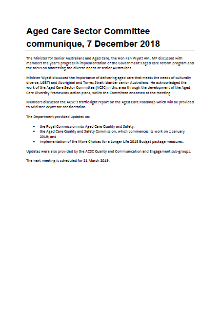
Aged Care Sector Committee 2018 Communiques
Communiques for the 2018 meetings of the Aged Care Sector Committee. -
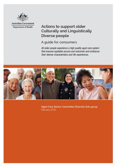
Actions to Support Older CALD People: a Guide for Consumers
This guide helps older people from culturally and linguistically diverse (CALD) backgrounds to express their needs when speaking with aged care providers. It can also help people working in aged care to better understand CALD needs. -
2015 Aged Care Planning Region maps
This collection contains the 2015 planning region maps for each state and territory, the correspondence of planning regions to Statistical Areas Level 2 (SA2s), and the planning region shapefile.