
Filter results
You can narrow down the results using the filters
Audience
Topics
Our work
Diseases
11609 results
-
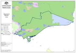
Gippsland (Vic) Primary Health Network (PHN) map – Modified Monash Model (MMM) remoteness area
This map shows the Modified Monash Model remoteness area classifications of the Gippsland (Vic) Primary Health Network. -

Gippsland (Vic) Primary Health Network (PHN) map – socioeconomic disadvantage
This map shows the most socioeconomically disadvantaged areas within the Gippsland (Vic) Primary Health Network. -

Gippsland (Vic) Primary Health Network (PHN) map – topographic
This map shows the geographical area of the Gippsland (Vic) Primary Health Network. -
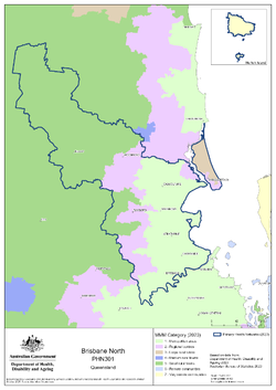
Brisbane North (Qld) Primary Health Network (PHN) map – Modified Monash Model (MMM) remoteness area
This map shows the Modified Monash Model remoteness area classifications of the Brisbane North (Qld) Primary Health Network. -

Brisbane North (Qld) Primary Health Network (PHN) map – socioeconomic disadvantage
This map shows the most socioeconomically disadvantaged areas within the Brisbane North (Qld) Primary Health Network. -

Brisbane North (Qld) Primary Health Network (PHN) map – topographic
This map shows the geographical area of the Brisbane North (Qld) Primary Health Network. -

Brisbane South (Qld) Primary Health Network (PHN) map – Modified Monash Model (MMM) remoteness area
This map shows the Modified Monash Model remoteness area classifications of the Brisbane South (Qld) Primary Health Network. -

Brisbane South (Qld) Primary Health Network (PHN) map – socioeconomic disadvantage
This map shows the most socioeconomically disadvantaged areas within the Brisbane South (Qld) Primary Health Network. -

Brisbane South (Qld) Primary Health Network (PHN) map – topographic
This map shows the geographical area of the Brisbane South (Qld) Primary Health Network. -

Central Queensland, Wide Bay, Sunshine Coast Primary Health Network (PHN) map – Modified Monash Model (MMM) remoteness area
This map shows the Modified Monash Model remoteness area classifications of the Central Queensland, Wide Bay, Sunshine Coast Primary Health Network. -

Central Queensland, Wide Bay, Sunshine Coast Primary Health Network (PHN) map – socioeconomic disadvantage
This map shows the most socioeconomically disadvantaged areas within the Central Queensland, Wide Bay, Sunshine Coast Primary Health Network. -

Central Queensland, Wide Bay, Sunshine Coast Primary Health Network (PHN) map – topographic
This map shows the geographical area of the Central Queensland, Wide Bay, Sunshine Coast Primary Health Network. -

Darling Downs and West Moreton (Qld) Primary Health Network (PHN) map – Modified Monash Model (MMM) remoteness area
This map shows the Modified Monash Model remoteness area classifications of the Darling Downs and West Moreton (Qld) Primary Health Network. -
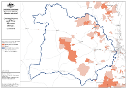
Darling Downs and West Moreton (Qld) Primary Health Network (PHN) map – socioeconomic disadvantage
This map shows the most socioeconomically disadvantaged areas within the Darling Downs and West Moreton (Qld) Primary Health Network. -
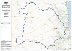
Darling Downs and West Moreton (Qld) Primary Health Network (PHN) map – topographic
This map shows the geographical area of the Darling Downs and West Moreton (Qld) Primary Health Network. -
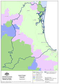
Gold Coast (Qld) Primary Health Network (PHN) map – Modified Monash Model (MMM) remoteness area
This map shows the Modified Monash Model remoteness area classifications of the Gold Coast (Qld) Primary Health Network. -

Gold Coast (Qld) Primary Health Network (PHN) map – socioeconomic disadvantage
This map shows the most socioeconomically disadvantaged areas within the Gold Coast (Qld) Primary Health Network. -
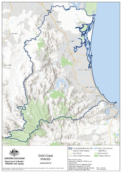
Gold Coast (Qld) Primary Health Network (PHN) map – topographic
This map shows the geographical area of the Gold Coast (Qld) Primary Health Network. -
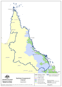
Northern Queensland Primary Health Network (PHN) map – Modified Monash Model (MMM) remoteness area
This map shows the Modified Monash Model remoteness area classifications of the Northern Queensland Primary Health Network. -

Northern Queensland Primary Health Network (PHN) map – socioeconomic disadvantage
This map shows the most socioeconomically disadvantaged areas within the Northern Queensland Primary Health Network. -
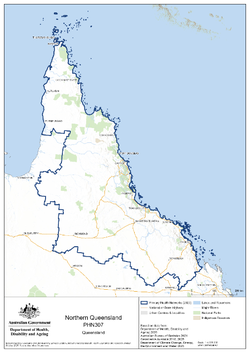
Northern Queensland Primary Health Network (PHN) map – topographic
This map shows the geographical area of the Northern Queensland Primary Health Network. -
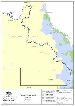
Western Queensland Primary Health Network (PHN) map – Modified Monash Model (MMM) remoteness area
This map shows the Modified Monash Model remoteness area classifications of the Western Queensland Primary Health Network. -

Western Queensland Primary Health Network (PHN) map – socioeconomic disadvantage
This map shows the most socioeconomically disadvantaged areas within the Western Queensland Primary Health Network. -
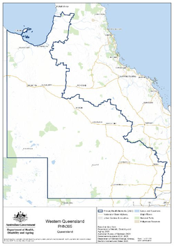
Western Queensland Primary Health Network (PHN) map – topographic
This map shows the geographical area of the Western Queensland Primary Health Network. -
Review of the remoteness classification system for aged care – Consultation summary report
This report provides information on key insights and themes from the consultation phase of the department’s review of the remoteness classification system known as the Modified Monash Model (MMM).