
Filter results
You can narrow down the results using the filters
Audience
Topics
Our work
Diseases
11451 results
-
 6:26
The National Best Practice Framework for Early Childhood Intervention – Mulungu Connected Beginnings
Members of the Mulungu Connected Beginnings team in north Queensland describe what works well to support young children with developmental concerns, delays and disabilities, and their families. -
 4:24
The National Best Practice Framework for Early Childhood Intervention – Ngroo Connected Beginnings
Members of the Ngroo Connected Beginnings team in western Sydney describe what works well to support young children with developmental concerns, delays and disabilities, and their families. -

Australian Capital Territory (ACT) Primary Health Network (PHN) map – Modified Monash Model (MMM) remoteness area
This map shows the Modified Monash Model remoteness area classifications of the Australian Capital Territory Primary Health Network. -

Australian Capital Territory (ACT) Primary Health Network (PHN) map – socioeconomic disadvantage
This map shows the most socioeconomically disadvantaged areas within the Australian Capital Territory Primary Health Network. -

Australian Capital Territory (ACT) Primary Health Network (PHN) map – topographic
This map shows the geographical area of the Australian Capital Territory Primary Health Network. -
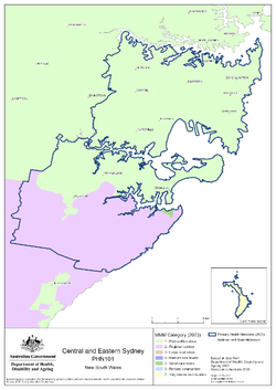
Central and Eastern Sydney (NSW) Primary Health Network (PHN) map – Modified Monash Model (MMM) remoteness area
This map shows the Modified Monash Model remoteness area classifications of the Central and Eastern Sydney (NSW) Primary Health Network. -

Central and Eastern Sydney (NSW) Primary Health Network (PHN) map – socioeconomic disadvantage
This map shows the most socioeconomically disadvantaged areas within the Central and Eastern Sydney (NSW) Primary Health Network. -

Central and Eastern Sydney (NSW) Primary Health Network (PHN) map – topographic
This map shows the geographical area of the Central and Eastern Sydney (NSW) Primary Health Network. -
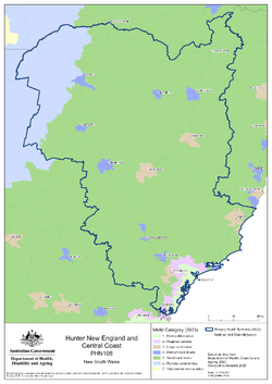
Hunter, New England and Central Coast (NSW) Primary Health Network (PHN) map – Modified Monash Model (MMM) remoteness area
This map shows the Modified Monash Model remoteness area classifications of the Hunter, New England and Central Coast (NSW) Primary Health Network. -

Hunter, New England and Central Coast (NSW) Primary Health Network (PHN) map – socioeconomic disadvantage
This map shows the most socioeconomically disadvantaged areas within the Hunter, New England and Central Coast (NSW) Primary Health Network. -

Hunter, New England and Central Coast (NSW) Primary Health Network (PHN) map – topographic
This map shows the geographical area of the Hunter, New England and Central Coast (NSW) Primary Health Network. -
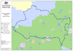
Murrumbidgee (NSW) Primary Health Network (PHN) map – Modified Monash Model (MMM) remoteness area
This map shows the Modified Monash Model remoteness area classifications of the Murrumbidgee (NSW) Primary Health Network. -

Murrumbidgee (NSW) Primary Health Network (PHN) map – socioeconomic disadvantage
This map shows the most socioeconomically disadvantaged areas within the Murrumbidgee (NSW) Primary Health Network. -

Murrumbidgee (NSW) Primary Health Network (PHN) map – topographic
This map shows the geographical area of the Murrumbidgee (NSW) Primary Health Network. -
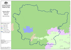
Nepean Blue Mountains (NSW) Primary Health Network (PHN) map – Modified Monash Model (MMM) remoteness area
This map shows the Modified Monash Model remoteness area classifications of the Nepean Blue Mountains (NSW) Primary Health Network. -

Nepean Blue Mountains (NSW) Primary Health Network (PHN) map – socioeconomic disadvantage
This map shows the most socioeconomically disadvantaged areas within the Nepean Blue Mountains (NSW) Primary Health Network. -

Nepean Blue Mountains (NSW) Primary Health Network (PHN) map – topographic
This map shows the geographical area of the Nepean Blue Mountains (NSW) Primary Health Network. -

Northern Territory (NT) Primary Health Network (PHN) map – Modified Monash Model (MMM) remoteness area
This map shows the Modified Monash Model remoteness area classifications of the Northern Territory Primary Health Network. -

Northern Territory (NT) Primary Health Network (PHN) map – socioeconomic disadvantage
This map shows the most socioeconomically disadvantaged areas within the Northern Territory Primary Health Network. -
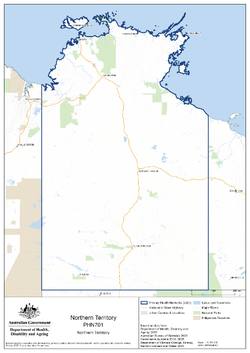
Northern Territory (NT) Primary Health Network (PHN) map – topographic
This map shows the geographical area of the Northern Territory Primary Health Network. -
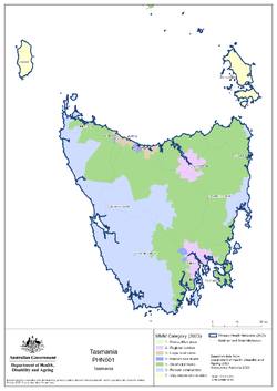
Tasmania Primary Health Network (PHN) map – Modified Monash Model (MMM) remoteness area
This map shows the Modified Monash Model remoteness area classifications of the Tasmania Primary Health Network. -

Tasmania Primary Health Network (PHN) map – socioeconomic disadvantage
This map shows the most socioeconomically disadvantaged areas within the Tasmania Primary Health Network. -

Tasmania Primary Health Network (PHN) map – topographic
This map shows the geographical area of the Tasmania Primary Health Network. -
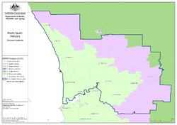
Perth North (WA) Primary Health Network (PHN) map – Modified Monash Model (MMM) remoteness area
This map shows the Modified Monash Model remoteness area classifications of the Perth North (WA) Primary Health Network. -

Perth North (WA) Primary Health Network (PHN) map – socioeconomic disadvantage
This map shows the most socioeconomically disadvantaged areas within the Perth North (WA) Primary Health Network.