Filter results
You can narrow down the results using the filters
Audience
Topics
Our work
Diseases
11321 results
-
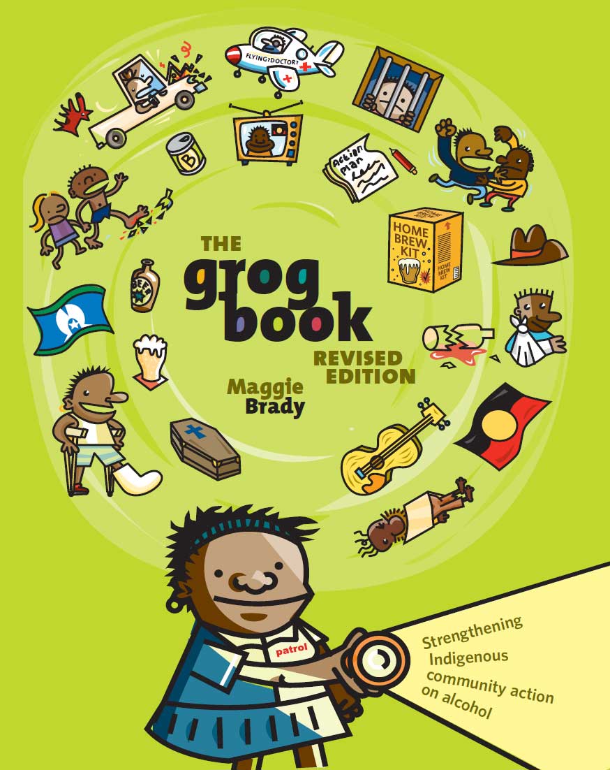
The grog book – strengthening indigenous community action on alcohol
The grog book is a practical guide to dealing with alcohol in Aboriginal and Torres Strait Islander communities. It includes case studies and ideas that can be tried out to help reduce harms caused by alcohol misuse. -
Final clinical committee report for Dermatology, Allergy and Immunology
This report contains the recommendations the Dermatology, Allergy and Immunology Clinical Committee made to the MBS Review Taskforce, after public consultation. -
Final clinical committee report for Spinal Surgery
This report contains the recommendations the Spinal Surgery Clinical Committee made to the MBS Review Taskforce, after public consultation. -
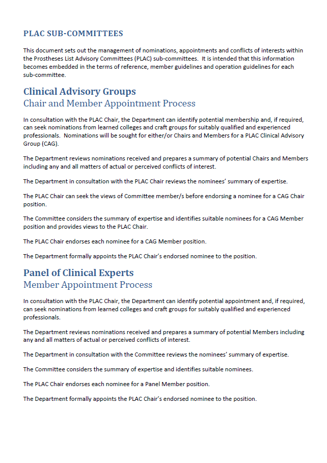
Clinical Advisory Groups and Panel of Clinical Experts Nomination and Appointment Process
This document sets out the process to nominate and appoint chairs and members of the Clinical Advisory Groups and the Panel of Clinical Experts. -
Dermatology – Australia’s Future Health Workforce report
This report outlines an analysis of the dermatology workforce and the results of updated supply and demand projections, as well as considering capacity and distribution for vocational training into the future. It is part of our series on Australia’s Future Health Workforce. -
Taskforce-endorsed report – Anaesthesia Clinical Committee
This report includes recommendations from the Anaesthesia Clinical Committee, which the Medicare Benefits Schedule (MBS) Review Taskforce revised and endorsed following consultation with stakeholders. -
Review of Legislation for Refundable Accommodation Payments in Residential Aged Care
The review looked at how the Australian Government can improve legislative and prudential standards for refundable accommodation payments. The review report recommends actions and suggests a timetable for recommended changes. -
Literature review of international biosimilar medicines update – December 2016 to March 2017
This reports updates a literature review that looked at international and Australian clinical, academic and policy journals, as well as media articles or sources in relation to biosimilar medicines, to help inform policy development and communication activities. It covers December 2016 to March 2017 -
Governments’ Statement on the Analysis of the Australian Eye and Tissue Sector
The Australian Government and state and territory governments’ collective response to PricewaterhouseCoopers’ analysis of the Australian Eye and Tissue Sector (2015). -
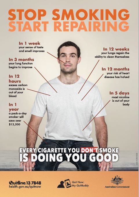
Stop smoking start repairing – health benefits for men
This poster shows how your body starts repairing once you stop smoking. -
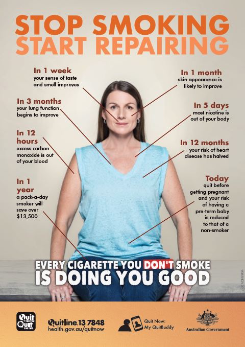
Stop smoking start repairing – health benefits for women
This poster shows how your body starts repairing once you stop smoking. -
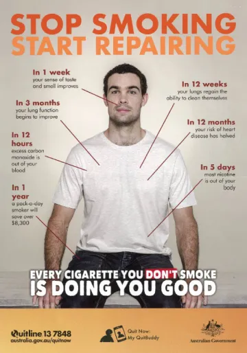
National Tobacco Campaign – resources
These resources are part of the National Tobacco Campaign. The campaign aims to reduce smoking rates in Australia. -
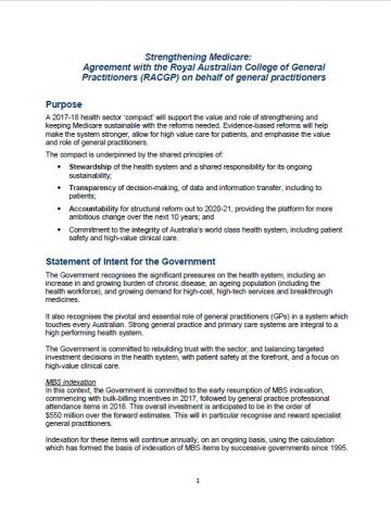
Landmark compact with the Royal Australian College of General Practitioners (RACGP)
This agreement between the Australian Government and the RACGP sets out their shared principles and vision for a stronger Medicare and health system and their intended actions. -
Evaluation of the Rheumatic Fever Strategy
We commissioned this 2017 evaluation of the Australian Government’s Rheumatic Fever Strategy (RFS). The findings informed the Australian Government’s decisions on the continued funding and expansion of the RFS, announced through the 2017–18 Budget. -
Health Portfolio Budget Statements 2017–18
The Health Portfolio Budget Statements for the 2017 to 2018 financial year outline how the Government has allocated resources to outcomes for all entities within our portfolio. -
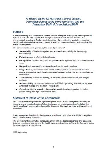
Landmark compact with the Australian Medical Association (AMA)
This agreement between the Australian Government and the AMA sets out their shared principles and vision for a stronger health care system in Australia and their intended actions. -
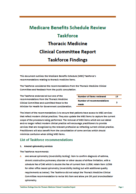
Taskforce findings – Thoracic Medicine Clinical Committee report
This document summarises the Medicare Benefits Schedule (MBS) Review Taskforce’s recommendations in response to the Thoracic Medicine Clinical Committee report. -
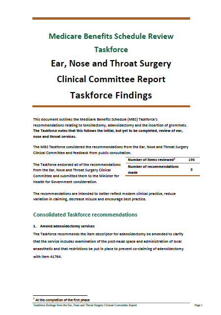
Taskforce findings – Ear, Nose and Throat Surgery Clinical Committee report
This document summarises the Medicare Benefits Schedule (MBS) Review Taskforce’s recommendations in response to the Ear, Nose and Throat Surgery Clinical Committee report. -
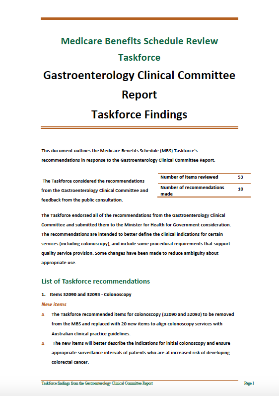
Taskforce findings – Gastroenterology Clinical Committee report
This document summarises the Medicare Benefits Schedule (MBS) Review Taskforce’s recommendations in response to the Gastroenterology Clinical Committee report. -
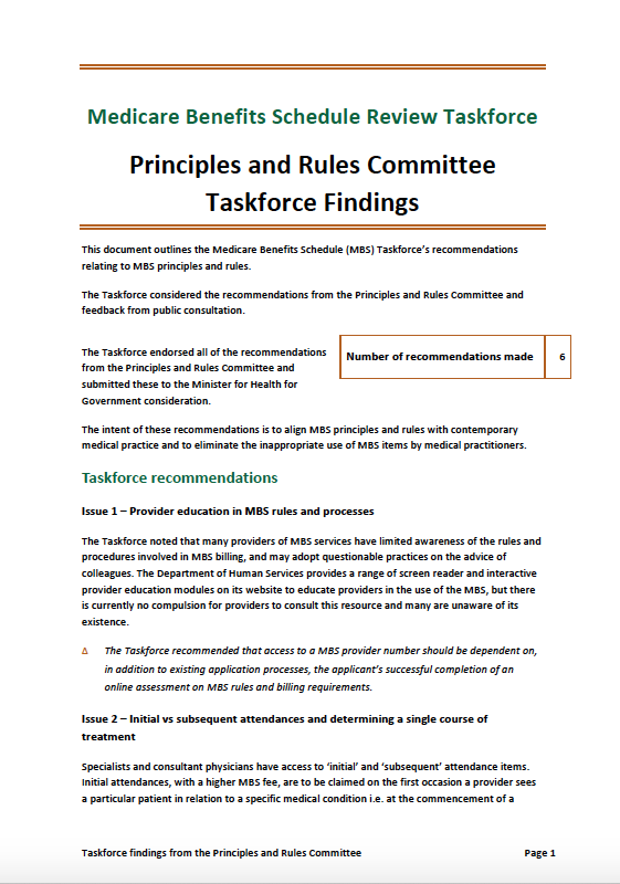
Taskforce findings – Principles and Rules report
This document summarises the Medicare Benefits Schedule (MBS) Review Taskforce’s recommendations in response to the Principles and Rules report. -
BreastScreen Australia – DGMA data assessor report (BSA303)
Data Assessors use this form to record their accreditation survey findings from undertaking a Data Governance and Management Assessment (DGMA) of a BreastScreen Australia Service or State Coordination Unit (SCU). -
BreastScreen Australia – Response by Service/SCU to Data Assessor report (BSA304)
BreastScreen Australia services and State Coordination Units (SCUs) use this form to respond to the Data Assessor’s report and any comments made by the assessor. -
Review of the National Mental Health Commission
This report from Deloitte looks at the role of the National Mental Health Commission and explores ways it could be improved. -
Taskforce findings – Obstetrics Clinical Committee report
This document summarises the Medicare Benefits Schedule (MBS) Review Taskforce’s recommendations in response to the Obstetrics Clinical Committee report. -
Stakeholder engagement framework
We want to work effectively with our stakeholders — to listen, learn and continue to improve our performance. To do this we use 5 principles to help our engagement. We are purposeful, inclusive, timely, transparent and respectful.