Filter results
You can narrow down the results using the filters
Audience
Publication type
Topics
Our work
Diseases
9534 results
-
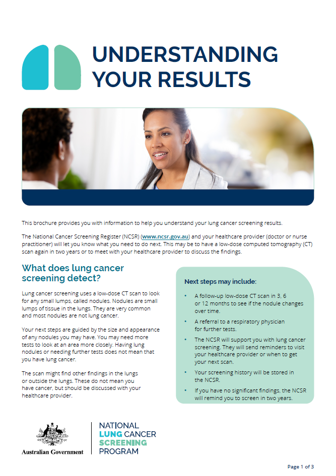
National Lung Cancer Screening Program – Understanding your results
This fact sheet provides information to help you understand your lung cancer screening results including next steps and where to go for support. -
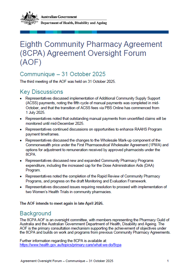
Eighth Community Pharmacy Agreement Oversight Forum – Communique – 31 October 2025
Learn what the AOF discussed at its third meeting held on 31 October 2025. -
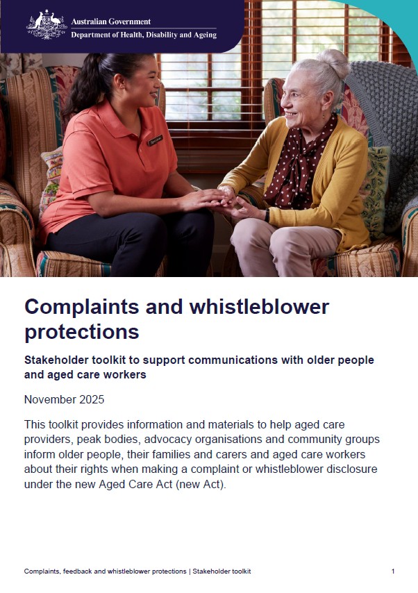
Complaints and whistleblower protections
This toolkit provides information and materials to help aged care providers communicate with older people, their families and carers and workers about their rights when making a complaint or whistleblower disclosure. -
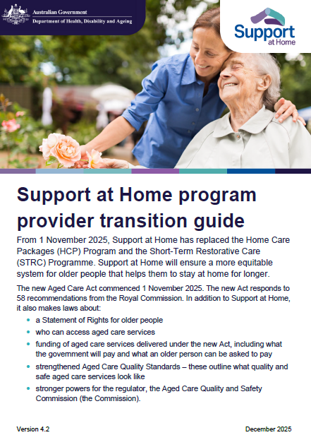
Support at Home program provider transition guide
This document gives guidance on the actions Home Care Package providers and Short-Term Restorative Care providers should take to be operationally ready to transition to the Support at Home program. -
Social and Emotional Wellbeing Policy Partnership communique – Meeting 7
This communique is a summary of the Social and Emotional Wellbeing Policy Partnership meeting on 5 December 2025. -

IOC communique – 13 November 2025
The Strengthening Medicare Implementation Oversight Committee (IOC) met on 13 November 2025 for its fifth formal meeting. This document provides a record of the meeting. -
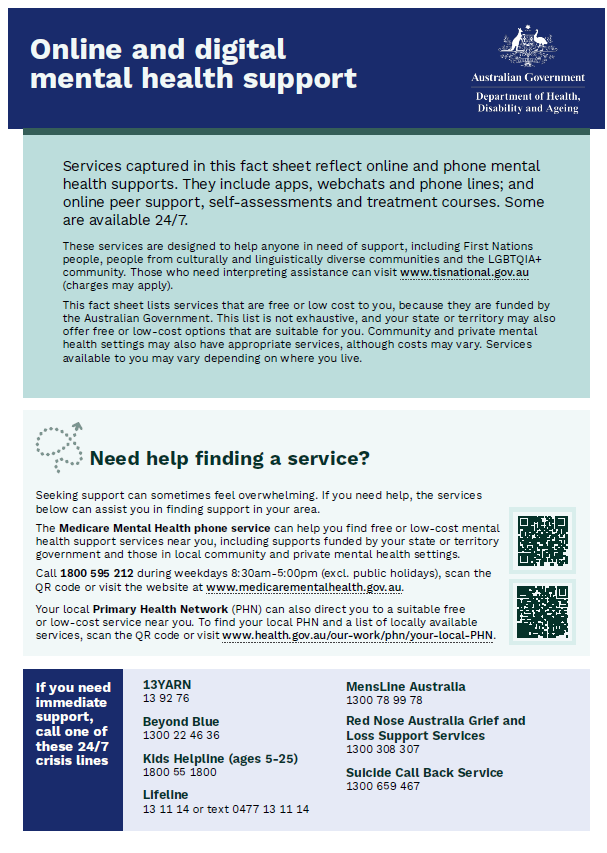
Patient resource – Australian Government-funded online and digital mental health support
A resource for patients outlining available Australian Government-funded online and digital mental health supports. -
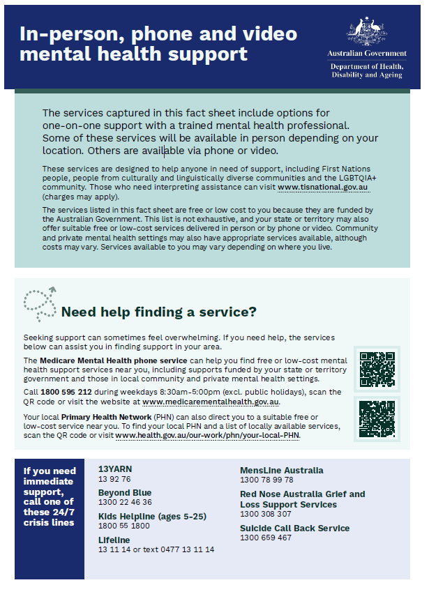
Patient resource – Australian Government-funded in-person, phone and video mental health support
A resource for patients outlining available Australian Government-funded in-person, phone and video mental health supports. -
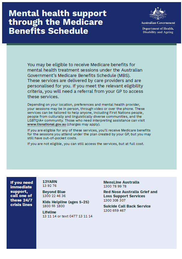
Patient resource – Australian Government-funded mental health support through the Medicare Benefits Schedule
A resource for patients outlining available Australian Government-funded mental health supports through the Medicare Benefits Schedule. -
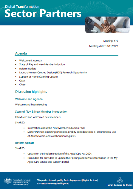
Digital Transformation Sector Partners meeting summary – 13 November 2025
This document summarises the discussion and outcomes of the Digital Transformation Sector Partners meeting held on 13 November 2025. -

Digital Transformation Sector Partners slide presentation – 27 November 2025
This document contains the slide presentation from the Digital Transformation Sector Partners meeting held on 27 November 2025. -

Digital Transformation Sector Partners slide presentation – 13 November 2025
This document contains the slide presentation from the Digital Transformation Sector Partners meeting held on 13 November 2025. -
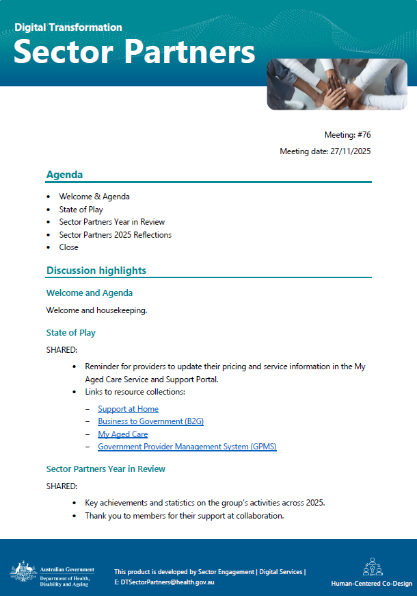
Digital Transformation Sector Partners meeting summary – 27 November 2025
This document summarises the discussion and outcomes of the Digital Transformation Sector Partners meeting held on 27 November 2025. -

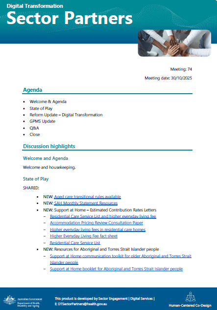
Digital Transformation Sector Partners slide presentation – 30 October 2025
This document contains the slide presentation from the Digital Transformation Sector Partners meeting held on 30 October 2025 -
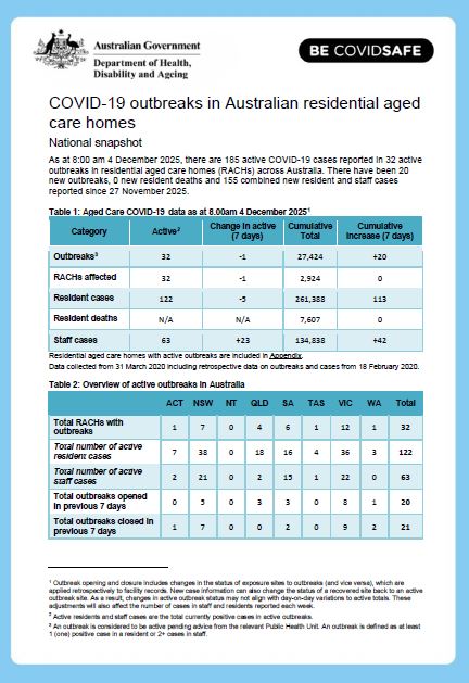
COVID-19 outbreaks in Australian residential aged care homes – 5 December 2025
This weekly report provides a snapshot of data on the impact of COVID-19 in residential aged care facilities nationally in 2025. It includes data on the number of services impacted and number of staff and resident cases, as well as workforce, vaccine rollout, testing and PPE provided to services. -
Digital Transformation Sector Partners meeting summary – 30 October 2025
This document summarises the discussion and outcomes of the Digital Transformation Sector Partners meeting held on 30 October 2025. -

Statement on automated administrative actions
This statement is made for the purposes of subsection 583(6) of the Aged Care Act 2024. This provision requires the System Governor to publish a statement on the Department’s website which gives details on the automated arrangements and the provisions of the Act to which they relate. -

My Aged Care Service and Support Portal overview – Presentation slides
Presentation slides from Webinar 12: Aged care reforms – Impacts on the MPS program and providers providing an overview of the My Aged Care Service and Support Portal. -
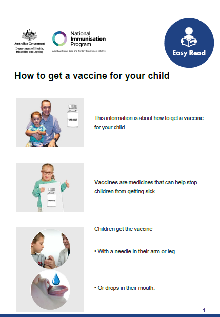
How to get a vaccine for your child – Easy Read
This Easy Read fact sheet tells you how to get vaccines for your child and how to get your child’s information ready for the appointment. -
PBS approved suppliers portal – How to submit an application to relocate (with a change of ownership) an approved pharmacy
This guide provides instructions on how to navigate the PBS Approved Suppliers Portal, complete the online application form and submit an application to relocate (with a change of ownership) an approved pharmacy to supply pharmaceutical benefits at particular premises. -

PBS approved suppliers portal – How to submit an application to expand or contract the size of an approved pharmacy
This user guide provides instructions on how to navigate the PBS Approved Suppliers Portal, complete the online application form and submit an application for approval to expand or contract the size of an approved pharmacy. -

PBS approved suppliers portal – How to upload PDF forms or additional requested information
This guide provides instructions on how to upload PBS Approved Supplier PDF forms (and related attachments) and additional requested information via the PBS Approved Suppliers Portal (Portal) using the Upload Documents function. -
PBS approved suppliers portal – How to submit an application to establish a new pharmacy
This guide provides instructions on how to navigate the PBS Approved Suppliers Portal, complete the online application form and submit an application to establish a new pharmacy to supply pharmaceutical benefits at particular premises. -
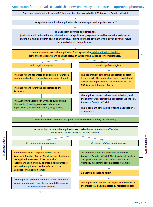
ACPA application process map flowchart
This flowchart shows the process for applying for approval to establish a new pharmacy or relocate an approved pharmacy. -
PBS approved suppliers portal – How to register and sign in to the PBS approved suppliers portal
This user guide shows users instructions on how to register and sign in to the PBS approved suppliers portal.