Filter results
You can narrow down the results using the filters
Audience
Publication type
Topics
Our work
Diseases
9534 results
-
National Lung Cancer Screening Program – What is the NLCSP? – Brochure
This brochure provides key information on the National Lung Cancer Screening Program including eligibility criteria, how to access a scan and what you need to do after a scan is completed. This brochure is also available in fact sheet format. -
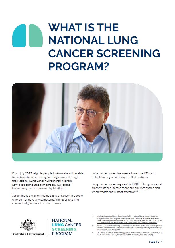
National Lung Cancer Screening Program – What is the NLCSP? – Fact sheet
This fact sheet provides key information on the National Lung Cancer Screening Program including eligibility criteria, how to access a scan and what you need to do after a scan is completed. This fact sheet is also available in brochure format. -
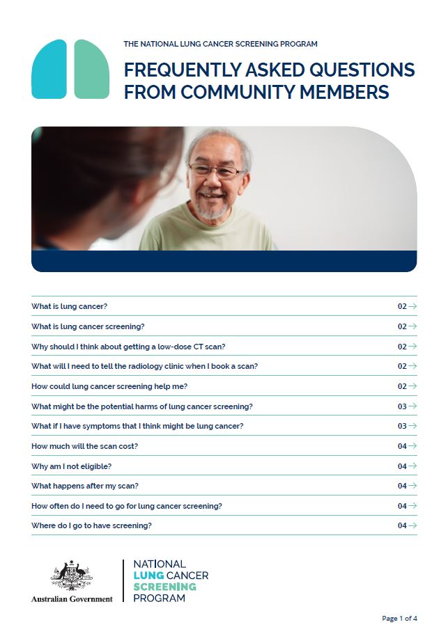
National Lung Cancer Screening Program – Frequently asked questions from community members
This fact sheet provides information about the National Lung Cancer Screening Program, lung cancer and symptoms, the low-dose CT scan and general questions about lung cancer screening. -

Better Renal Services – Analytics needs assessment report
The Department and Better Renal Services Steering Committee commissioned the development of a needs assessment report to inform the best possible estimate of need and accessibility of dialysis services in regional and remote Australia, drawing on a range of available datasets. -
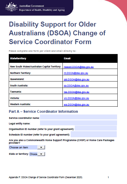
DSOA Program manual – Appendix F – Change of Service Coordinator form
Disability Support for Older Australians service providers must use this form to apply to change a coordinator. -
Associated providers under the Aged Care Act 2024 – Webinar presentation
This presentation was developed to align with questions submitted by the webinar’s participants upon registration to attend the event. It provides detailed information and links to resources on Associated Providers. -
The new regulatory model Guidance for residential aged care providers
This guidance outlines the regulatory changes affecting residential aged care providers under the new Aged Care Act (new Act). The new Act introduced a new regulatory model when it commenced on 1 November 2025. -
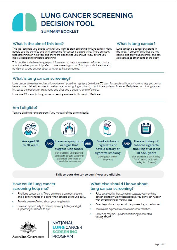
National Lung Cancer Screening Program – Lung cancer screening decision tool – Summary
This document is a 2-page summary of the lung cancer screening decision tool, which is a booklet to support the shared decision-making process for National Lung Cancer Screening Program participants. -
National Lung Cancer Screening Program – Lung cancer screening decision tool
This is a booklet with detailed information on how to support the shared decision-making process for National Lung Cancer Screening Program participants. -
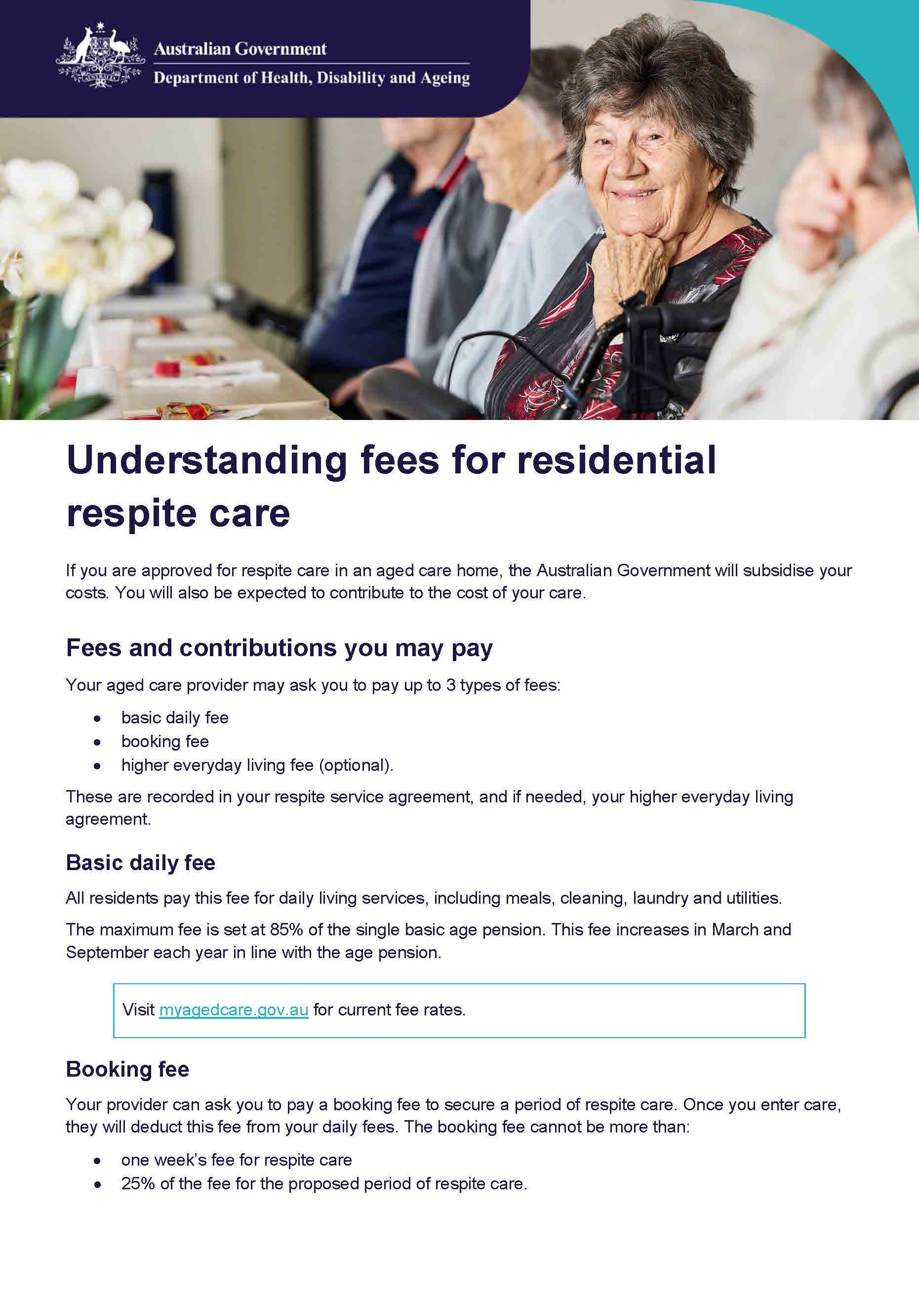
Understanding fees for residential respite care
This fact sheet outlines the fees you may be asked to pay for residential respite care. -
COVID-19 Vaccination Rates in Residential Aged Care – 12 December 2025
This table provides COVID-19 vaccination rates of aged care residents by facility across Australia over the past 12 months, using data from the Australian Immunisation Register. -
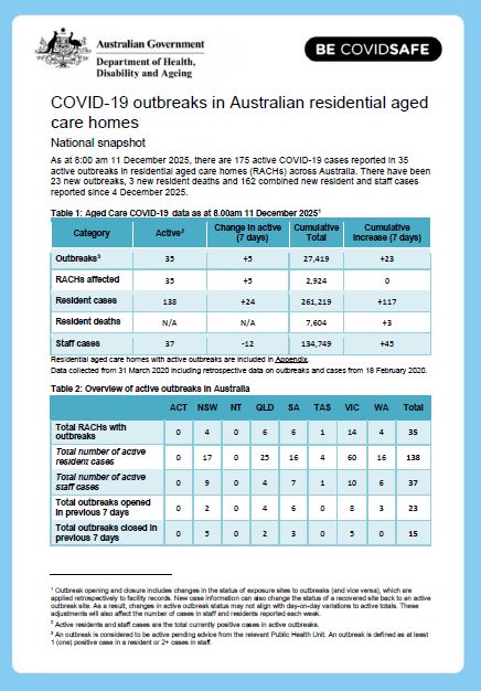
COVID-19 outbreaks in Australian residential aged care homes – 12 December 2025
This weekly report provides a snapshot of data on the impact of COVID-19 in residential aged care facilities nationally in 2025. It includes data on the number of services impacted and number of staff and resident cases, as well as workforce, vaccine rollout, testing and PPE provided to services. -
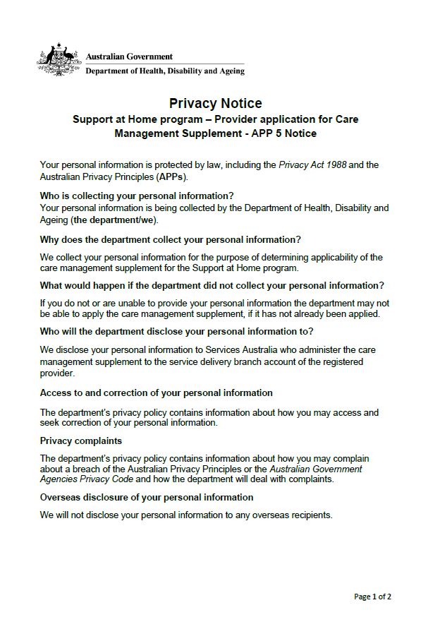
Provider Application for Care Management Supplement – Privacy Notice
This Privacy Notice relates to the protection of information collected in the Provider Application for Care Management Supplement - Form.
-
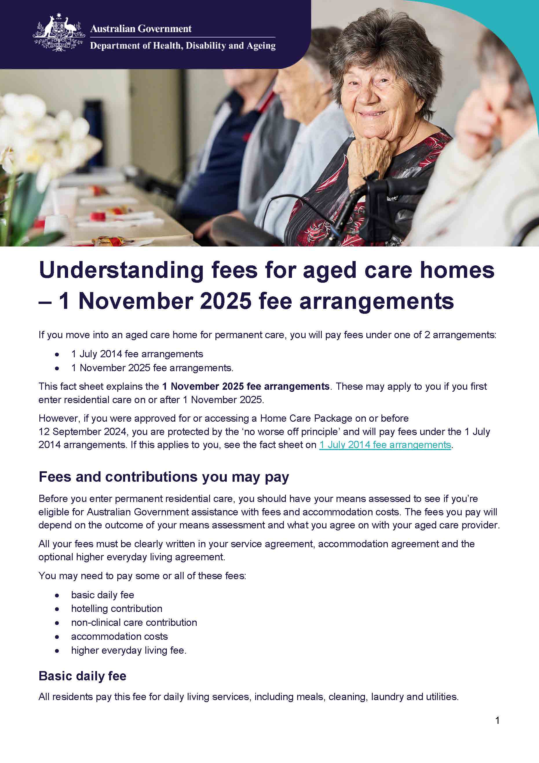
Understanding fees for aged care homes – 1 November 2025 fee arrangements
This fact sheet outlines the fees you may be asked to pay for permanent residential care under the 1 November 2025 fee arrangements. -

Understanding fees for aged care homes – 1 July 2014 fee arrangements
This fact sheet outlines the fees you may be asked to pay for permanent residential care under 1 July 2014 fee arrangements. -

Provider Application for Care Management Supplement – Form
This form is for Support at Home providers to notify the Department of Health, Disability and Ageing (the department) of applicability of the care management supplement as per section 205-10 of the Aged Care Rules 2025.
-
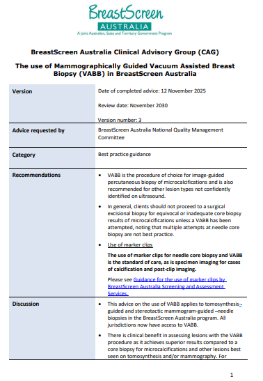
BreastScreen Australia Clinical Advisory Group – The use of Mammographically Guided Vacuum Assisted Breast Biopsy (VABB) in BreastScreen Australia
BreastScreen Australia Clinical Advisory Group endorsed best practice guidance regarding the use of Mammographically Guided Vacuum Assisted Breast Biopsy (VABB) in BreastScreen Australia -

Health Ministers Meeting (HMM) Communique – 12 December 2025
Health Ministers met in Perth today to discuss several health system reform priorities -
Years in Review 2023-25 – Strengthening Medicare Monitoring Report
The Years in Review 2023-25 is the first strengthening Medicare monitoring report released under the Strenghtening Medicare Monitoring and Evaluation Framework. The report details the first two years of reforms which strengthen Medicare. -
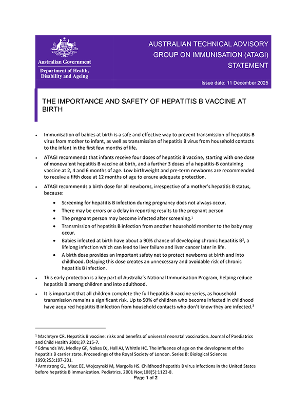
ATAGI statement on the importance and safety of Hepatitis B vaccine at birth.
Australian Technical Advisory Group on Immunisation (ATAGI) advice regarding the importance and safety of Hepatitis B vaccine at birth. -
BreastScreen Australia Clinical Advisory Group advice – The role of bilateral tomosynthesis in BreastScreen Australia assessment
BreastScreen Australia Clinical Advisory Group endorsed best practice guidance regarding the role of bilateral tomosynthesis in BreastScreen Australia assessment. -
BreastScreen Australia Clinical Advisory Group – Management of women with cosmetic breast injections in BreastScreen Australia
BreastScreen Australia Clinical Advisory Group endorsed advice regarding the management of women with cosmetic breast injections in BreastScreen Australia -
National Lung Cancer Screening Program – Quality Framework
This framework defines the standards used to monitor the quality of the National Lung Cancer Screening Program. It lists the principles of quality and explains how they are applied.
-
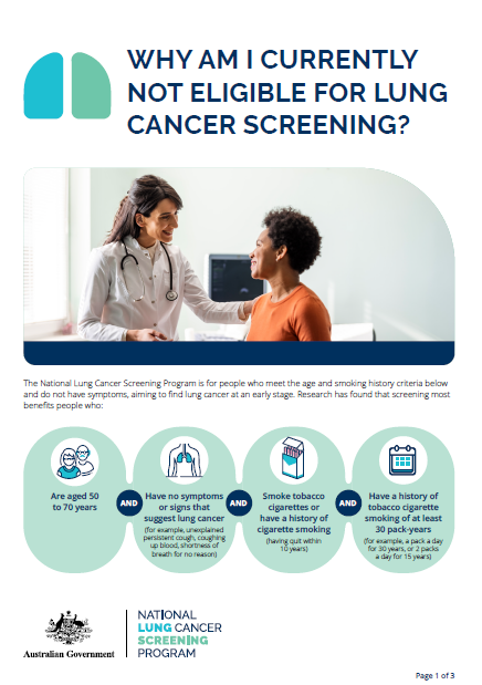
National Lung Cancer Screening Program – Why am I currently not eligible for lung cancer screening?
This fact sheet explains why a participant may not be eligible for the National Lung Cancer Screening Program and includes information about quitting smoking. -
Thriving Kids Advisory Group Communique – December 2025
This communique is published following each meeting of the Thriving Kids Advisory Group. It summarises the meeting discussions and outcomes.