Filter results
You can narrow down the results using the filters
Audience
Publication type
Topics
Our work
Diseases
9554 results
-
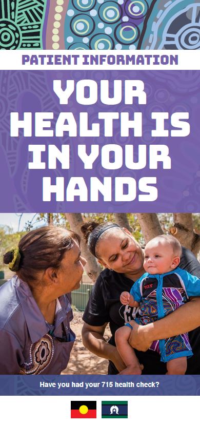
Annual health check for Aboriginal and Torres Strait Islander people – brochure – Your health is in your hands
This brochure outlines the free annual health check available to Aboriginal and Torres Strait Islander people, how it works, and why it's important. -
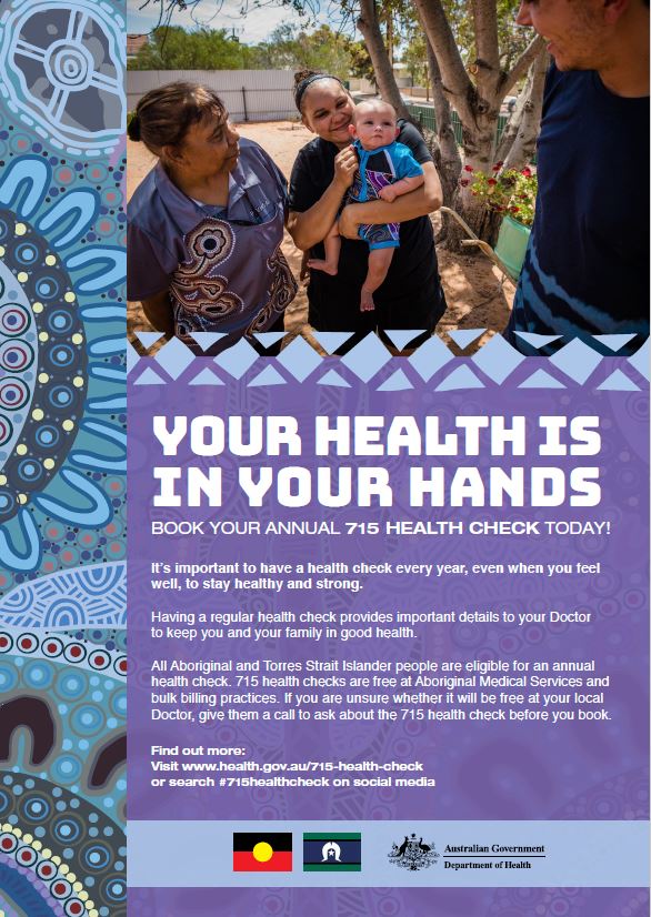
Annual health check for Aboriginal and Torres Strait Islander people – poster – Your health is in your hands
This poster encourages Aboriginal and Torres Strait Islander people to book their free annual health check. -
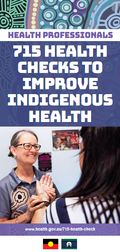
Annual health checks to improve Indigenous health
This brochure explains how the free annual health check for Aboriginal and Torres Strait Islander works, and how services can support patients to get their health check. -
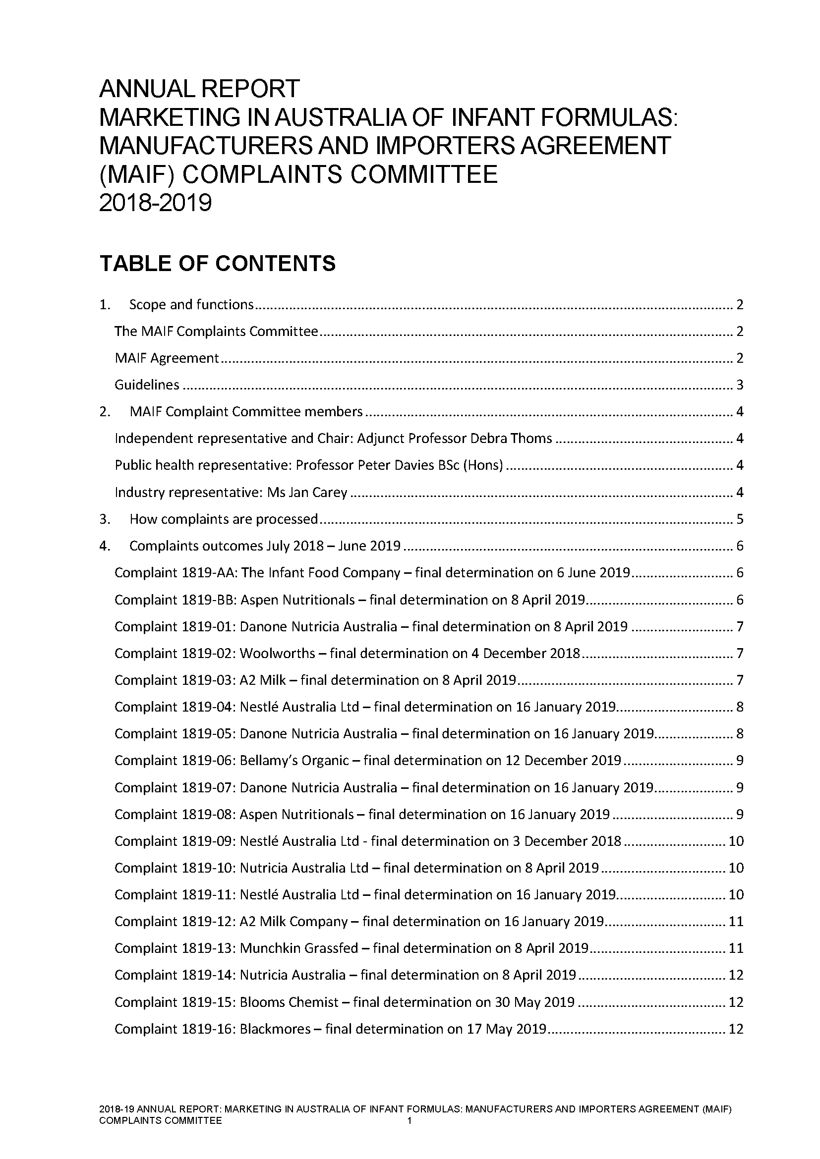
Annual report of the MAIF Agreement Complaints Committee 2018–19
This 2018–19 annual report of the Marketing in Australia of Infant Formulas (MAIF) Agreement Complaints Committee contains information about complaints the committee received in relation to the MAIF Agreement. -
Aged Care Sector Committee 2019 Communiques
Communiques for the 2019 meetings of the Aged Care Sector Committee. -
BreastScreen Australia – NAS Measure and Protocol Concise Descriptors and Acronyms
These short terms can be used by BreastScreen Australia stakeholders in documents and communications. -
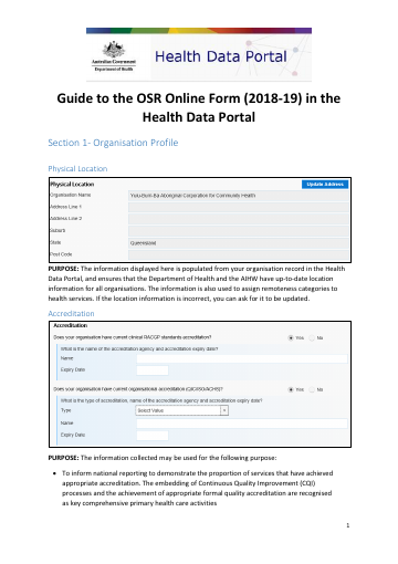
Guide to the OSR Online Form (2018-19) in the Health Data Portal
Instructions on how to enter On-line Services Report data into the Health Data Portal. -
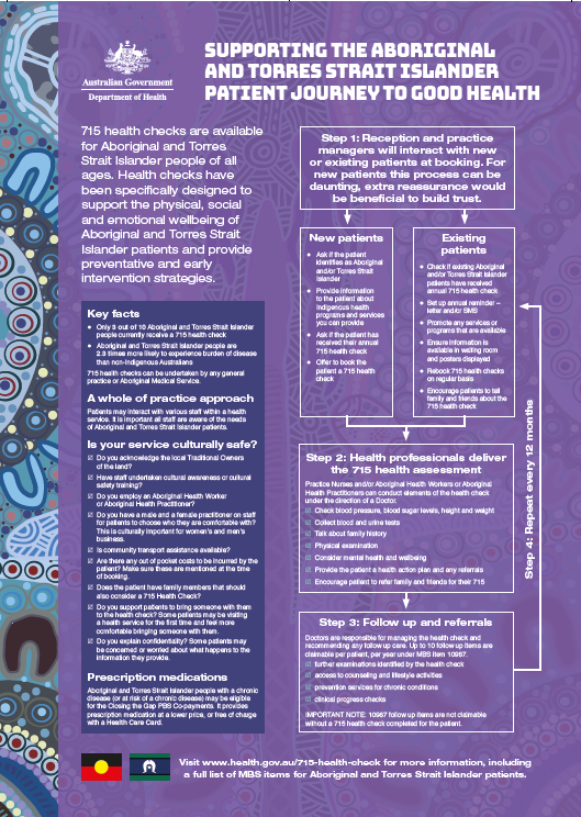
Supporting the Aboriginal and Torres Strait Islander patient journey to good health
This poster explains how the free annual health check for Aboriginal and Torres Strait Islander works, and outlines the steps to support patients to get their health check. -
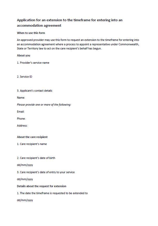
Application for an extension to the timeframe for entering into an accommodation agreement
Residential aged care providers can apply for an extension to the timeframe to sign an accommodation agreement using this form. -
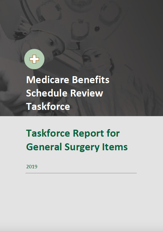
Taskforce final report – General Surgery items
This report contains the Medicare Benefits Schedule (MBS) Review Taskforce's findings and recommendations to the Australian Government on its review of general surgery. -
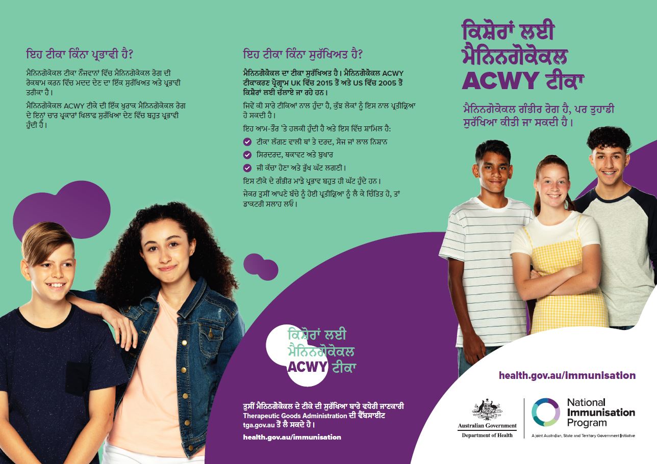
Adolescent meningococcal ACWY vaccine – brochure (Punjabi)
This brochure provides information (in Punjabi) about the meningococcal ACWY vaccine, available free for adolescents. -
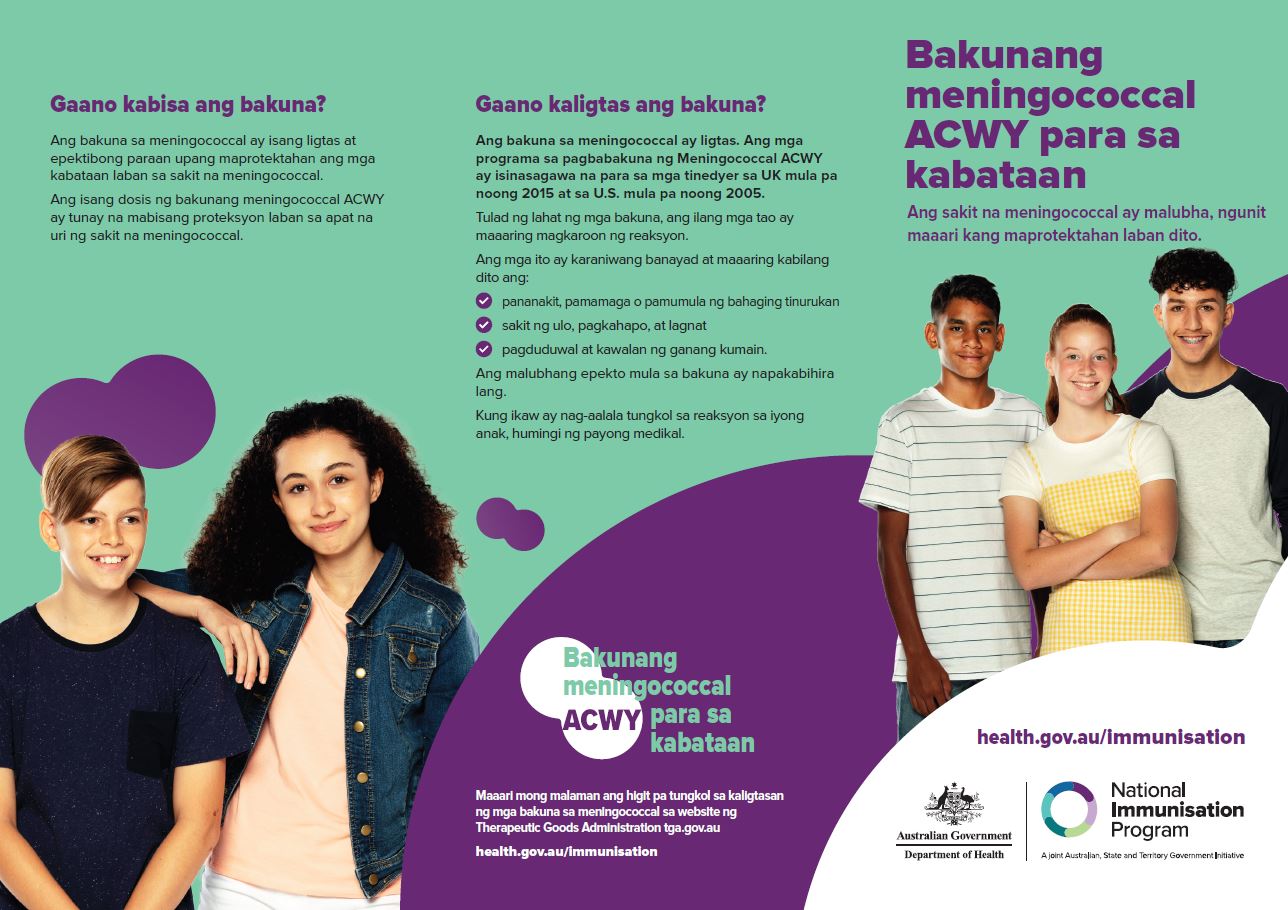
Adolescent meningococcal ACWY vaccine – brochure (Tagalog)
This brochure provides information (in Tagalog) about the meningococcal ACWY vaccine, available free for adolescents. -
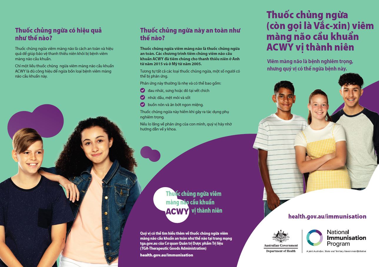
Adolescent meningococcal ACWY vaccine – brochure (Vietnamese)
This brochure provides information (in Vietnamese) about the meningococcal ACWY vaccine, available free for adolescents. -
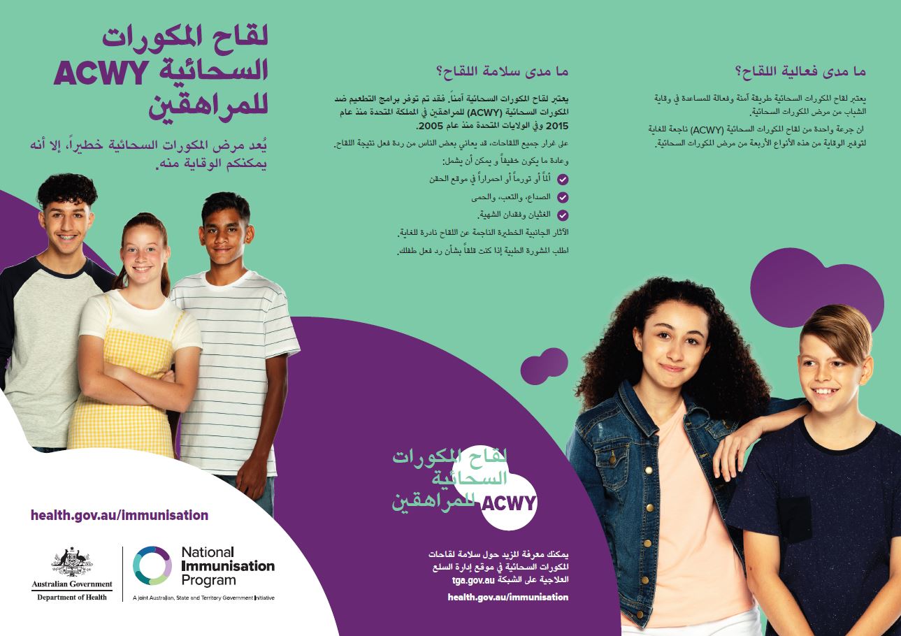
Adolescent meningococcal ACWY vaccine – brochure (Arabic)
This brochure provides information (in Arabic) about the meningococcal ACWY vaccine, available free for adolescents. -

Adolescent meningococcal ACWY vaccine – brochure (Simplified Chinese)
This brochure provides information (in Simplified Chinese) about the meningococcal ACWY vaccine, available free for adolescents. -

Adolescent meningococcal ACWY vaccine – brochure (Traditional Chinese)
This brochure provides information (in Traditional Chinese) about the meningococcal ACWY vaccine, available free for adolescents. -

Adolescent meningococcal ACWY vaccine – brochure (Greek)
This brochure provides information (in Greek) about the meningococcal ACWY vaccine, available free for adolescents. -

Adolescent meningococcal ACWY vaccine – brochure (Hindi)
This brochure provides information (in Hindi) about the meningococcal ACWY vaccine, available free for adolescents. -
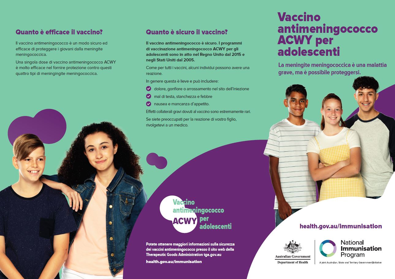
Adolescent meningococcal ACWY vaccine – brochure (Italian)
This brochure provides information (in Italian) about the meningococcal ACWY vaccine, available free for adolescents. -
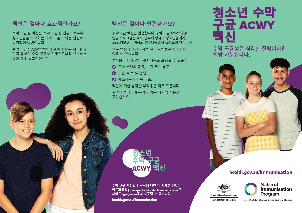
Adolescent meningococcal ACWY vaccine – brochure (Korean)
This brochure provides information (in Korean) about the meningococcal ACWY vaccine, available free for adolescents. -
Guidelines for Applying for the Higher Accommodation Supplement
Residential aged care providers use these guidelines to find out whether they're eligible for the higher accommodation supplement and to apply. -
Taskforce final report – Plastic and Reconstructive Surgery items
This report contains the Medicare Benefits Schedule (MBS) Review Taskforce's findings and recommendations to the Australian Government on its review of plastic and reconstructive surgery. -
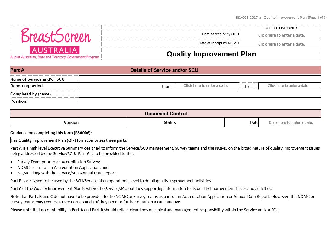
BreastScreen Australia – Quality improvement plan (BSA006)
BreastScreen Australia services and State Coordination Units (SCUs) use this form to identify strategies to improve performance against any unmet NAS Measures, or when declining performance trends are identified. It must be submitted as part of an application for accreditation. -
Taskforce final report – Orthopaedic MBS items
This report contains the Medicare Benefits Schedule (MBS) Review Taskforce's findings and recommendations to the Australian Government on its review of orthopaedics. -
Quality Use of Pathology (QUP) Project Stream – Final report National Certification Scheme for the medical laboratory scientific workforce project
This final report outlines the results of the Human Capital Alliance project to establish a National Certification Scheme for the medical laboratory scientific workforce.