Filter results
You can narrow down the results using the filters
Audience
Publication type
Topics
Our work
Diseases
9319 results
-
Supported decision making: Aged care provider training package
Aged care providers can use this training package to educate workers about supported decision-making.
-
Supported decision making: Aged care provider training presentation
Aged care providers can use this presentation to educate workers on applying supported decision-making in their daily work.
-
Embedding Rights: Policy and process checklist for aged care providers
Aged care providers can use this checklist to review policies and processes and assess if they uphold the Statement of Rights in practice.
-
Tip sheet for aged care providers: Checking for alignment between the Statement of Rights and the living experience of older people
Aged care providers can use this tip sheet to help align the Statement of Rights and the living experiences of older people.
-
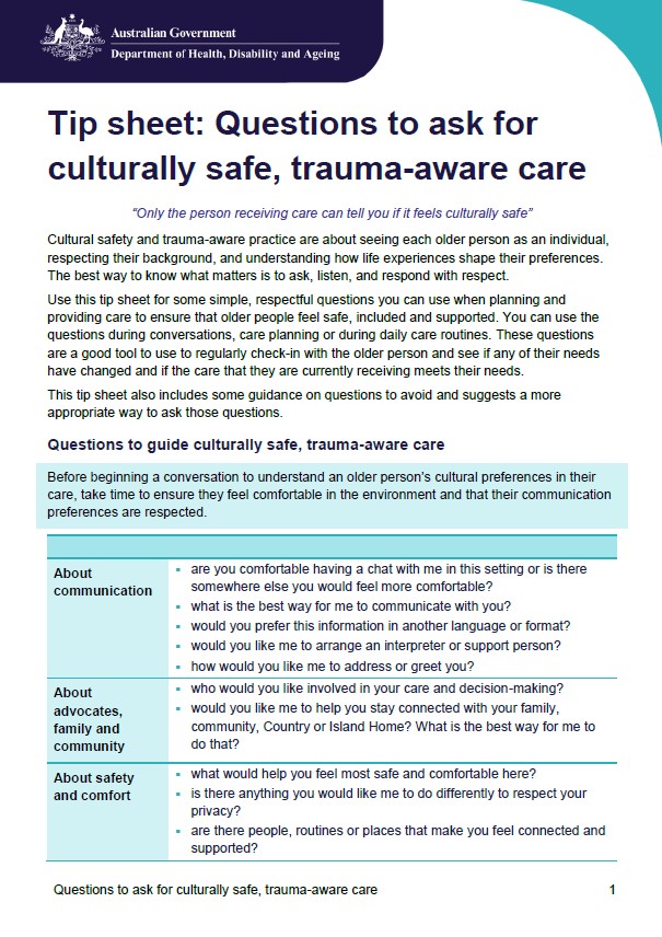
Tip sheet for aged care workers: Questions to ask for culturally safe, trauma-aware care
Aged care workers can use this tip sheet to ask questions and understand an older person's cultural preference.
-

Discussion card for aged care providers: What rights-based care looks like
Aged care providers can use this discussion card to explain to older people, their families and carers what rights-based care looks like.
-
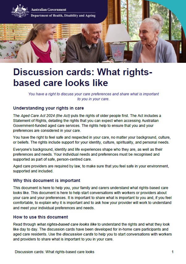
Discussion card for aged care workers: What rights-based care looks
Aged care workers can use this discussion card to explain to older people, their families and carers about what rights-based care looks like.
-

Reflection sheet for aged care providers - What matters to me in care
Aged care providers can use this reflection tool when talking to older people, their families and carers about their care preference.
-
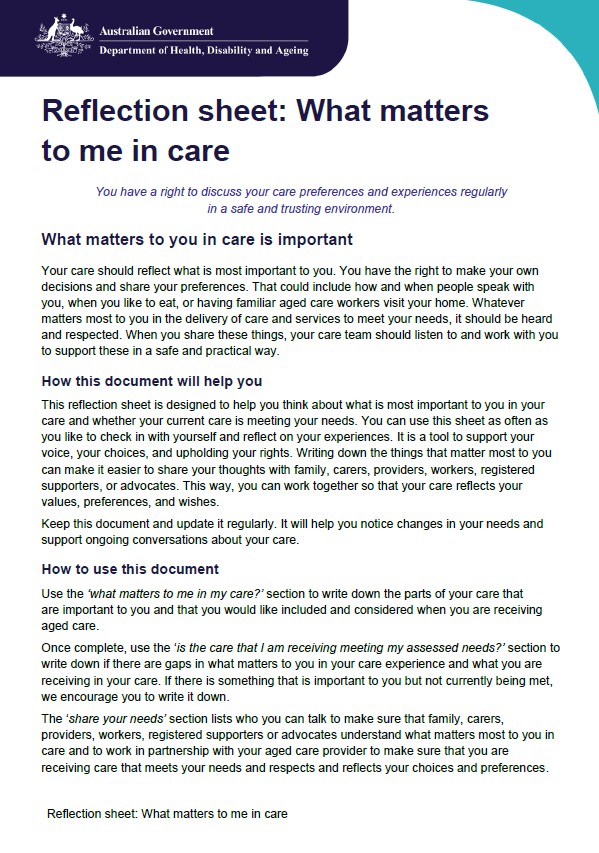
Reflection sheet for aged care workers: What matters to me in care
Aged care workers can use this reflection tool when talking to older people, their families and carers about their care preference.
-
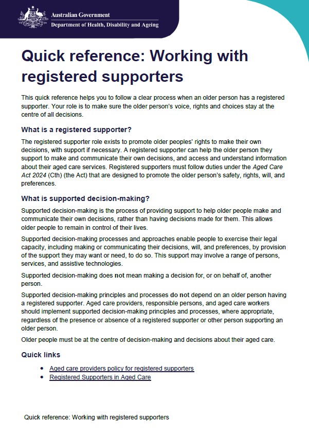
Quick reference guide for aged care workers: Working with registered supporters
Aged care workers can use this guide to step through the process of working with registered supporters.
-

Reflection sheet for workers: What matters to me in care
Workers can use this reflection tool when talking to older people, their families and carers about their care preference.
-

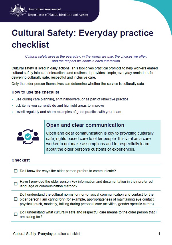
Everyday practice checklist on cultural safety for aged care providers
Aged care providers can use this checklist to deliver culturally safe, respectful and inclusive care.
-
Everyday practice checklist on cultural safety for aged care workers
Aged care workers can use this checklist to deliver culturally safe, respectful and inclusive care.
-
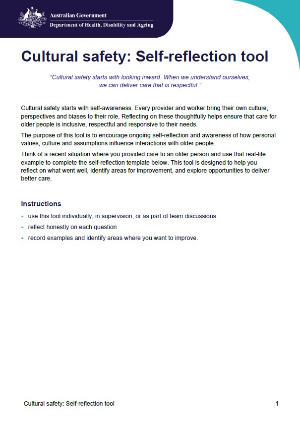
Cultural safety self-reflection tool for aged care workers
Aged care workers can use this tool for ongoing self-reflection on how personal values, culture and assumptions influence interactions with older people.
-
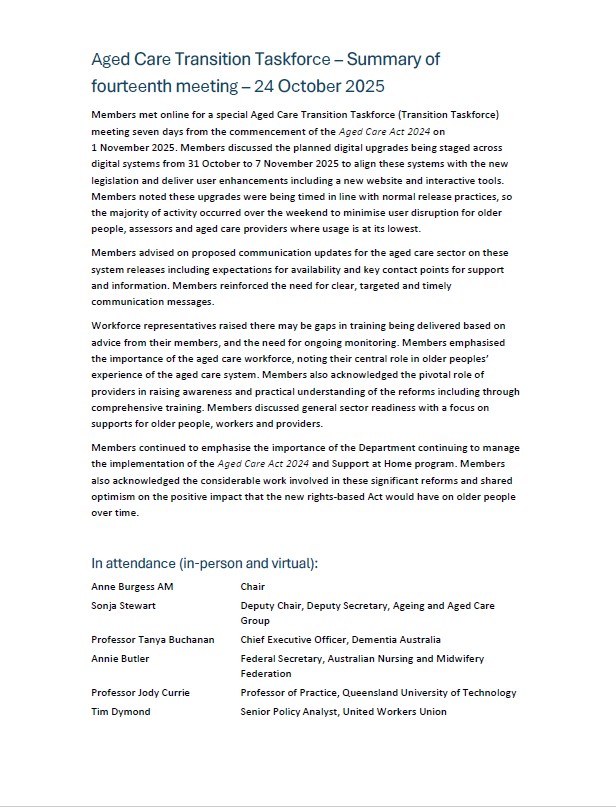
Aged Care Transition Taskforce – Summary of fourteenth meeting – 24 October 2025
A summary of the Aged Care Transition Taskforce meeting held on 24 October 2025. -
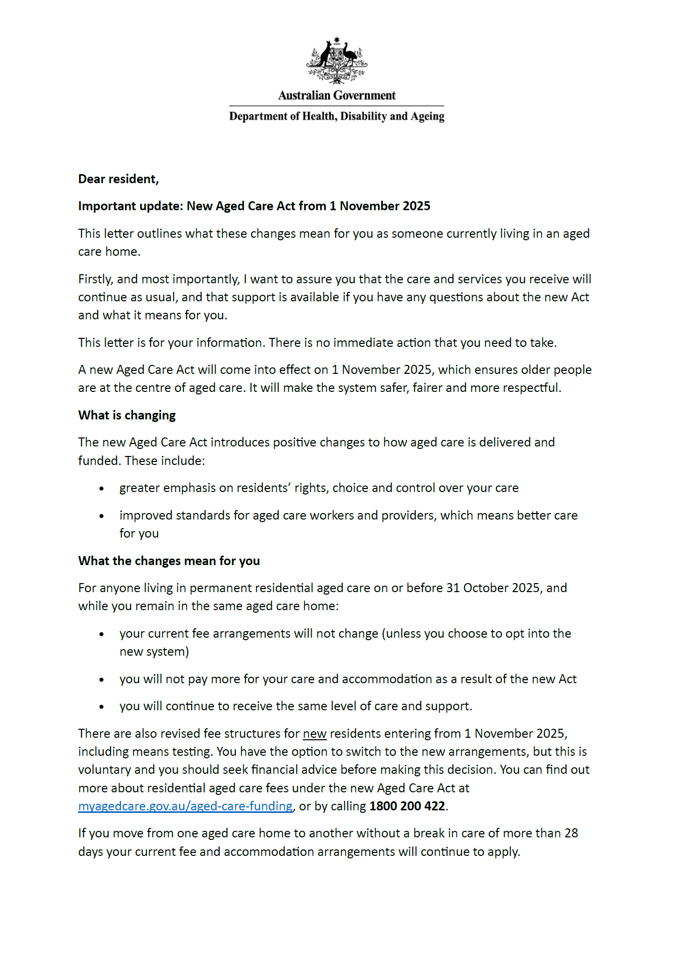
Letter to residential aged care residents – Important update: New Aged Care Act and your aged care fee arrangements
A copy of the letter sent to residential aged care providers to share with their residents. The letter provides an important update about the new Aged Care Act and their aged care fee arrangements. -
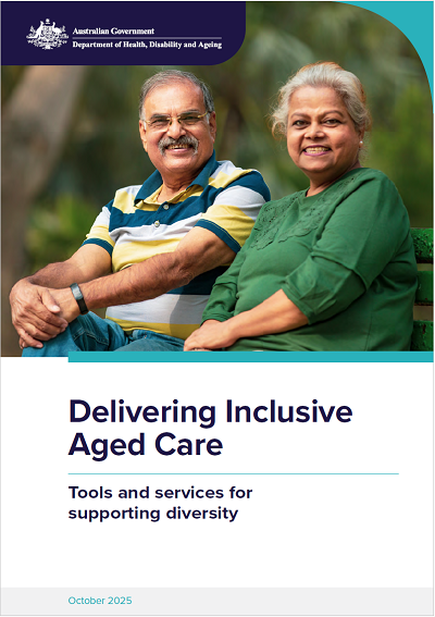
Delivering inclusive aged care booklet
This booklet provides essential information and resources to help aged care providers deliver culturally responsive and inclusive services to
older people from diverse backgrounds. -
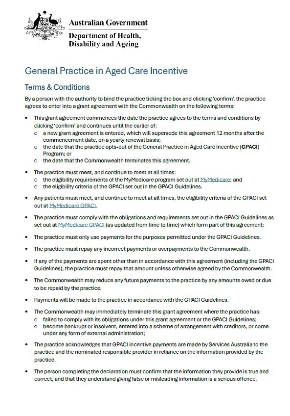
General Practice in Aged Care Incentive – terms & conditions
The Terms & Conditions Resource outlines the agreement made between practices and the Department for the General Practice Aged Care Incentive in MyMedicare. -
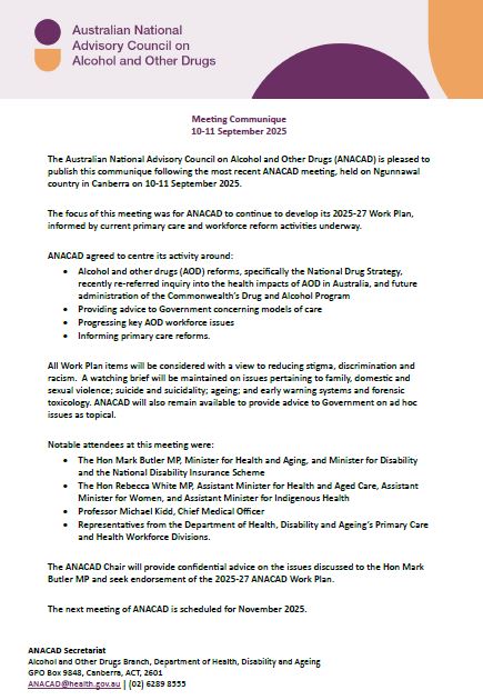
ANACAD Communique – September 2025
This document provides an update from the Australian National Advisory Council on Alcohol and Other Drugs (ANACAD) after their meeting in September 2025. -
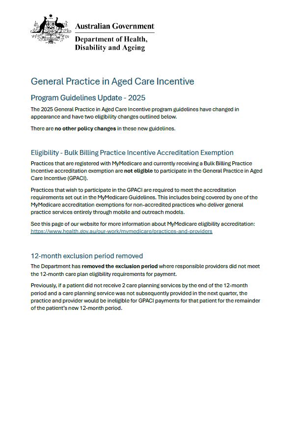
General Practice in Aged Care Incentive program guidelines – changes summary
The document outlines the key changes since the previous program guidelines. -

Own It stakeholder communication toolkit
This toolkit provides information and communication materials from the national Own It campaign. -
General Practice in Aged Care Incentive program guidelines
The guidelines provide advice on the service requirements, payments, assessments, and appeals process for the General Practice Aged Care Incentive. -
National Consistent Payments Framework (NCP) fact sheet – 2026
The framework provides information on a range of targeted financial payments to supervisors, training practices, and registrars commencing from Semester 1 2026. -
National Consistent Payments Guidelines – 2026
The guidelines will assist all AGPT participants, including supervisors, practices and registrars, to understand the eligibility criteria, the process of determining and delivering the basic support payments, and the process of accessing the flexible payment pool. -
Support at Home: Guidance for providers on service agreements
This document provides guidance to providers of in-home aged care about service agreements under the Support at Home program.