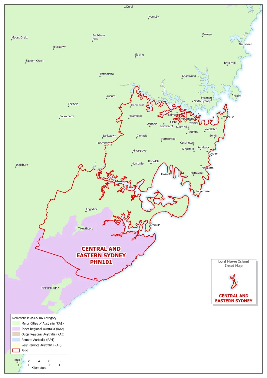
Australian Statistical Geography Standard (ASGS) remoteness areas include:
- Major cities
- Inner regional areas
- Outer regional areas
- Remote areas
- Very remote areas.
Central and Eastern Sydney (NSW) PHN map – ASGS remoteness area
![Central and Eastern Sydney (NSW) Primary Health Network (PHN) map – Australian Statistical Geography Standard (ASGS) remoteness area [PNG - 2 MB]](/sites/default/files/documents/2022/09/central-and-eastern-sydney-nsw-primary-health-network-phn-map-australian-statistical-geography-standard-asgs-remoteness-area.png)
About this resource
Publication date:
Publication type:
Infographic
Language:
English
Part of a collection: